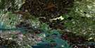
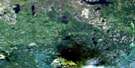
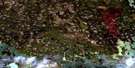
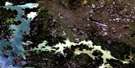
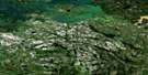
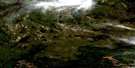
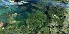
Kipahigan Lake Satellite Image Map
Download Free Aerial Photo 063N05 at 1:50,000 scale
Kipahigan Lake Satellite Imagery
To view this satellite map, mouse over the air photo on the right.
You can also download this satellite image map for free:
063N05 Kipahigan Lake high-resolution satellite image map.
Maps for the Kipahigan Lake aerial map sheet 063N05 at 1:50,000 scale are also available in these versions:
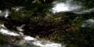
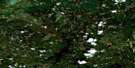
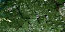
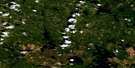
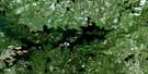
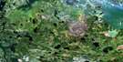
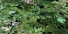
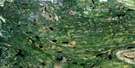
Kipahigan Lake Surrounding Area Aerial Photo Maps
 |
 |
 |
 |
 |
 |
 |
 |
 |
 |
 |
 |
 |
 |
 |
 |
© Department of Natural Resources Canada. All rights reserved.
Kipahigan Lake Gazetteer
The following places can be found on satellite image map 063N05 Kipahigan Lake:
Kipahigan Lake Satellite Image: Bays
Ralph BayWard Bay
Kipahigan Lake Satellite Image: Channels
Patterson NarrowsProctor Narrows
Kipahigan Lake Satellite Image: Islands
Boulton IslandIsfeld Island
Withers Island
Kipahigan Lake Satellite Image: Lakes
Caledon LakeCoull Lake
Dave Burke Lake
Dey Lake
Gestur Lake
Gummerson Lake
James Lake
Jumbo Lake
Kipahigan Lake
Kipahigan Lake
Morley Lake
Peter Phillips Lake
Prince Henry Lake
Prince Michael of Kent Lake
Prince William Lake
Princess Beatrice Lake
Princess Eugenie Lake
Russick Lake
Sweet Grass Lake
Tent Lake
Waterbury Lake
Zara Phillips Lake
Kipahigan Lake Satellite Image: Rivers
More Creek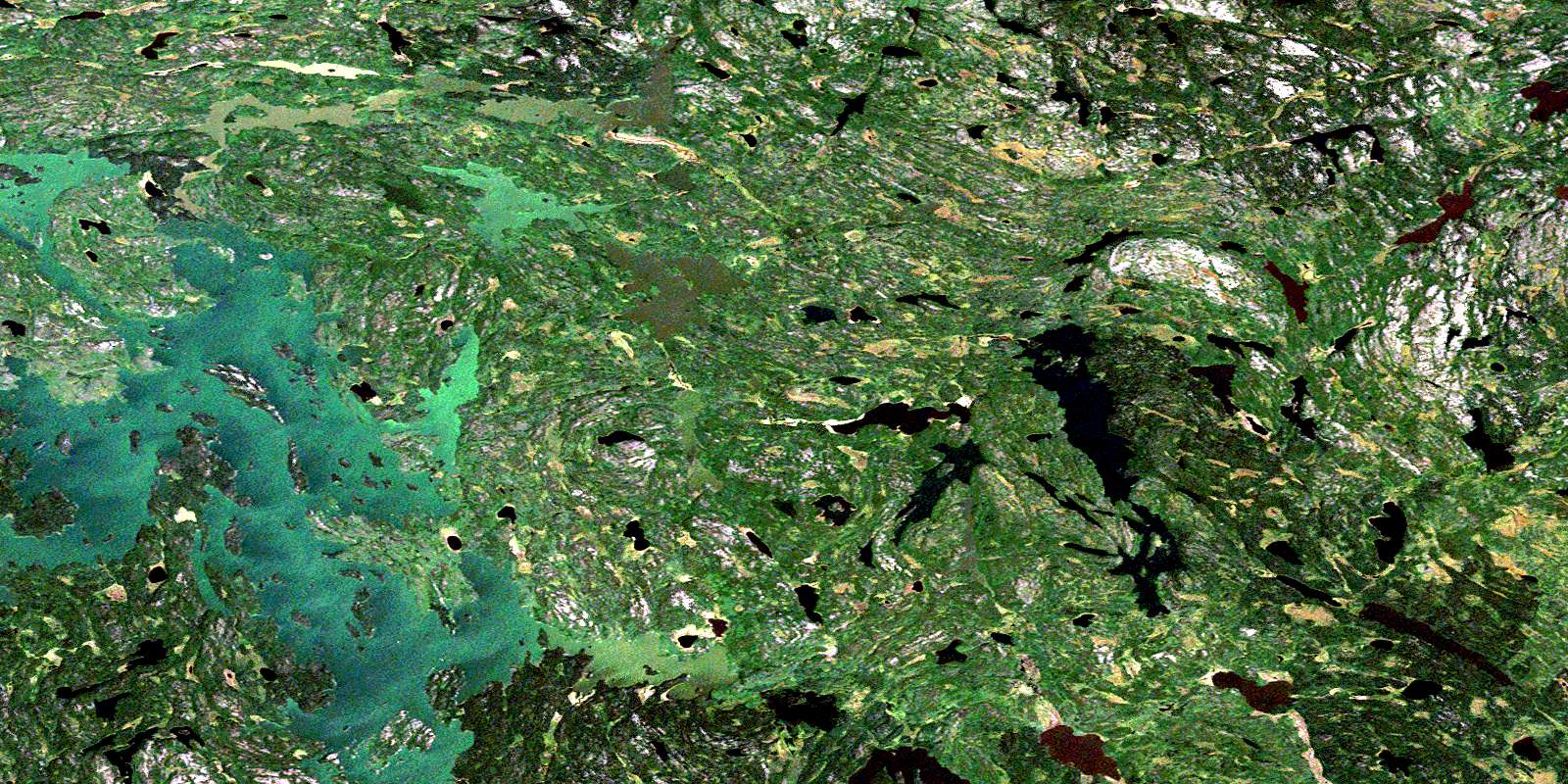
© Department of Natural Resources Canada. All rights reserved.
063N Related Maps:
063N Kississing Lake063N01 Nightingale Lake
063N02 Batty Lake
063N03 Sherridon
063N04 Duval Lake
063N05 Kipahigan Lake
063N06 Lamont Lake
063N07 Takipy Lake
063N08 Burntwood Lake
063N09 Pahayo Lake
063N10 Flatrock Lake
063N11 Pukatawagan
063N12 Sisipuk Lake
063N13 Britton Lake
063N14 Llama Lake
063N15 Madsen Bay
063N16 Highrock Lake
