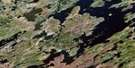
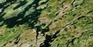
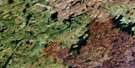
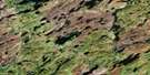
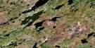
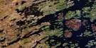
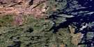
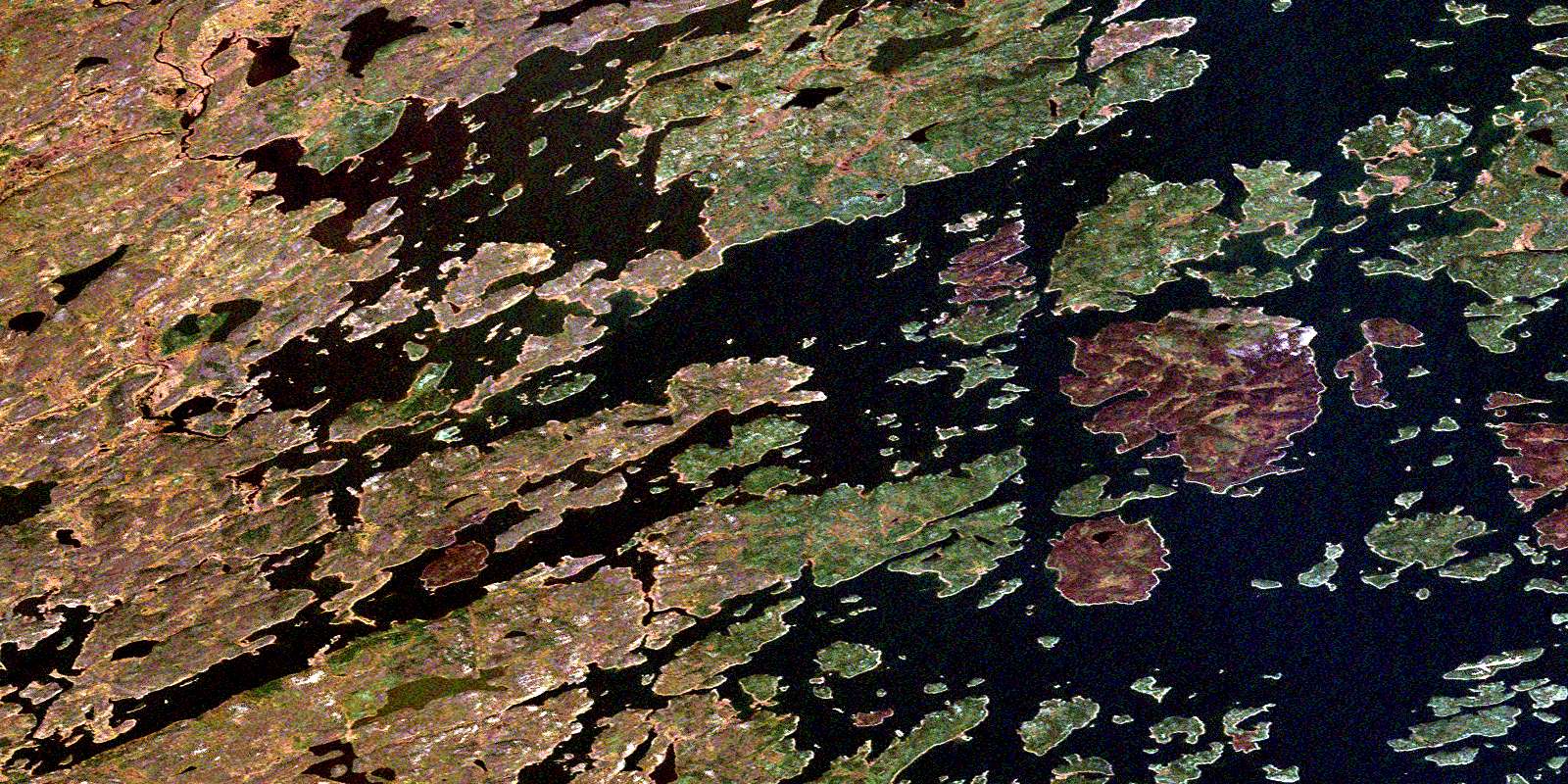
Bedford Island Satellite Image Map
Download Free Aerial Photo 064E07 at 1:50,000 scale
Bedford Island Satellite Imagery
To view this satellite map, mouse over the air photo on the right.
You can also download this satellite image map for free:
064E07 Bedford Island high-resolution satellite image map.
Maps for the Bedford Island aerial map sheet 064E07 at 1:50,000 scale are also available in these versions:
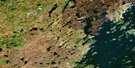
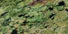
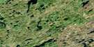
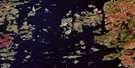
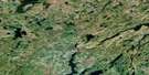
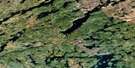
Bedford Island Surrounding Area Aerial Photo Maps
 |
 |
 |
 |
 |
 |
 |
 |
 |
 |
 |
 |
 |
 |
 |
 |
© Department of Natural Resources Canada. All rights reserved.
Bedford Island Gazetteer
The following places can be found on satellite image map 064E07 Bedford Island:
Bedford Island Satellite Image: Bays
Kowalski BayRobinson Bay
Swan Bay
Turner Bay
Vermilion Bay
Bedford Island Satellite Image: Capes
Brown PointVermilion Point
Bedford Island Satellite Image: Channels
McLean ChannelReid Channel
Bedford Island Satellite Image: Islands
Adams IslandBedford Island
Bladon Island
Brown Islands
Burton Island
Gibson Island
Hay Island
Hourston Island
McCrea Island
Morton Island
Morton Islands
Pickett Island
Reindeer Island
Stickler Island
Vermilion Island
Weaver Island
Wilson Island
Bedford Island Satellite Image: Lakes
Conacher LakeReilly Lake
Reindeer Lake
Suffern Lake
Bedford Island Satellite Image: Rapids
Robertson RapidsBedford Island Satellite Image: Rivers
Meshke CreekSwan River
Wathaman River
© Department of Natural Resources Canada. All rights reserved.
064E Related Maps:
064E Compulsion Bay064E01 Cheesman Island
064E02 Wepusko Bay
064E03 Reilly Lake
064E04 Robson Lake
064E05 Combe Lake
064E06 Rutherford Lake
064E07 Bedford Island
064E08 Beaver Island
064E09 Ballentin Island
064E10 Patterson Island
064E11 Cairns Lake
064E12 Morell Lake
064E13 Nekweaga Bay
064E14 Brandser Island
064E15 Reynolds Lake
064E16 Feaviour Peninsula
