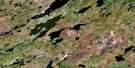
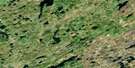
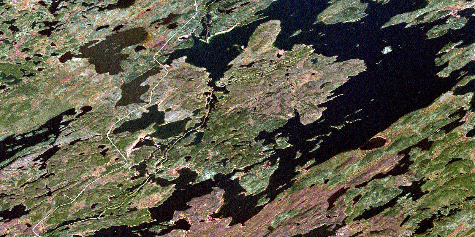
Nekweaga Bay Satellite Image Map
Download Free Aerial Photo 064E13 at 1:50,000 scale
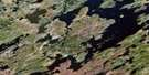
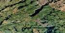
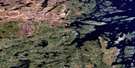
Nekweaga Bay Satellite Imagery
To view this satellite map, mouse over the air photo on the right.
You can also download this satellite image map for free:
064E13 Nekweaga Bay high-resolution satellite image map.
Maps for the Nekweaga Bay aerial map sheet 064E13 at 1:50,000 scale are also available in these versions:
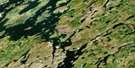
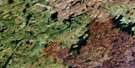
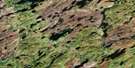
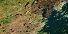
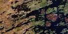
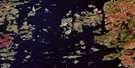
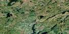
Nekweaga Bay Surrounding Area Aerial Photo Maps
 |
 |
 |
 |
 |
 |
 |
 |
 |
 |
 |
 |
 |
 |
 |
 |
© Department of Natural Resources Canada. All rights reserved.
Nekweaga Bay Gazetteer
The following places can be found on satellite image map 064E13 Nekweaga Bay:
Nekweaga Bay Satellite Image: Bays
Dorward BayMinor Bay
Nekweaga Bay
Nekweaga Bay Satellite Image: Islands
Burman IslandEstevan Island
Horton Island
Linn Island
Munro Island
Nekweaga Bay Satellite Image: Lakes
Ahenakew LakeBoland Lake
Dwyer Lake
Dzikowicz Lake
Grice Lake
Huggins Lake
Jackson Lake
Kidd Lake
McConnell Lake
Michael Lake
Reisner Lake
Robertson Lake
Salaba Lake
Wollaston Lake
Nekweaga Bay Satellite Image: Rivers
Geikie RiverStevenson River
© Department of Natural Resources Canada. All rights reserved.
064E Related Maps:
064E Compulsion Bay064E01 Cheesman Island
064E02 Wepusko Bay
064E03 Reilly Lake
064E04 Robson Lake
064E05 Combe Lake
064E06 Rutherford Lake
064E07 Bedford Island
064E08 Beaver Island
064E09 Ballentin Island
064E10 Patterson Island
064E11 Cairns Lake
064E12 Morell Lake
064E13 Nekweaga Bay
064E14 Brandser Island
064E15 Reynolds Lake
064E16 Feaviour Peninsula
