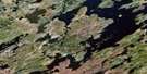
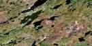
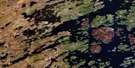
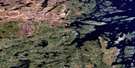
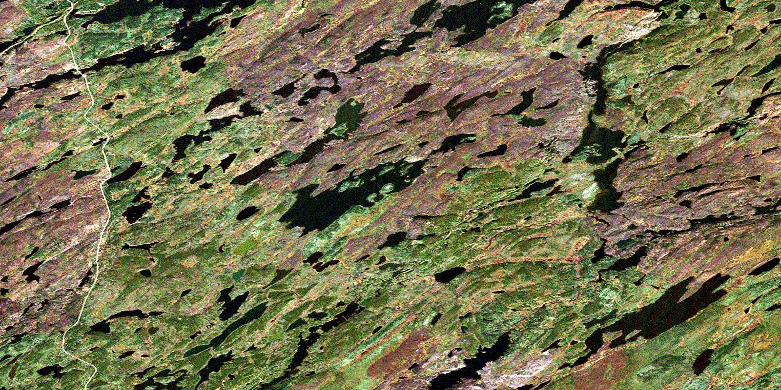
Morell Lake Satellite Image Map
Download Free Aerial Photo 064E12 at 1:50,000 scale
Morell Lake Satellite Imagery
To view this satellite map, mouse over the air photo on the right.
You can also download this satellite image map for free:
064E12 Morell Lake high-resolution satellite image map.
Maps for the Morell Lake aerial map sheet 064E12 at 1:50,000 scale are also available in these versions:
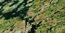
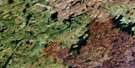
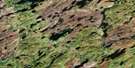
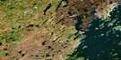
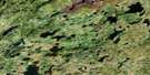
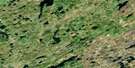
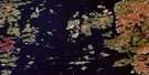
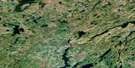
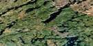
Morell Lake Surrounding Area Aerial Photo Maps
 |
 |
 |
 |
 |
 |
 |
 |
 |
 |
 |
 |
 |
 |
 |
 |
© Department of Natural Resources Canada. All rights reserved.
Morell Lake Gazetteer
The following places can be found on satellite image map 064E12 Morell Lake:
Morell Lake Satellite Image: Lakes
Brakewell LakeCausier Lake
Hills Lake
Jamieson Lake
Lucie Lake
Morell Lake
Oriordan Lake
Salaba Lake
Scutt Lake
Simpson Lake
Spence Lake
Wollaston Lake
Zentner Lake
Morell Lake Satellite Image: Mountains
Smith RidgeMorell Lake Satellite Image: Conservation areas
Geikie River Recreation SiteMorell Lake Satellite Image: Rivers
Compulsion RiverGeikie River
© Department of Natural Resources Canada. All rights reserved.
064E Related Maps:
064E Compulsion Bay064E01 Cheesman Island
064E02 Wepusko Bay
064E03 Reilly Lake
064E04 Robson Lake
064E05 Combe Lake
064E06 Rutherford Lake
064E07 Bedford Island
064E08 Beaver Island
064E09 Ballentin Island
064E10 Patterson Island
064E11 Cairns Lake
064E12 Morell Lake
064E13 Nekweaga Bay
064E14 Brandser Island
064E15 Reynolds Lake
064E16 Feaviour Peninsula
