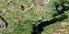
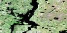
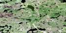
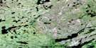
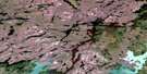
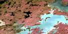
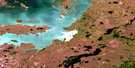
Wolf Lake Satellite Image Map
Download Free Aerial Photo 064G14 at 1:50,000 scale
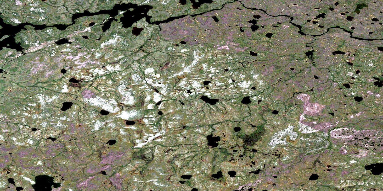
Wolf Lake Satellite Imagery
To view this satellite map, mouse over the air photo on the right.
You can also download this satellite image map for free:
064G14 Wolf Lake high-resolution satellite image map.
Maps for the Wolf Lake aerial map sheet 064G14 at 1:50,000 scale are also available in these versions:
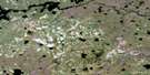
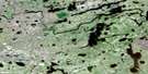
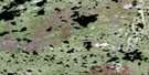
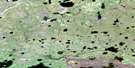
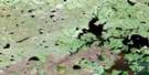
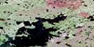
Wolf Lake Surrounding Area Aerial Photo Maps
 |
 |
 |
 |
 |
 |
 |
 |
 |
 |
 |
 |
 |
 |
 |
 |
© Department of Natural Resources Canada. All rights reserved.
Wolf Lake Gazetteer
The following places can be found on satellite image map 064G14 Wolf Lake:
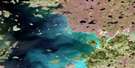
Wolf Lake Satellite Image: Lakes
Barnson LakeBig Sand Lake
Crow Lake
Garman Lake
Harrigan Lake
Hollis Lake
Marks Lake
Pidlaski Lake
Scorer Lake
Smyth Lake
Stevens Lake
Umisko Lake
Wolf Lake
Wolf Lake Satellite Image: Mountains
Ross EskerWilson Hill
Wolf Lake Satellite Image: Conservation areas
Sand Lakes Provincial ParkWolf Lake Satellite Image: Rivers
Bowes CreekBoyd Creek
Pisew Creek
South Seal River
Stevens River
© Department of Natural Resources Canada. All rights reserved.
064G Related Maps:
064G Big Sand Lake064G01 Torrance Lake
064G02 Numakoos Lake
064G03 Mulcahy Lake
064G04 Grandmother Lake
064G05 James Lake
064G06 Mackerracher Lake
064G07 Nutter Lake
064G08 Missi Rapid
064G09 Hammond Point
064G10 Moss Lake
064G11 Sedgwick Lake
064G12 Hendry Lake
064G13 Maxwell Lake
064G14 Wolf Lake
064G15 Little Sand Lake
064G16 Chipewyan Lake
