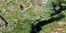
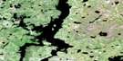
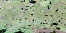
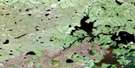
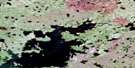
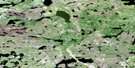
Chipewyan Lake Satellite Image Map
Download Free Aerial Photo 064G16 at 1:50,000 scale
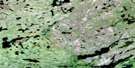
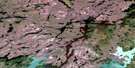
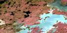
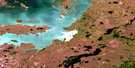
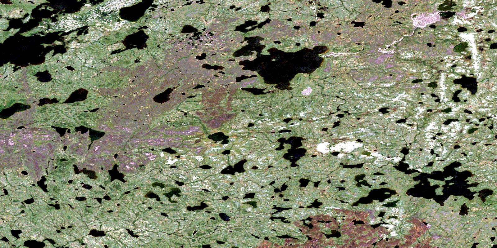
Chipewyan Lake Satellite Imagery
To view this satellite map, mouse over the air photo on the right.
You can also download this satellite image map for free:
064G16 Chipewyan Lake high-resolution satellite image map.
Maps for the Chipewyan Lake aerial map sheet 064G16 at 1:50,000 scale are also available in these versions:
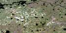
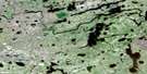
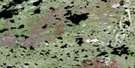
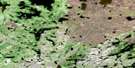
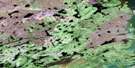
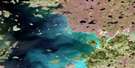
Chipewyan Lake Surrounding Area Aerial Photo Maps
 |
 |
 |
 |
 |
 |
 |
 |
 |
 |
 |
 |
 |
 |
 |
 |
© Department of Natural Resources Canada. All rights reserved.
Chipewyan Lake Gazetteer
The following places can be found on satellite image map 064G16 Chipewyan Lake:
Chipewyan Lake Satellite Image: Bays
Rogers BayChipewyan Lake Satellite Image: Capes
Olson PeninsulaChipewyan Lake Satellite Image: Islands
Folster IslandChipewyan Lake Satellite Image: Lakes
Brumwell LakeCederlund Lake
Chipewyan Lake
Christensen Lake
Forman Lake
Fowell Lake
Gibbs Lake
Jacobs Lake
McKennie Lake
Mundell Lake
Mushumanski Lake
Namaypin Lake
Parry Lake
Pink Lake
Soderstrom Lake
Steuart Lake
Strand Lake
Thomson Lake
Toth Lake
Chipewyan Lake Satellite Image: Mountains
Robinson EskerChipewyan Lake Satellite Image: Conservation areas
Sand Lakes Provincial ParkChipewyan Lake Satellite Image: Rivers
Larsen RiverLarsen River
South Seal River
Waddie River
© Department of Natural Resources Canada. All rights reserved.
064G Related Maps:
064G Big Sand Lake064G01 Torrance Lake
064G02 Numakoos Lake
064G03 Mulcahy Lake
064G04 Grandmother Lake
064G05 James Lake
064G06 Mackerracher Lake
064G07 Nutter Lake
064G08 Missi Rapid
064G09 Hammond Point
064G10 Moss Lake
064G11 Sedgwick Lake
064G12 Hendry Lake
064G13 Maxwell Lake
064G14 Wolf Lake
064G15 Little Sand Lake
064G16 Chipewyan Lake
