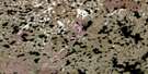
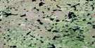
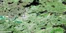
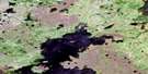
Freeman Lake Satellite Image Map
Download Free Aerial Photo 064H08 at 1:50,000 scale
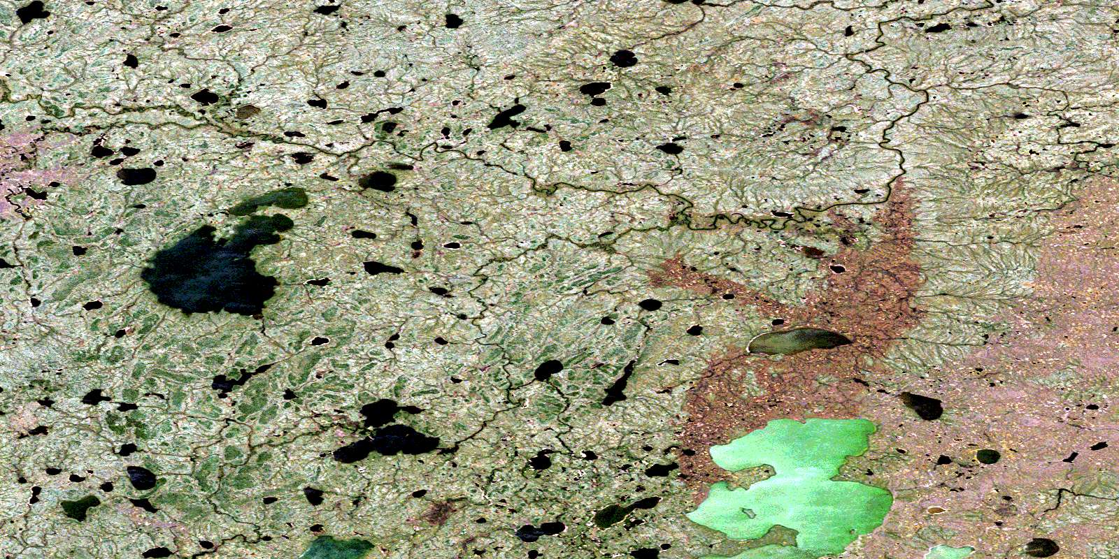
Freeman Lake Satellite Imagery
To view this satellite map, mouse over the air photo on the right.
You can also download this satellite image map for free:
064H08 Freeman Lake high-resolution satellite image map.
Maps for the Freeman Lake aerial map sheet 064H08 at 1:50,000 scale are also available in these versions:
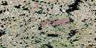
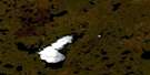
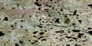
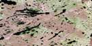
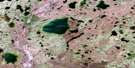
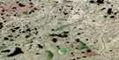
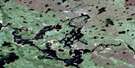
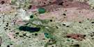
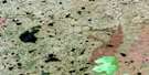
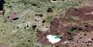
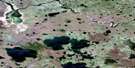
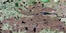
Freeman Lake Surrounding Area Aerial Photo Maps
 |
 |
 |
 |
 |
 |
 |
 |
 |
 |
 |
 |
 |
 |
 |
 |
© Department of Natural Resources Canada. All rights reserved.
Freeman Lake Gazetteer
The following places can be found on satellite image map 064H08 Freeman Lake:
Freeman Lake Satellite Image: Bays
Jack BayFreeman Lake Satellite Image: Capes
German PointGirman Point
Warner Peninsula
Freeman Lake Satellite Image: Lakes
Askipocha LakeFrank Johnson Lake
Freeman Lake
Garonski Lake
Hogg Lake
Linklater Lake
Millidge Lake
Muskowatik Lake
Petersen Lake
Robert Stewart Lake
Shakownipew Lake
Sweers Lake
Tataskwayow Lake
Freeman Lake Satellite Image: Rivers
Jonasson CreekLittle Beaver River
© Department of Natural Resources Canada. All rights reserved.
064H Related Maps:
064H Northern Indian Lake064H01 Billard Lake
064H02 Holmes Lake
064H03 Hood Lake
064H04 Mcleod Peninsula
064H05 Wood Lake
064H06 Kilfoyle Lake
064H07 Solmundsson Lake
064H08 Freeman Lake
064H09 Rusnak Lake
064H10 Buckland Lake
064H11 Small Lake
064H12 Majury Lake
064H13 Currie Lake
064H14 Knifehead Lake
064H15 Etawney Lake
064H16 Einarson Lake
