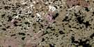
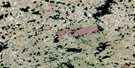
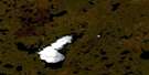
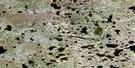
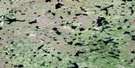
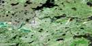
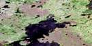
Small Lake Satellite Image Map
Download Free Aerial Photo 064H11 at 1:50,000 scale
Small Lake Satellite Imagery
To view this satellite map, mouse over the air photo on the right.
You can also download this satellite image map for free:
064H11 Small Lake high-resolution satellite image map.
Maps for the Small Lake aerial map sheet 064H11 at 1:50,000 scale are also available in these versions:
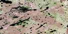
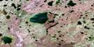
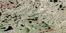
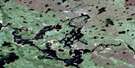
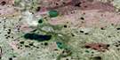
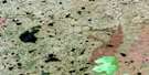
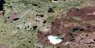
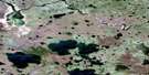
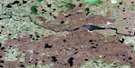
Small Lake Surrounding Area Aerial Photo Maps
 |
 |
 |
 |
 |
 |
 |
 |
 |
 |
 |
 |
 |
 |
 |
 |
© Department of Natural Resources Canada. All rights reserved.
Small Lake Gazetteer
The following places can be found on satellite image map 064H11 Small Lake:
Small Lake Satellite Image: Bays
Matheson BayRussell Bay
Small Lake Satellite Image: Islands
Baldock IslandRyan Island
Thomas Island
Small Lake Satellite Image: Lakes
Danielson LakeFerro Lake
Freele Lake
Gilliland Lake
Hauk Lake
Hibbert Lake
Houlden Lake
Korney Lake
Macaulay Lake
MacAuley Lake
Manchur Lake
Price Lake
Schleihauf Lake
Schliehauf Lake
Small Lake
Stark Lake
Stefanchuk Lake
Stinson Lake
Yaroway Lake
Small Lake Satellite Image: Conservation areas
Sand Lakes Provincial ParkSmall Lake Satellite Image: Rivers
Oldman River
© Department of Natural Resources Canada. All rights reserved.
064H Related Maps:
064H Northern Indian Lake064H01 Billard Lake
064H02 Holmes Lake
064H03 Hood Lake
064H04 Mcleod Peninsula
064H05 Wood Lake
064H06 Kilfoyle Lake
064H07 Solmundsson Lake
064H08 Freeman Lake
064H09 Rusnak Lake
064H10 Buckland Lake
064H11 Small Lake
064H12 Majury Lake
064H13 Currie Lake
064H14 Knifehead Lake
064H15 Etawney Lake
064H16 Einarson Lake
