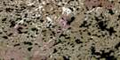
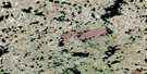
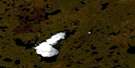
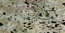
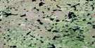
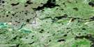
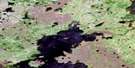
Kilfoyle Lake Satellite Image Map
Download Free Aerial Photo 064H06 at 1:50,000 scale
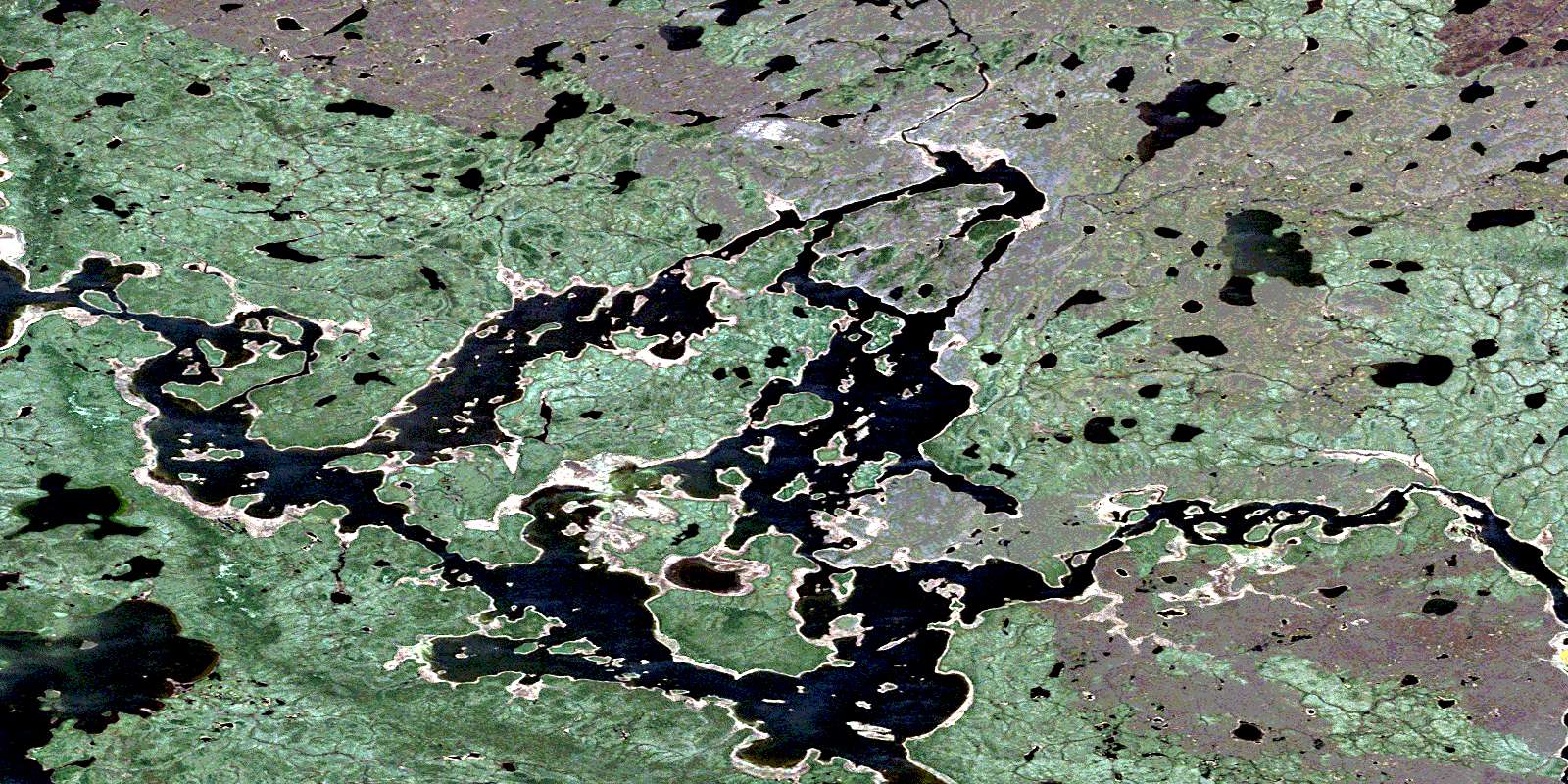
Kilfoyle Lake Satellite Imagery
To view this satellite map, mouse over the air photo on the right.
You can also download this satellite image map for free:
064H06 Kilfoyle Lake high-resolution satellite image map.
Maps for the Kilfoyle Lake aerial map sheet 064H06 at 1:50,000 scale are also available in these versions:
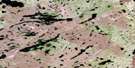
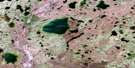
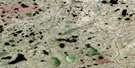
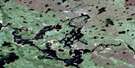
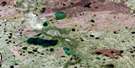
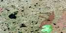
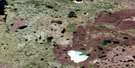
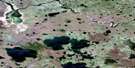
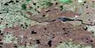
Kilfoyle Lake Surrounding Area Aerial Photo Maps
 |
 |
 |
 |
 |
 |
 |
 |
 |
 |
 |
 |
 |
 |
 |
 |
© Department of Natural Resources Canada. All rights reserved.
Kilfoyle Lake Gazetteer
The following places can be found on satellite image map 064H06 Kilfoyle Lake:
Kilfoyle Lake Satellite Image: Bays
Barker BayMuheekun Bay
Webb Bay
Weir Bay
Kilfoyle Lake Satellite Image: Capes
Miller PeninsulaKilfoyle Lake Satellite Image: Channels
Hay NarrowsKilfoyle Lake Satellite Image: Islands
Bird IslandBurke Island
Craig Island
Davidson Island
Knight Island
McDonald Island
Kilfoyle Lake Satellite Image: Lakes
Asham LakeEdmonds Lake
England Lake
Johnsen Lake
Kilfoyle Lake
Missinipi Lake
Northern Indian Lake
Steventon Lake
Thorsteinson Lake
Toland Lake
Willson Lake
Kilfoyle Lake Satellite Image: Rapids
Kirkness RapidsWilson Rapids
Kilfoyle Lake Satellite Image: Rivers
Churchill RiverMuheekun River
Oldman River
Rivière Churchill
© Department of Natural Resources Canada. All rights reserved.
064H Related Maps:
064H Northern Indian Lake064H01 Billard Lake
064H02 Holmes Lake
064H03 Hood Lake
064H04 Mcleod Peninsula
064H05 Wood Lake
064H06 Kilfoyle Lake
064H07 Solmundsson Lake
064H08 Freeman Lake
064H09 Rusnak Lake
064H10 Buckland Lake
064H11 Small Lake
064H12 Majury Lake
064H13 Currie Lake
064H14 Knifehead Lake
064H15 Etawney Lake
064H16 Einarson Lake
