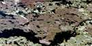
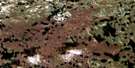
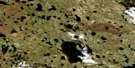
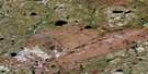
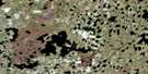
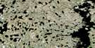
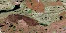
Ashley Lake Satellite Image Map
Download Free Aerial Photo 064I04 at 1:50,000 scale
Ashley Lake Satellite Imagery
To view this satellite map, mouse over the air photo on the right.
You can also download this satellite image map for free:
064I04 Ashley Lake high-resolution satellite image map.
Maps for the Ashley Lake aerial map sheet 064I04 at 1:50,000 scale are also available in these versions:
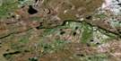
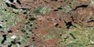
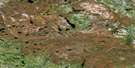
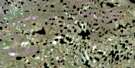
Ashley Lake Surrounding Area Aerial Photo Maps
 |
 |
 |
 |
 |
 |
 |
 |
 |
 |
 |
 |
 |
 |
 |
 |
© Department of Natural Resources Canada. All rights reserved.
Ashley Lake Gazetteer
The following places can be found on satellite image map 064I04 Ashley Lake:
Ashley Lake Satellite Image: Bays
Nicholl BayAshley Lake Satellite Image: Capes
Bailey PointMarsh Peninsula
Milne Island
Ashley Lake Satellite Image: Islands
Hooper IslandAshley Lake Satellite Image: Lakes
Ashley LakeBecker Lake
Deacon Lake
Goodmanson Lake
Hlady Lake
Houghton Lake
John Wilson Lake
Kozak Lake
McCumber Lake
McGookin Lake
Olenick Lake
Osadick Lake
Podborachinski Lake
Podborochinski Lake
Sandison Lake
Starrett Lake
Trakalo Lake
Walford Lake
Zastre Lake
Ashley Lake Satellite Image: Mountains
Davis EskerJones Esker
Lewis Esker
Ashley Lake Satellite Image: Conservation areas
Sand Lakes Provincial ParkAshley Lake Satellite Image: Rivers
Watson River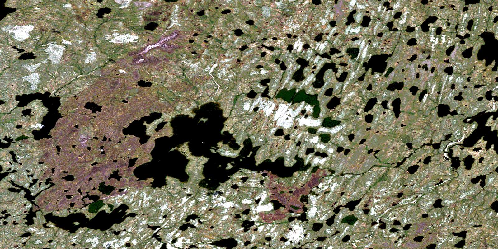
© Department of Natural Resources Canada. All rights reserved.
064I Related Maps:
064I Shethanei Lake064I01 Merriam Lake
064I02 Allan Lake
064I03 Blyth Lake
064I04 Ashley Lake
064I05 Legary Lake
064I06 Paragon Lake
064I07 Archer Creek
064I08 Nares Lake
064I09 Nichol Lake
064I10 Lovat Lake
064I11 Quinn Lake
064I12 Wasslen Lake
064I13 Dawes Lake
064I14 Steel River
064I15 Wither Lake
064I16 Meades Lake
