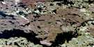
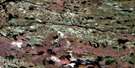
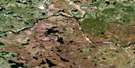
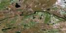
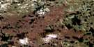
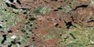
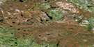
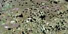
Steel River Satellite Image Map
Download Free Aerial Photo 064I14 at 1:50,000 scale
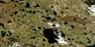
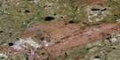
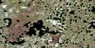
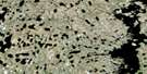
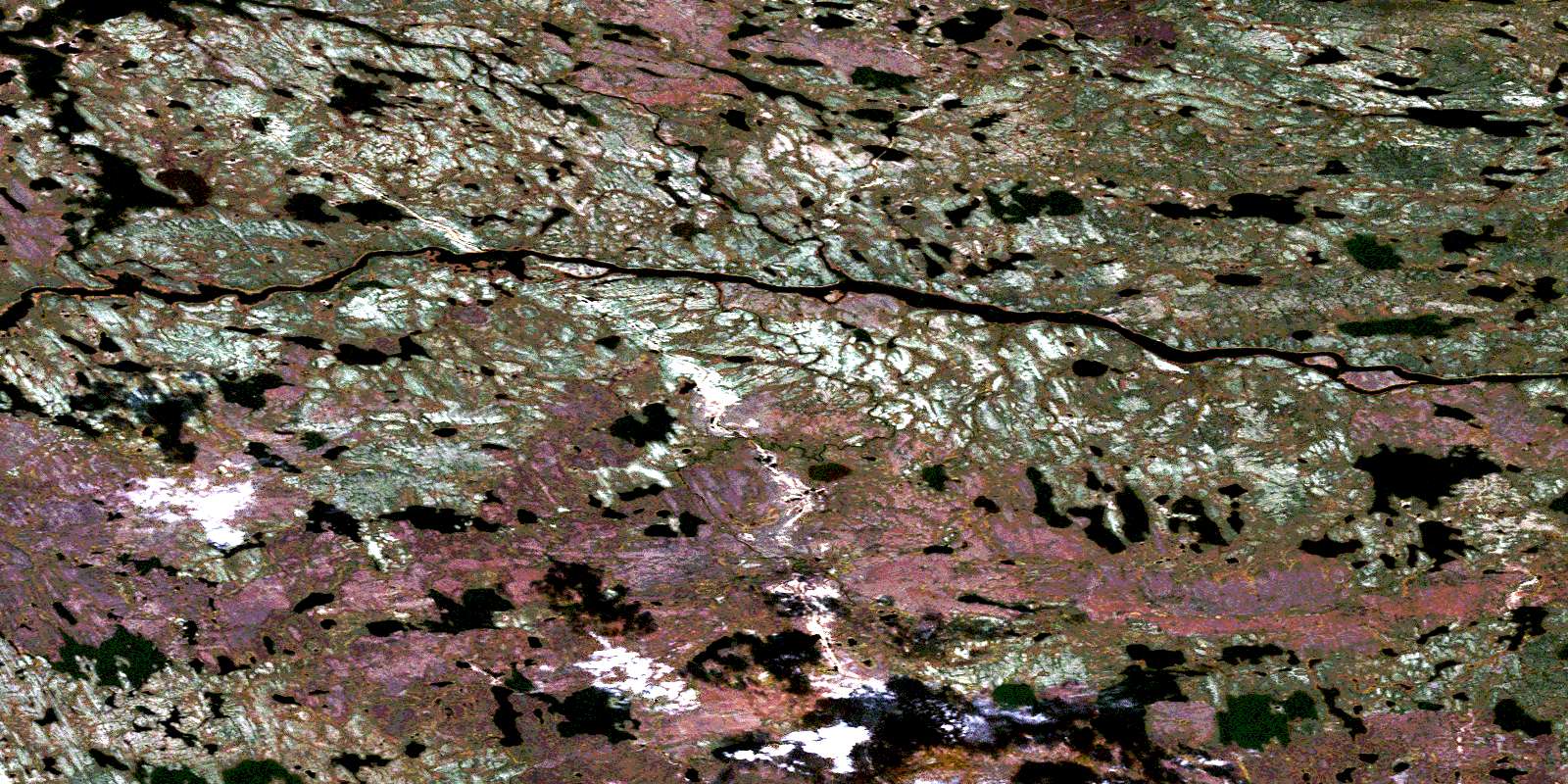
Steel River Satellite Imagery
To view this satellite map, mouse over the air photo on the right.
You can also download this satellite image map for free:
064I14 Steel River high-resolution satellite image map.
Maps for the Steel River aerial map sheet 064I14 at 1:50,000 scale are also available in these versions:
Steel River Surrounding Area Aerial Photo Maps
 |
 |
 |
 |
 |
 |
 |
 |
 |
 |
 |
 |
 |
 |
 |
 |
© Department of Natural Resources Canada. All rights reserved.
Steel River Gazetteer
The following places can be found on satellite image map 064I14 Steel River:
Steel River Satellite Image: Capes
Beech PointSteel River Satellite Image: Islands
Whittaker IslandSteel River Satellite Image: Lakes
Aitken LakeAlbert MacKay Lake
Albert Makay Lake
Aldridge Lake
Birch Canoe Lake
Bocking Lake
Donen Lake
Ferrier Lake
Goddard Lake
Ingram Lake
Lane Lake
Lobb Lake
Neff Lake
Passey Lake
Preece Lake
Shumsky Lake
Toshack Lake
Wozniak Lake
Yonkers Lake
Zayets Lake
Steel River Satellite Image: Mountains
Cameron HillSteel River Satellite Image: Rapids
Davidson RapidsFox Rapids
Harrison Rapids
Morrice Rapids
Russell Rapids
Steel River Satellite Image: Rivers
Seal RiverSteel River
Wolverine River
© Department of Natural Resources Canada. All rights reserved.
064I Related Maps:
064I Shethanei Lake064I01 Merriam Lake
064I02 Allan Lake
064I03 Blyth Lake
064I04 Ashley Lake
064I05 Legary Lake
064I06 Paragon Lake
064I07 Archer Creek
064I08 Nares Lake
064I09 Nichol Lake
064I10 Lovat Lake
064I11 Quinn Lake
064I12 Wasslen Lake
064I13 Dawes Lake
064I14 Steel River
064I15 Wither Lake
064I16 Meades Lake
