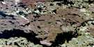
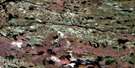
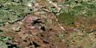
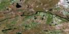
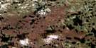
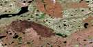
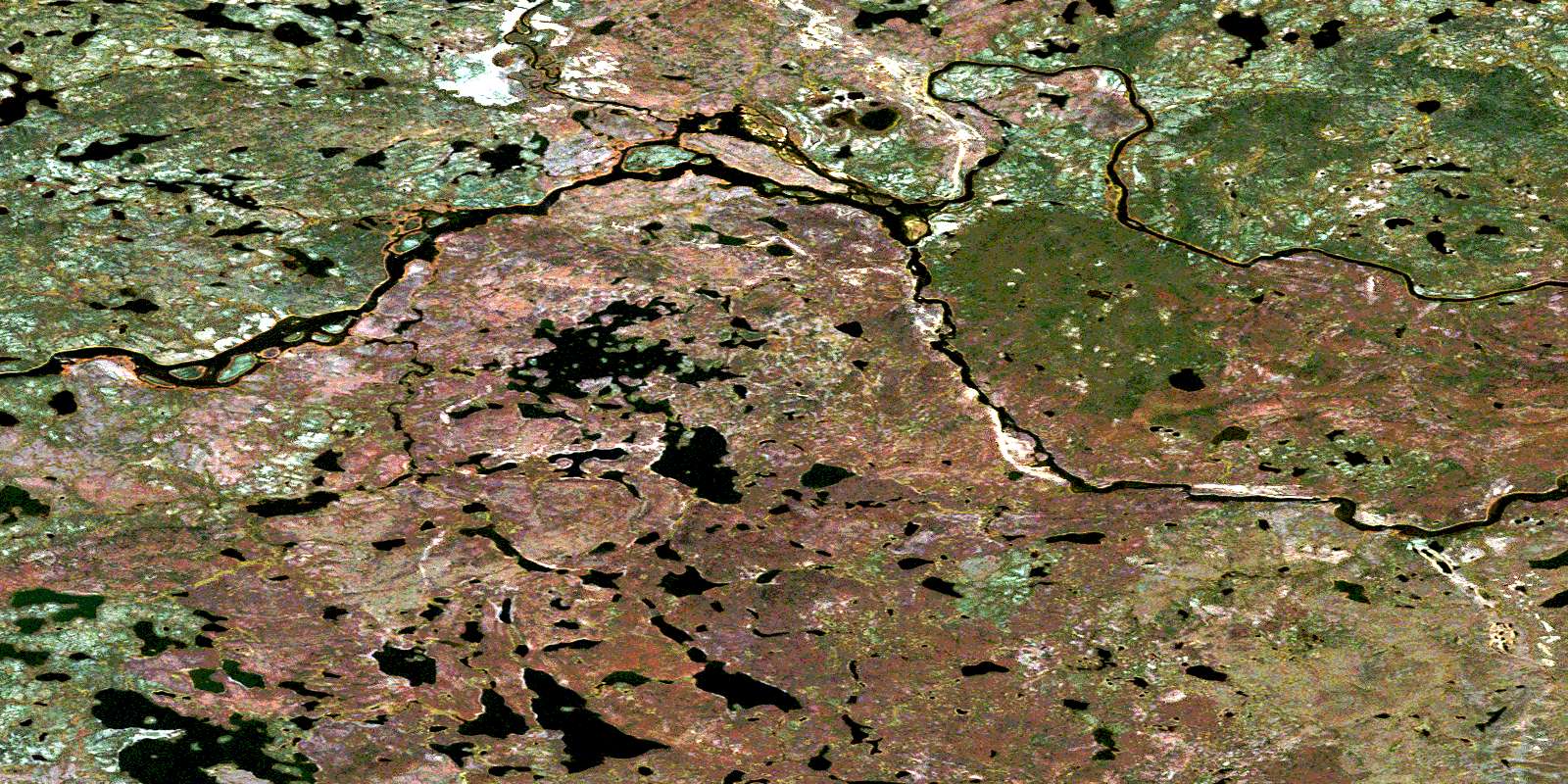
Wither Lake Satellite Image Map
Download Free Aerial Photo 064I15 at 1:50,000 scale
Wither Lake Satellite Imagery
To view this satellite map, mouse over the air photo on the right.
You can also download this satellite image map for free:
064I15 Wither Lake high-resolution satellite image map.
Maps for the Wither Lake aerial map sheet 064I15 at 1:50,000 scale are also available in these versions:
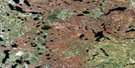
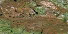
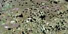
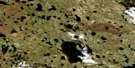
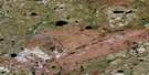
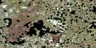
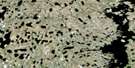
Wither Lake Surrounding Area Aerial Photo Maps
 |
 |
 |
 |
 |
 |
 |
 |
 |
 |
 |
 |
 |
 |
 |
 |
© Department of Natural Resources Canada. All rights reserved.
Wither Lake Gazetteer
The following places can be found on satellite image map 064I15 Wither Lake:
Wither Lake Satellite Image: Bays
McGowan BayWither Lake Satellite Image: Islands
Gilmour IslandGreat Island
Oliver Island
Rankine Island
St. Croix Island
Wither Lake Satellite Image: Lakes
Butt LakeDeslaurier Lake
Goddard Lake
Kuytoocho Lake
Lees Lake
Mallindine Lake
McEachnie Lake
Nicolson Lake
Osadchuk Lake
Preece Lake
Shanas Lake
Shanas Lake
Toupin Lake
Wither Lake
Wither Lake Satellite Image: Mountains
Harris HillHughes Hill
Miller Esker
Wither Lake Satellite Image: Rapids
Black RapidsGraham Rapids
MacDonald Rapids
Wither Lake Satellite Image: Rivers
Alexander CreekBig Spruce River
Lavallee Channel
Lyons Creek
Seal River
© Department of Natural Resources Canada. All rights reserved.
064I Related Maps:
064I Shethanei Lake064I01 Merriam Lake
064I02 Allan Lake
064I03 Blyth Lake
064I04 Ashley Lake
064I05 Legary Lake
064I06 Paragon Lake
064I07 Archer Creek
064I08 Nares Lake
064I09 Nichol Lake
064I10 Lovat Lake
064I11 Quinn Lake
064I12 Wasslen Lake
064I13 Dawes Lake
064I14 Steel River
064I15 Wither Lake
064I16 Meades Lake
