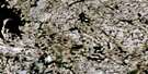
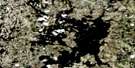
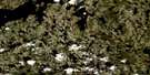
Vickery Lake Satellite Image Map
Download Free Aerial Photo 064P15 at 1:50,000 scale
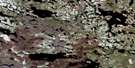
Vickery Lake Satellite Imagery
To view this satellite map, mouse over the air photo on the right.
You can also download this satellite image map for free:
064P15 Vickery Lake high-resolution satellite image map.
Maps for the Vickery Lake aerial map sheet 064P15 at 1:50,000 scale are also available in these versions:
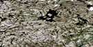
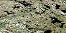
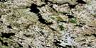
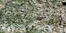
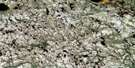
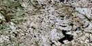
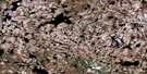
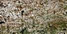
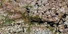
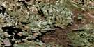
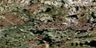
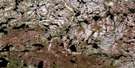
Vickery Lake Surrounding Area Aerial Photo Maps
 |
 |
 |
 |
 |
 |
 |
 |
 |
 |
 |
 |
 |
 |
 |
 |
© Department of Natural Resources Canada. All rights reserved.
Vickery Lake Gazetteer
The following places can be found on satellite image map 064P15 Vickery Lake:
Vickery Lake Satellite Image: Bays
Bain BayHodge Bay
Vickery Lake Satellite Image: Capes
Clark PeninsulaMcRae Point
Vickery Lake Satellite Image: Islands
Alfred Smith IslandEdmond Island
Solmundson Island
Wheeler Island
Vickery Lake Satellite Image: Lakes
Arksey LakeBaroni Lake
Coutts Lake
Falloon Lake
Gronbeck Lake
Haacke Lake
Loftson Lake
Milburn Lake
Negrich Lake
Pollon Lake
Rankmore Lake
Round Sand Lake
Savage Lake
Sellgren Lake
Tarzwell Lake
Thuygi Lake
Tymchuk Lake
Vickery Lake
Vickery Lake Satellite Image: Conservation areas
Caribou River Park ReserveVickery Lake Satellite Image: Provinces
ManitobaVickery Lake Satellite Image: Rapids
Brooks RapidsHunter Rapids
Peterson Rapids
Vickery Lake Satellite Image: Rivers
Cantin CreekCaribou River
Robinson River
Vickery Lake Satellite Image: Territory
Nunavut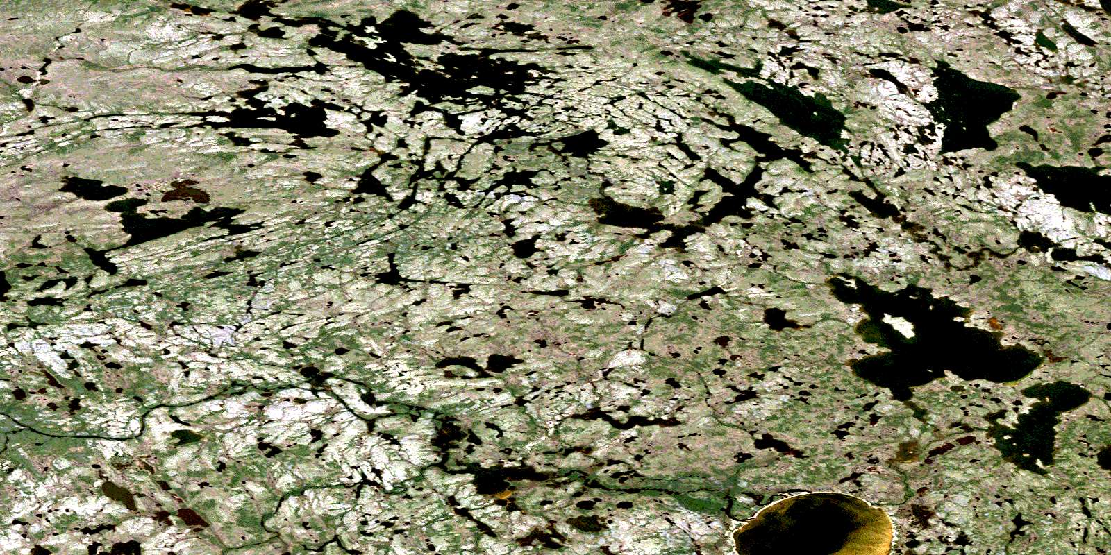
© Department of Natural Resources Canada. All rights reserved.
064P Related Maps:
064P Nejanilini Lake064P01 Hebner Lake
064P02 Kesselman Lake
064P03 Sellar Lake
064P04 Macleod Lake
064P05 Little Duck Lake
064P06 Fallis Lake
064P07 Wallbridge Lake
064P08 Caribou Lake
064P09 Kellas Lake
064P10 Adam Creek
064P11 Abbott Lake
064P12 Hollowrock Island
064P13 Wakefield Lake
064P14 Commonwealth Lake
064P15 Vickery Lake
064P16 Nabel Lake
