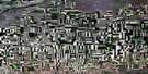
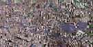
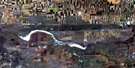
Fox Valley Satellite Image Map
Download Free Aerial Photo 072K06 at 1:50,000 scale
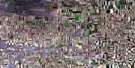
Fox Valley Satellite Imagery
To view this satellite map, mouse over the air photo on the right.
You can also download this satellite image map for free:
072K06 Fox Valley high-resolution satellite image map.
Maps for the Fox Valley aerial map sheet 072K06 at 1:50,000 scale are also available in these versions:
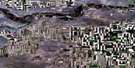
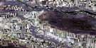
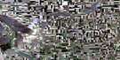
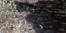
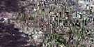
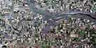
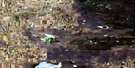
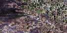
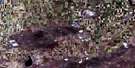
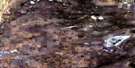
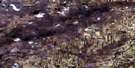
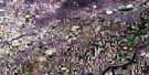
Fox Valley Surrounding Area Aerial Photo Maps
 |
 |
 |
 |
 |
 |
 |
 |
 |
 |
 |
 |
 |
 |
 |
 |
© Department of Natural Resources Canada. All rights reserved.
Fox Valley Gazetteer
The following places can be found on satellite image map 072K06 Fox Valley:
Fox Valley Satellite Image: Lakes
Bigstick LakeEngebrigt Lake
Freefight Lake
Ingebright Lake
Ingebrigt Lake
Martin Lake
Mason Lake
Fox Valley Satellite Image: Mountains
Great Sand HillsFox Valley Satellite Image: Other municipal/district area - miscellaneous
Fox Valley No. 171Piapot No. 110
Pittville No. 169
Fox Valley Satellite Image: Conservation areas
Prairie National Wildlife AreaRéserve nationale de faune des Prairies
Fox Valley Satellite Image: Villages
Fox Valley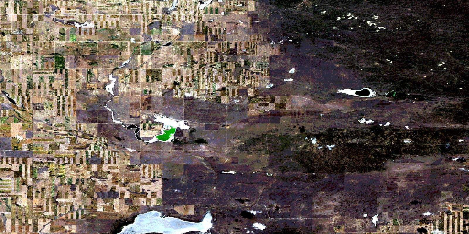
© Department of Natural Resources Canada. All rights reserved.
