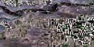
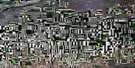
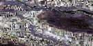
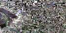
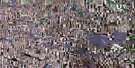
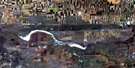
Cabri Satellite Image Map
Download Free Aerial Photo 072K09 at 1:50,000 scale
Cabri Satellite Imagery
To view this satellite map, mouse over the air photo on the right.
You can also download this satellite image map for free:
072K09 Cabri high-resolution satellite image map.
Maps for the Cabri aerial map sheet 072K09 at 1:50,000 scale are also available in these versions:
Cabri Surrounding Area Aerial Photo Maps
 |
 |
 |
 |
 |
 |
 |
 |
 |
 |
 |
 |
 |
 |
 |
 |
© Department of Natural Resources Canada. All rights reserved.
Cabri Gazetteer
The following places can be found on satellite image map 072K09 Cabri:
Cabri Satellite Image: Channels
The NarrowsCabri Satellite Image: Cliffs
The Missouri CoteauCabri Satellite Image: Lakes
Boggy LakeLake Diefenbaker
Snakehole Lake
Cabri Satellite Image: Mountains
Horse ButteRiver Butte
Cabri Satellite Image: Other municipal/district area - miscellaneous
Lacadena No. 228Miry Creek No. 229
Pittville No. 169
Riverside No. 168
Saskatchewan Landing No. 167
Cabri Satellite Image: Conservation areas
Cabri Regional ParkSaskatchewan Landing Provincial Park
Cabri Satellite Image: Rivers
Antelope CreekMiry Creek
Rivière Saskatchewan Sud
South Saskatchewan River
Teepee Creek
Thibodo Creek
Cabri Satellite Image: Towns
CabriCabri Satellite Image: Unincorporated areas
BattrumGrant
Pennant Station
Wickett
Cabri Satellite Image: Valleys
Brunyee CouleeJames Coulee
Laurie Coulee
Prime Coulee
Smart Coulee
Cabri Satellite Image: Villages
Pennant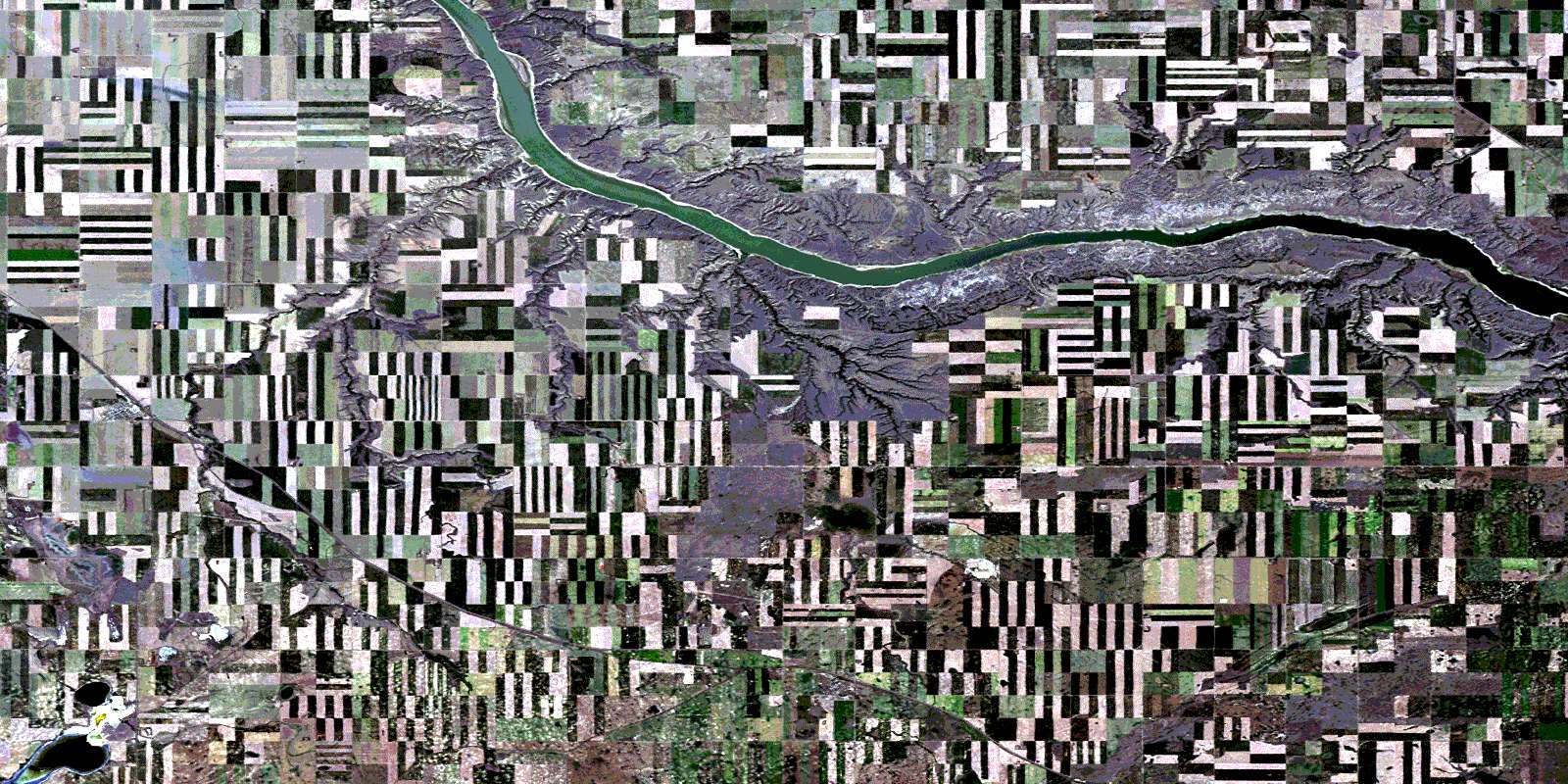
© Department of Natural Resources Canada. All rights reserved.
