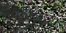
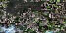
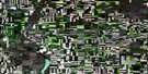
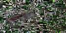
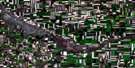
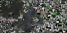
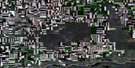
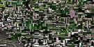
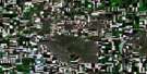
Kerrobert Satellite Image Map
Download Free Aerial Photo 072N14 at 1:50,000 scale
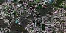
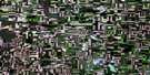
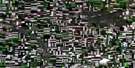
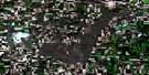
Kerrobert Satellite Imagery
To view this satellite map, mouse over the air photo on the right.
You can also download this satellite image map for free:
072N14 Kerrobert high-resolution satellite image map.
Maps for the Kerrobert aerial map sheet 072N14 at 1:50,000 scale are also available in these versions:
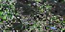
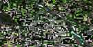
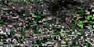
Kerrobert Surrounding Area Aerial Photo Maps
 |
 |
 |
 |
 |
 |
 |
 |
 |
 |
 |
 |
 |
 |
 |
 |
© Department of Natural Resources Canada. All rights reserved.
Kerrobert Gazetteer
The following places can be found on satellite image map 072N14 Kerrobert:
Kerrobert Satellite Image: Lakes
Beaufield LakeCrookshanks Lake
Elemer Lake
Ethmuir Lake
Herrick Low Lake
Pedersen Lake
Ruby Lake
Shallow Lake
Street Lake
White Heron Lake
Zella Lake
Zella Lakes
Kerrobert Satellite Image: Other municipal/district area - miscellaneous
Mariposa No. 350Oakdale No. 320
Prairiedale No. 321
Progress No. 351
Kerrobert Satellite Image: Conservation areas
Mariposa Wildlife Management UnitProgress Wildlife Management Unit
Kerrobert Satellite Image: Towns
KerrobertKerrobert Satellite Image: Unincorporated areas
BeaufieldErmine
Onward
Rural
Superb
Verulam
Kerrobert Satellite Image: Valleys
Buffalo Coulée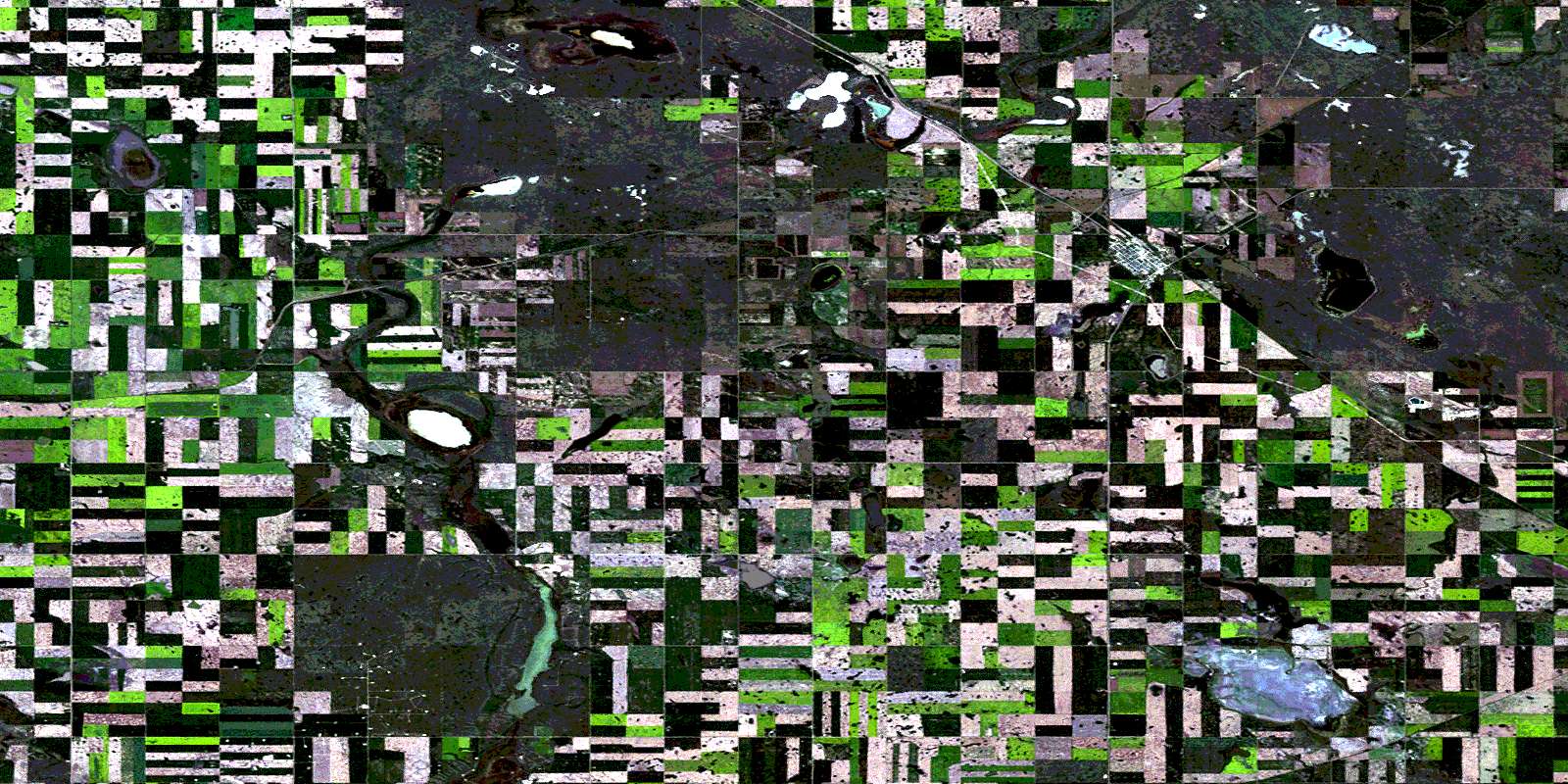
© Department of Natural Resources Canada. All rights reserved.
