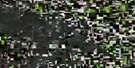
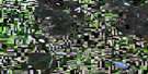
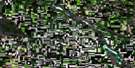
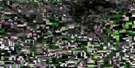
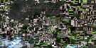
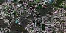
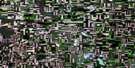
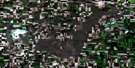
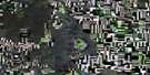
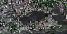
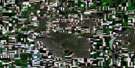
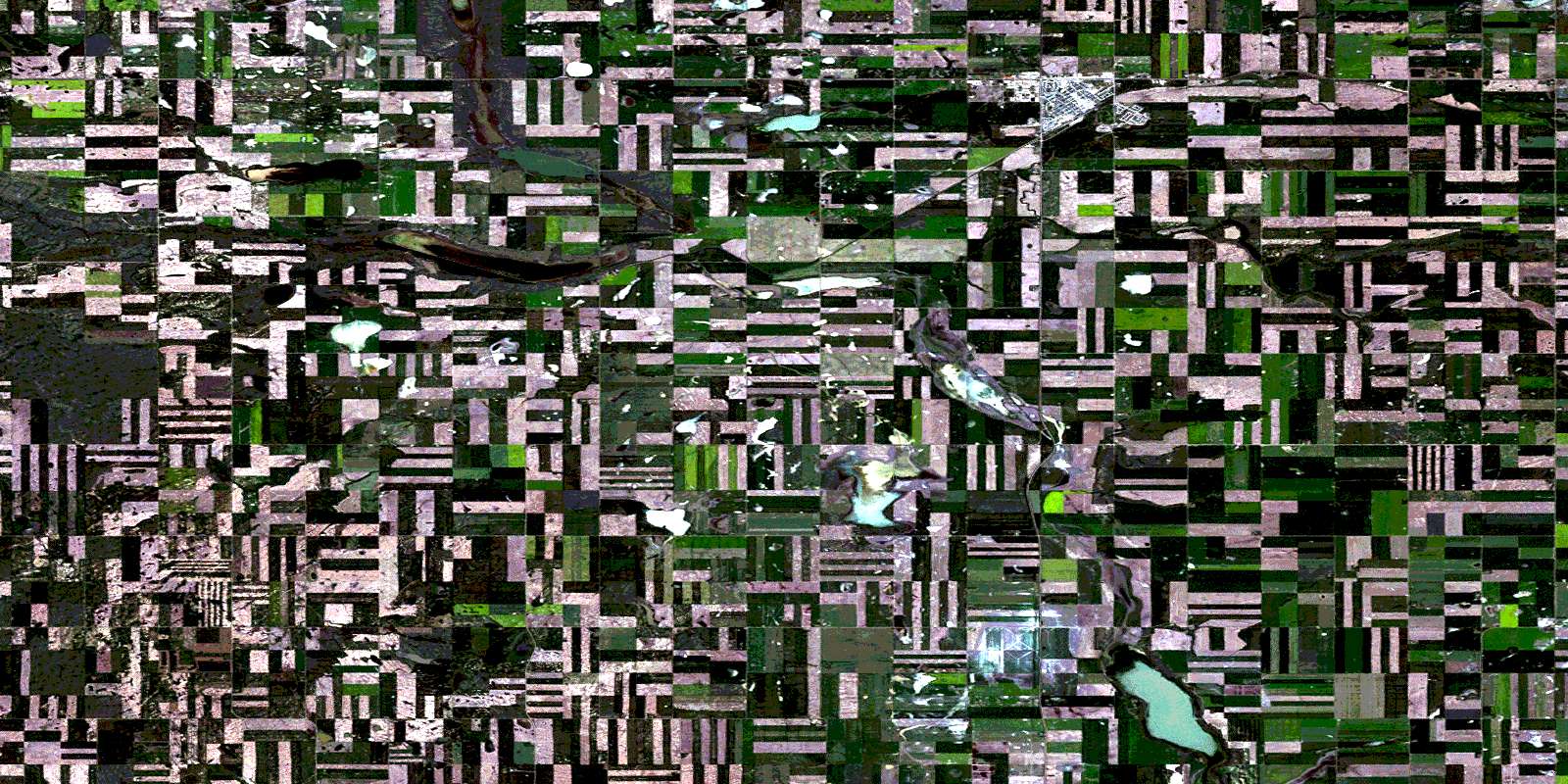
Kindersley Satellite Image Map
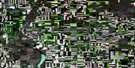
Download Free Aerial Photo 072N06 at 1:50,000 scale
Kindersley Satellite Imagery
To view this satellite map, mouse over the air photo on the right.
You can also download this satellite image map for free:
072N06 Kindersley high-resolution satellite image map.
Maps for the Kindersley aerial map sheet 072N06 at 1:50,000 scale are also available in these versions:
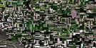
Kindersley Surrounding Area Aerial Photo Maps
 |
 |
 |
 |
 |
 |
 |
 |
 |
 |
 |
 |
 |
 |
 |
 |
© Department of Natural Resources Canada. All rights reserved.
Kindersley Gazetteer
The following places can be found on satellite image map 072N06 Kindersley:
Kindersley Satellite Image: Lakes
Cutbank LakeKindersley Lake
Motherwell Reservoir
Teo Lakes
Kindersley Satellite Image: Other municipal/district area - miscellaneous
Chesterfield No. 261Kindersley No. 290
Newcombe No. 260
Kindersley Satellite Image: Conservation areas
Kindersley Regional ParkKindersley Satellite Image: Rivers
Kindersley CreekVerendrye Creek
Kindersley Satellite Image: Springs
Howard SpringKindersley Satellite Image: Towns
KindersleyKindersley Satellite Image: Unincorporated areas
BeadleFairmount
Inglenook
Pinkham
Sandgren
Verendrye
Kindersley Satellite Image: Valleys
Howard CouleeMotherwell Coulee
Kindersley Satellite Image: Low vegetation
Fairmount MarshVerendrye Marsh
© Department of Natural Resources Canada. All rights reserved.
