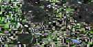
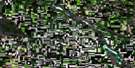
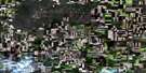
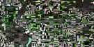
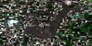
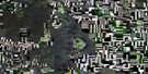
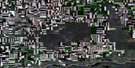
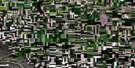
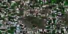
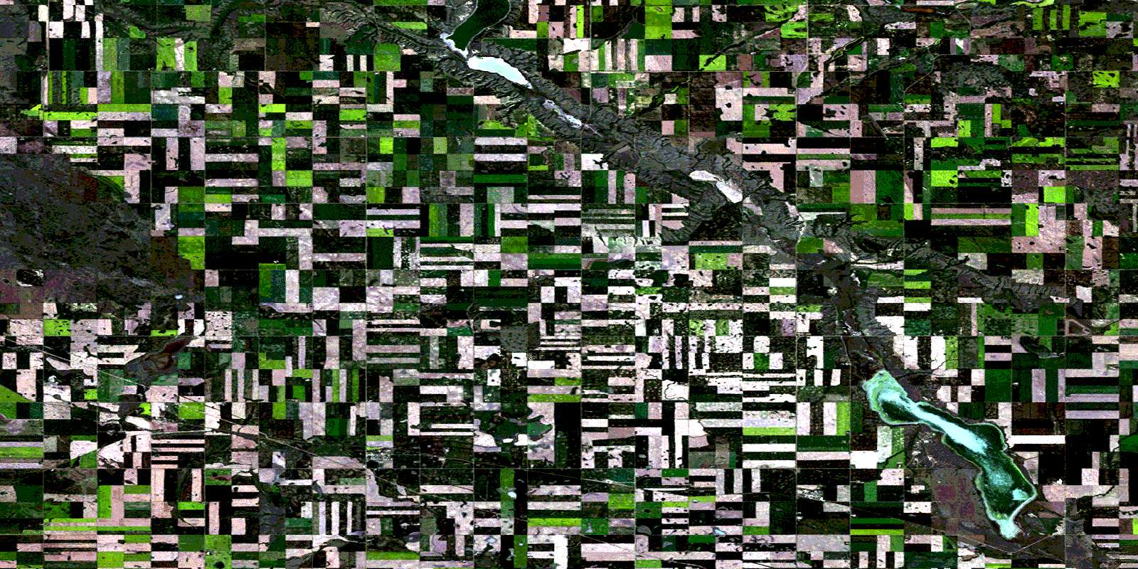
Dodsland Satellite Image Map
Download Free Aerial Photo 072N15 at 1:50,000 scale
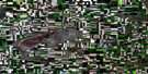
Dodsland Satellite Imagery
To view this satellite map, mouse over the air photo on the right.
You can also download this satellite image map for free:
072N15 Dodsland high-resolution satellite image map.
Maps for the Dodsland aerial map sheet 072N15 at 1:50,000 scale are also available in these versions:
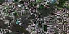
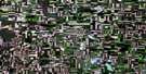
Dodsland Surrounding Area Aerial Photo Maps
 |
 |
 |
 |
 |
 |
 |
 |
 |
 |
 |
 |
 |
 |
 |
 |
© Department of Natural Resources Canada. All rights reserved.
Dodsland Gazetteer
The following places can be found on satellite image map 072N15 Dodsland:
Dodsland Satellite Image: Cliffs
The CoteauDodsland Satellite Image: Lakes
Opuntia LakeTramping Lake
Dodsland Satellite Image: Other municipal/district area - miscellaneous
Grandview No. 349Mariposa No. 350
Mountain View No. 318
Oakdale No. 320
Winslow No. 319
Dodsland Satellite Image: Conservation areas
Opuntia Lake Bird SanctuaryRefuge d'oiseaux du lac Opuntia
Tramping Lake Regional Park
Dodsland Satellite Image: Rivers
Eagle CreekDodsland Satellite Image: Unincorporated areas
AdineAstum
Ava
Downe
Druid
Hood
Kelfield
Millerdale
Wallisville
Whitepool
Dodsland Satellite Image: Villages
DodslandPlenty
Tramping Lake
© Department of Natural Resources Canada. All rights reserved.
