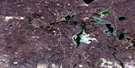
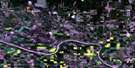
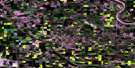
Bronson Lake Satellite Image Map
Download Free Aerial Photo 073F13 at 1:50,000 scale
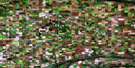
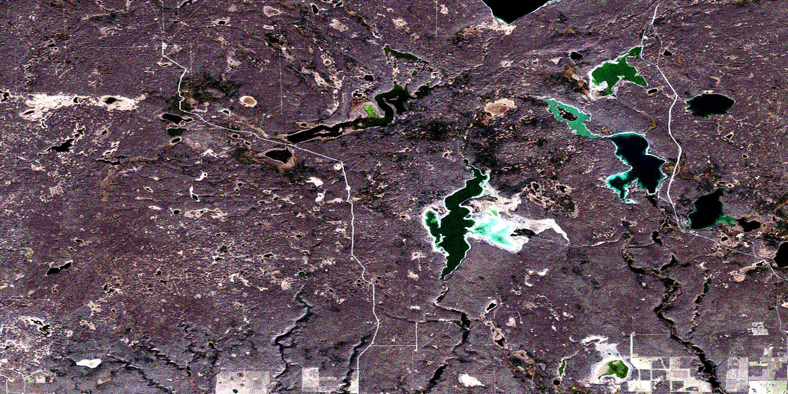
Bronson Lake Satellite Imagery
To view this satellite map, mouse over the air photo on the right.
You can also download this satellite image map for free:
073F13 Bronson Lake high-resolution satellite image map.
Maps for the Bronson Lake aerial map sheet 073F13 at 1:50,000 scale are also available in these versions:
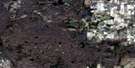
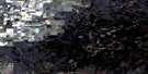
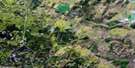
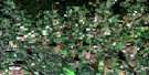
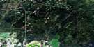
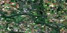
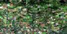
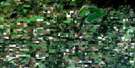
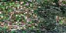
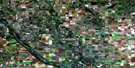
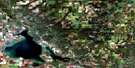
Bronson Lake Surrounding Area Aerial Photo Maps
 |
 |
 |
 |
 |
 |
 |
 |
 |
 |
 |
 |
 |
 |
 |
 |
© Department of Natural Resources Canada. All rights reserved.
Bronson Lake Gazetteer
The following places can be found on satellite image map 073F13 Bronson Lake:
Bronson Lake Satellite Image: Hamlets
Little Fishing LakeBronson Lake Satellite Image: Indian Reserves
Onion Lake 119-1Seekaskootch 119
Bronson Lake Satellite Image: Lakes
Bronson LakeCache Lake
Galletly Lake
Hewett Lake
Little Fishing Lake
Meridian Lake
Ministikwan Lake
Monnery Lake
Peck Lake
Round Lake
Sidney Lake
Spitser Lake
Worthington Lake
Bronson Lake Satellite Image: Mountains
Lookout HillBronson Lake Satellite Image: Other municipal/district area - miscellaneous
Frenchman Butte No. 501Loon Lake No. 561
Bronson Lake Satellite Image: Conservation areas
Bronson Forest Recreation SiteNorthern Provincial Forest
Bronson Lake Satellite Image: Rivers
Monnery RiverPipestone Creek
© Department of Natural Resources Canada. All rights reserved.
073F Related Maps:
073F St Walburg073F01 Jackfish Lake
073F02 Edam
073F03 Maidstone
073F04 Lashburn
073F05 Greenstreet
073F06 Cleeves
073F07 Turtleford
073F08 Medstead
073F09 Helene Lake
073F10 Brightsand Lake
073F11 St Walburg
073F12 Frenchman Butte
073F13 Bronson Lake
073F14 Barthel
073F15 Horsehead Creek
073F16 Hunting Lake
