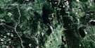
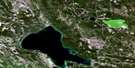
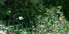
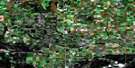
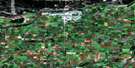
Peonan Lake Satellite Image Map
Download Free Aerial Photo 073H03 at 1:50,000 scale
Peonan Lake Satellite Imagery
To view this satellite map, mouse over the air photo on the right.
You can also download this satellite image map for free:
073H03 Peonan Lake high-resolution satellite image map.
Maps for the Peonan Lake aerial map sheet 073H03 at 1:50,000 scale are also available in these versions:
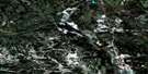
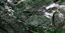
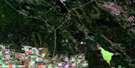
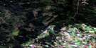
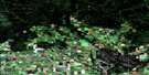
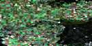
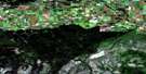
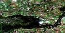
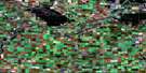
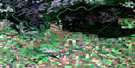
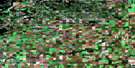
Peonan Lake Surrounding Area Aerial Photo Maps
 |
 |
 |
 |
 |
 |
 |
 |
 |
 |
 |
 |
 |
 |
 |
 |
© Department of Natural Resources Canada. All rights reserved.
Peonan Lake Gazetteer
The following places can be found on satellite image map 073H03 Peonan Lake:
Peonan Lake Satellite Image: Hamlets
BrancepethPeonan Lake Satellite Image: Indian Reserves
Muskoday First NationMuskoday Indian Reserve 99
Réserve indienne Muskoday 99
Peonan Lake Satellite Image: Islands
Crossing IslandPeonan Lake Satellite Image: Lakes
Peonan LakeSpider Lake
Peonan Lake Satellite Image: Other municipal/district area - miscellaneous
Birch Hills No. 460Garden River No. 490
Kinistino No. 459
Prince Albert No. 461
Torch River No. 488
Peonan Lake Satellite Image: Conservation areas
Fort à la Corne Provincial ForestNisbet Provincial Forest
Saskatchewan River Forks Recreation Site
Peonan Lake Satellite Image: Rivers
Cromarty CreekGarden River
Lars Creek
North Saskatchewan River
Peonan Creek
Red Deer Creek
Rivière Saskatchewan
Rivière Saskatchewan Nord
Rivière Saskatchewan Sud
Saskatchewan River
South Saskatchewan River
Peonan Lake Satellite Image: Unincorporated areas
BirsonCecil
Claytonville
Coxby
Fanford
Fir Ridge
Fisher
Glen Mary
Gwendoline
Iranistan
Kyle
Lake Park
Neshem
New England
Pahonan
South Valley
Stanleyville
Steep Creek
Winton
Peonan Lake Satellite Image: Villages
Weldon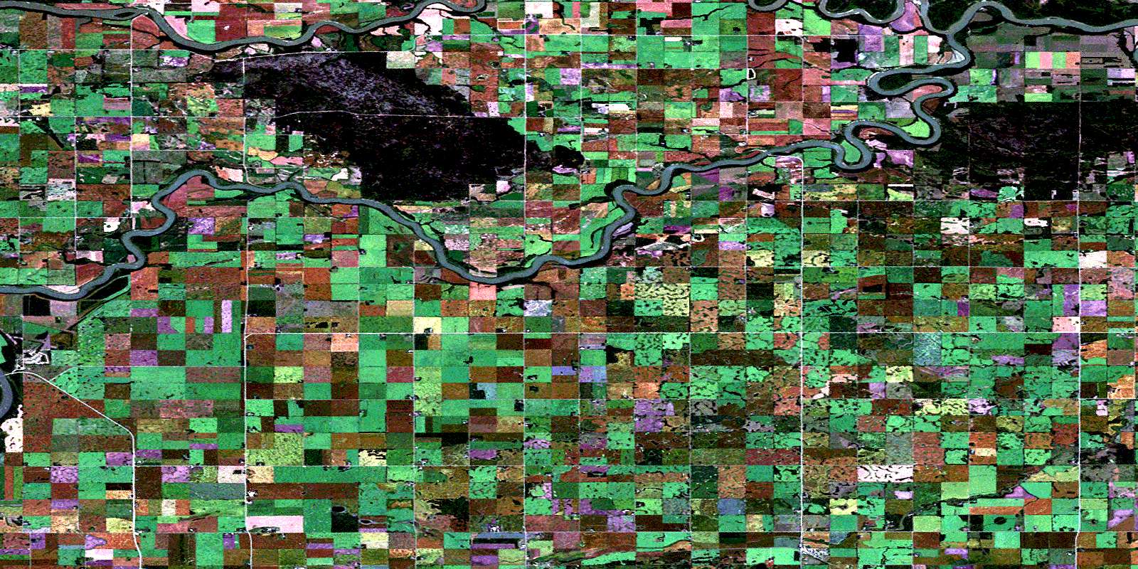
© Department of Natural Resources Canada. All rights reserved.
073H Related Maps:
073H Prince Albert073H01 Ridgedale
073H02 Fairy Glen
073H03 Peonan Lake
073H04 Prince Albert
073H05 Henribourg
073H06 Weirdale
073H07 Smeaton
073H08 Nipawin
073H09 Torch River
073H10 Bedard Creek
073H11 Birchbark Lake
073H12 Emma Lake
073H13 Bittern Lake
073H14 Candle Lake
073H15 White Gull Creek
073H16 Falling Horse Creek
