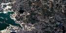
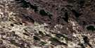
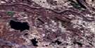
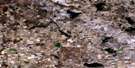
Medley River Satellite Image Map
Download Free Aerial Photo 073L16 at 1:50,000 scale
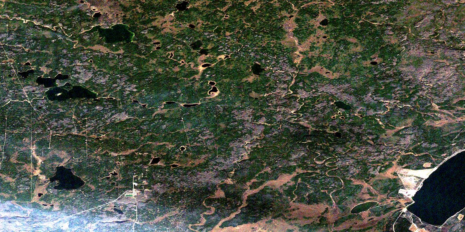
Medley River Satellite Imagery
To view this satellite map, mouse over the air photo on the right.
You can also download this satellite image map for free:
073L16 Medley River high-resolution satellite image map.
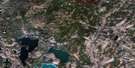
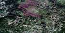
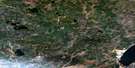
Maps for the Medley River aerial map sheet 073L16 at 1:50,000 scale are also available in these versions:
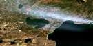
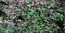
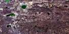
Medley River Surrounding Area Aerial Photo Maps
 |
 |
 |
 |
 |
 |
 |
 |
 |
 |
 |
 |
 |
 |
 |
 |
© Department of Natural Resources Canada. All rights reserved.
Medley River Gazetteer
The following places can be found on satellite image map 073L16 Medley River:
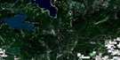
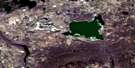
Medley River Satellite Image: Lakes
Burnt LakeCalder Lake
Canoe Lake
Hansen Lake
Loseman Lake
Primrose Lake
Primrose Lake
Stouffers Lake
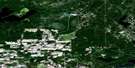
Medley River Satellite Image: Major municipal/district area - major agglomerations
Lakeland CountyMunicipal District of Bonnyville No. 87
Municipal District of Bonnyville No. 87
Medley River Satellite Image: Other municipal/district area - miscellaneous
Improvement District of Little Divide No. 18 SouthMedley River Satellite Image: Provinces
AlbertaMedley River Satellite Image: Rivers
Calder RiverMarie Creek
Medley River
Shaver River
Shaver River
Wolf River
© Department of Natural Resources Canada. All rights reserved.
073L Related Maps:
073L Sand River073L01 Reita Lake
073L02 Muriel Lake
073L03 Vincent Lake
073L04 Cache Lake
073L05 Goodfish Lake
073L06 Goodridge
073L07 Bonnyville
073L08 Cold Lake
073L09 Marie Lake
073L10 Marguerite Lake
073L11 Pinehurst Lake
073L12 Beaver Lake
073L13 Lac La Biche
073L14 Touchwood Lake
073L15 Wolf River
073L16 Medley River
