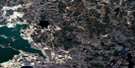
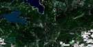
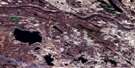
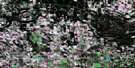
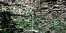
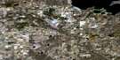
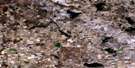
Vincent Lake Satellite Image Map
Download Free Aerial Photo 073L03 at 1:50,000 scale
Vincent Lake Satellite Imagery
To view this satellite map, mouse over the air photo on the right.
You can also download this satellite image map for free:
073L03 Vincent Lake high-resolution satellite image map.
Maps for the Vincent Lake aerial map sheet 073L03 at 1:50,000 scale are also available in these versions:
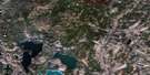
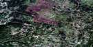
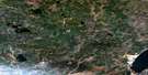
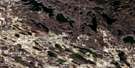
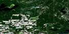
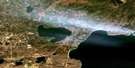
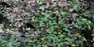
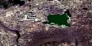
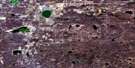
Vincent Lake Surrounding Area Aerial Photo Maps
 |
 |
 |
 |
 |
 |
 |
 |
 |
 |
 |
 |
 |
 |
 |
 |
© Department of Natural Resources Canada. All rights reserved.
Vincent Lake Gazetteer
The following places can be found on satellite image map 073L03 Vincent Lake:
Vincent Lake Satellite Image: Lakes
Allday LakeBangs Lake
Bentley Lake
Boucan Lake
Breland Lake
Cardinal Lake
Chickenhill Lake
Denning Lake
Drysdale Lake
Felix Lake
Flat Lake
Grassy Island Lake
Hornpile Lake
Julien Lake
Lower Mann Lake
Montagnais Lake
Moose Lake
Owlseye Lake
Snail Lake
Thin Lake
Upper Mann Lake
Vincent Lake
Whiskyjack Lake
Worry Lake
Vincent Lake Satellite Image: Mountains
Moose HillsVincent Lake Satellite Image: Major municipal/district area - major agglomerations
County of St. Paul No. 19Municipal District of Bonnyville No. 87
Vincent Lake Satellite Image: Conservation areas
Blue Quills National Wildlife AreaRéserve nationale de faune de Blue Quills
Vincent Lake Satellite Image: Rivers
Atimoswe CreekColumbine Creek
Dog Rump Creek
Kehiwin Creek
Thinlake River
Yelling Creek
Vincent Lake Satellite Image: Unincorporated areas
AbileneBeacon Corner
Boscombe
Flat Lake
Mallaig
Owlseye
Owlseye Lake
Rife
St. Vincent
Therien
Vincent Lake Satellite Image: Villages
GlendonHorseshoe Bay

© Department of Natural Resources Canada. All rights reserved.
073L Related Maps:
073L Sand River073L01 Reita Lake
073L02 Muriel Lake
073L03 Vincent Lake
073L04 Cache Lake
073L05 Goodfish Lake
073L06 Goodridge
073L07 Bonnyville
073L08 Cold Lake
073L09 Marie Lake
073L10 Marguerite Lake
073L11 Pinehurst Lake
073L12 Beaver Lake
073L13 Lac La Biche
073L14 Touchwood Lake
073L15 Wolf River
073L16 Medley River
