
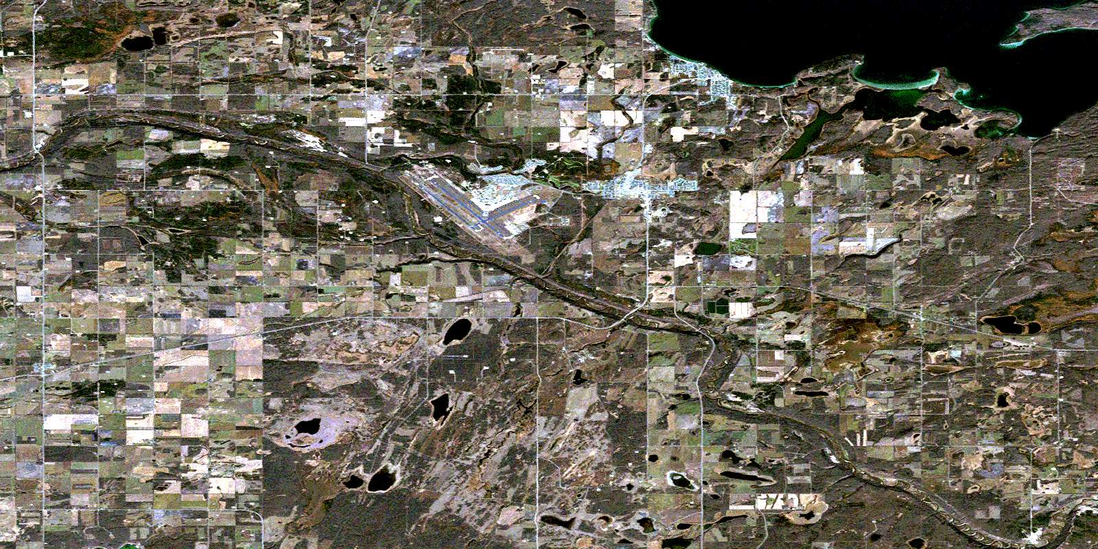
Cold Lake Satellite Image Map
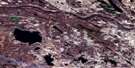
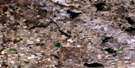
Download Free Aerial Photo 073L08 at 1:50,000 scale
Cold Lake Satellite Imagery
To view this satellite map, mouse over the air photo on the right.
You can also download this satellite image map for free:
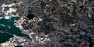
073L08 Cold Lake high-resolution satellite image map.
Maps for the Cold Lake aerial map sheet 073L08 at 1:50,000 scale are also available in these versions:
Cold Lake Surrounding Area Aerial Photo Maps
 |
 |
 |
 |
 |
 |
 |
 |
 |
 |
 |
 |
 |
 |
 |
 |
© Department of Natural Resources Canada. All rights reserved.
Cold Lake Gazetteer
The following places can be found on satellite image map 073L08 Cold Lake:
Cold Lake Satellite Image: City
Cold LakeCold Lake Satellite Image: Indian Reserves
Cold Lake 149Cold Lake 149A
Cold Lake 149B
Cold Lake Satellite Image: Lakes
African LakeCold Lake
Cold Lake
Ernestina Lake
Fontaine Lake
Maloney Lake
Marie Lake
Willow Lake
Cold Lake Satellite Image: Military areas
Base des Forces canadiennes Cold LakeCanadian Forces Base Cold Lake
Cold Lake Satellite Image: Major municipal/district area - major agglomerations
Municipal District of Bonnyville No. 87Municipal District of Bonnyville No. 87
Municipal District of Bonnyville No. 87
Cold Lake Satellite Image: Conservation areas
Cold Lake Provincial ParkMeadow Lake Provincial Park
Cold Lake Satellite Image: Provinces
AlbertaCold Lake Satellite Image: Rivers
Beaver RiverBeaver River
Marie Creek
Muriel Creek
Redspring Creek
Reita Creek
Cold Lake Satellite Image: Towns
Grand CentreCold Lake Satellite Image: Unincorporated areas
ArdmoreBeaver Crossing
Beaver River
Cherry Grove
Ethel Lake
Le Goff
Medley
Rat Lake
Rivière Castor
Smith Lake
© Department of Natural Resources Canada. All rights reserved.
073L Related Maps:
073L Sand River073L01 Reita Lake
073L02 Muriel Lake
073L03 Vincent Lake
073L04 Cache Lake
073L05 Goodfish Lake
073L06 Goodridge
073L07 Bonnyville
073L08 Cold Lake
073L09 Marie Lake
073L10 Marguerite Lake
073L11 Pinehurst Lake
073L12 Beaver Lake
073L13 Lac La Biche
073L14 Touchwood Lake
073L15 Wolf River
073L16 Medley River
 Newsletter Sign-up


