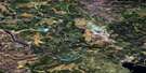
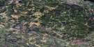
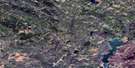
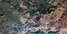
Kazan Lake Satellite Image Map
Download Free Aerial Photo 073N09 at 1:50,000 scale
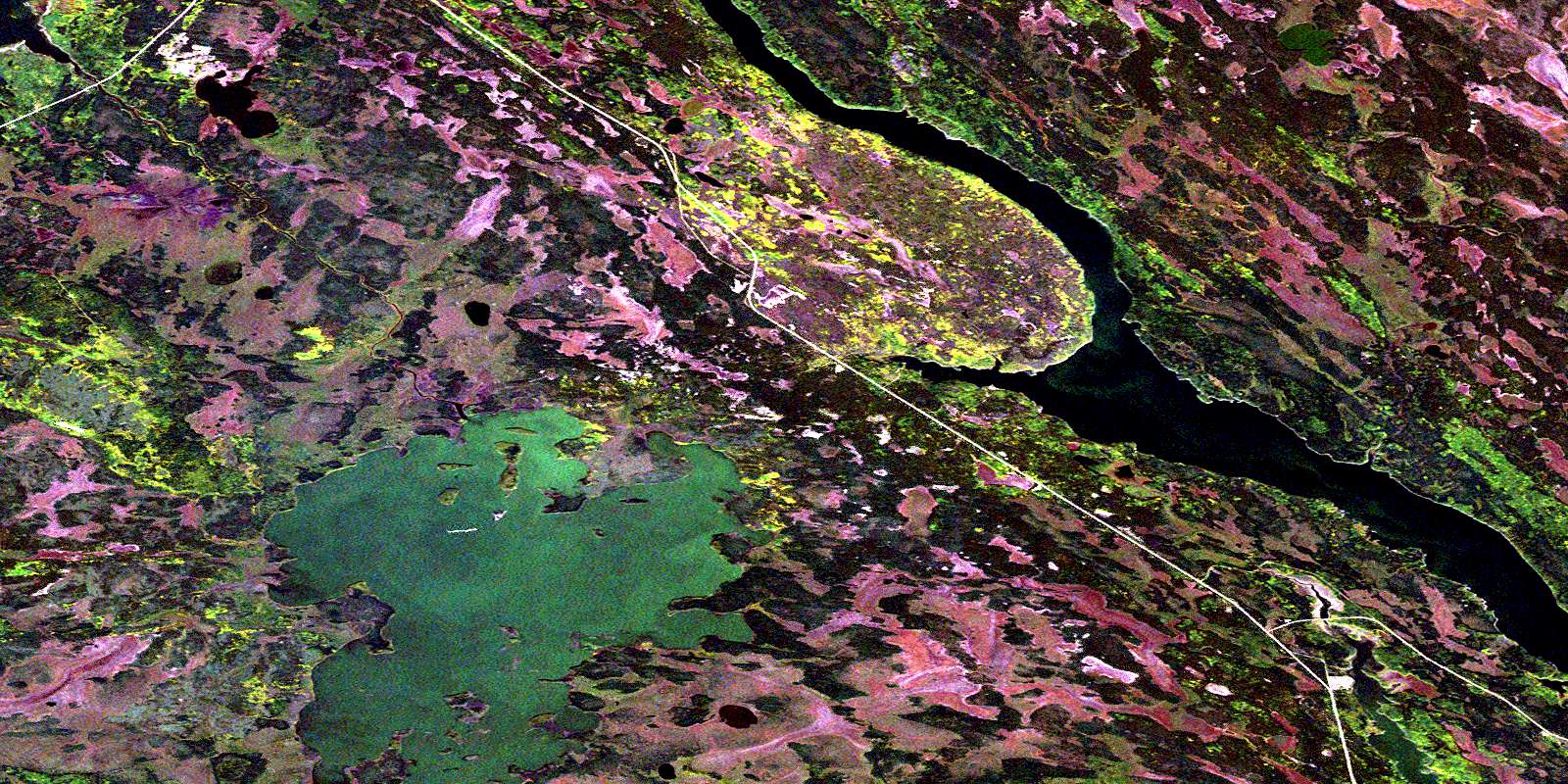
Kazan Lake Satellite Imagery
To view this satellite map, mouse over the air photo on the right.
You can also download this satellite image map for free:
073N09 Kazan Lake high-resolution satellite image map.
Maps for the Kazan Lake aerial map sheet 073N09 at 1:50,000 scale are also available in these versions:
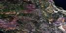
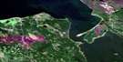
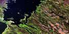
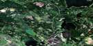
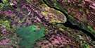
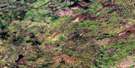
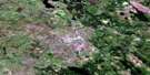
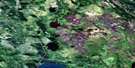
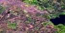
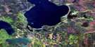
Kazan Lake Surrounding Area Aerial Photo Maps
 |
 |
 |
 |
 |
 |
 |
 |
 |
 |
 |
 |
 |
 |
 |
 |
© Department of Natural Resources Canada. All rights reserved.
Kazan Lake Gazetteer
The following places can be found on satellite image map 073N09 Kazan Lake:
Kazan Lake Satellite Image: Bays
Aubichon ArmHornoi Bay
Kazan Bay
Reid Bay
Rosser Bay
Shaw Bay
Walton Bay
Watchusk Bay
Yates Bay
Kazan Lake Satellite Image: Capes
Stanley PointKazan Lake Satellite Image: Channels
MacBeth ChannelKazan Lake Satellite Image: Islands
Gatehouse IslandNichol Island
Sharp Island
Kazan Lake Satellite Image: Lakes
Bugg LakeKazan Lake
Lac Île-à-la-Crosse
McMahon Lake
Merk Lake
Peter Pond Lake
Purdy Lake
Kazan Lake Satellite Image: Conservation areas
Gatehouse Island Wildlife RefugeKazan Lake Satellite Image: Rivers
Churchill RiverKazan River
Rivière Churchill
© Department of Natural Resources Canada. All rights reserved.
073N Related Maps:
073N Buffalo Narrows073N01 Canoe Lake
073N02 Juggins Creek
073N03 Carlton Lake
073N04 Calder River
073N05 Watapi Lake
073N06 Nipin Lake
073N07 Mccusker Lake
073N08 Apps Lake
073N09 Kazan Lake
073N10 Niska Lake
073N11 Vermette Lake
073N12 Mcalister Lake
073N13 Graham Lake
073N14 Michel Village
073N15 Dillon
073N16 Buffalo Narrows
