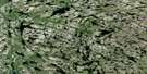
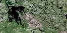
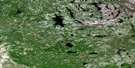
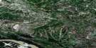
Soulier Lake Satellite Image Map
Download Free Aerial Photo 075D09 at 1:50,000 scale
Soulier Lake Satellite Imagery
To view this satellite map, mouse over the air photo on the right.
You can also download this satellite image map for free:
075D09 Soulier Lake high-resolution satellite image map.
Maps for the Soulier Lake aerial map sheet 075D09 at 1:50,000 scale are also available in these versions:
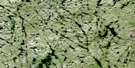
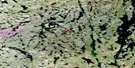
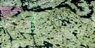
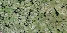
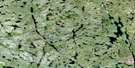
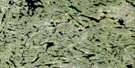
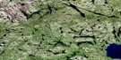
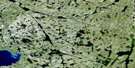
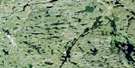
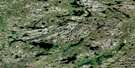
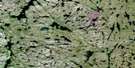
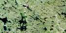
Soulier Lake Surrounding Area Aerial Photo Maps
 |
 |
 |
 |
 |
 |
 |
 |
 |
 |
 |
 |
 |
 |
 |
 |
© Department of Natural Resources Canada. All rights reserved.
Soulier Lake Gazetteer
The following places can be found on satellite image map 075D09 Soulier Lake:
Soulier Lake Satellite Image: Bays
Natael BaySoulier Lake Satellite Image: Lakes
Hill Island LakeSoulier Lake
Yatsore Lake
Soulier Lake Satellite Image: Rapids
Kolethe RapidsSoulier Lake Satellite Image: Rivers
Hill Island RiverTaltson River
Tazin River
Thekulthili River
Soulier Lake Satellite Image: Road features
Burnt Portage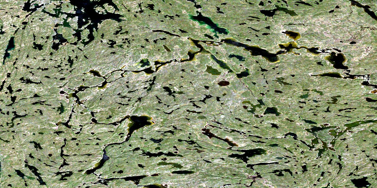
© Department of Natural Resources Canada. All rights reserved.
075D Related Maps:
075D Fort Smith075D01 Largepike Lake
075D02 Hanging Ice Lake
075D03 Schaefer Lakes
075D04 Fort Smith
075D05 Mistigi Lake
075D06 Methleka Lake
075D07 Star Lake
075D08 Bedodid Lake
075D09 Soulier Lake
075D10 Benna Thy Lake
075D11 Champagne Lakes
075D12 Tsu Lake
075D13 Tortuous Lake
075D14 Fork Lake
075D15 Lady Grey Lake
075D16 Bigpine Narrows
