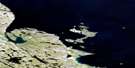
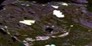
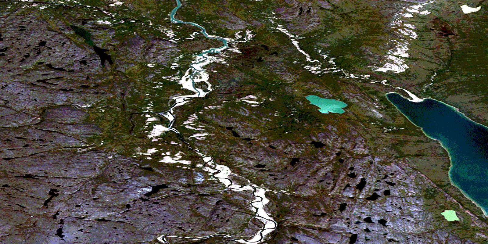
Wilberforce Falls Satellite Image Map
Download Free Aerial Photo 076N02 at 1:50,000 scale
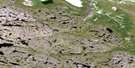
Wilberforce Falls Satellite Imagery
To view this satellite map, mouse over the air photo on the right.
You can also download this satellite image map for free:
076N02 Wilberforce Falls high-resolution satellite image map.
Maps for the Wilberforce Falls aerial map sheet 076N02 at 1:50,000 scale are also available in these versions:
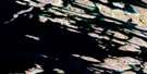
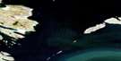
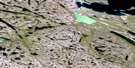
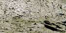
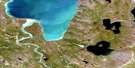
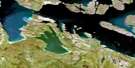
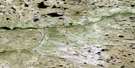
Wilberforce Falls Surrounding Area Aerial Photo Maps
 |
 |
 |
 |
 |
 |
 |
 |
 |
 |
 |
 |
 |
 |
 |
 |
© Department of Natural Resources Canada. All rights reserved.
Wilberforce Falls Gazetteer
The following places can be found on satellite image map 076N02 Wilberforce Falls:
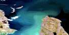
Wilberforce Falls Satellite Image: Bays
Bathurst InletPortage Bay
Wilberforce Falls Satellite Image: Capes
Banks PeninsulaWilberforce Falls Satellite Image: Falls
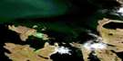
Wilberforce FallsWilberforce Falls Satellite Image: Mountains
Wilberforce HillsWilberforce Falls Satellite Image: Rivers
Hood RiverJames River
© Department of Natural Resources Canada. All rights reserved.
076N Related Maps:
076N Arctic Sound076N01 Portage Bay
076N02 Wilberforce Falls
076N03 No Title
076N04 No Title
076N05 Torp Lake
076N06 No Title
076N07 Baillie Bay
076N08 Goulburn Lake
076N09 Iglorua Island
076N10 Wollaston Point
076N11 Kater Point
076N12 No Title
076N13 Galena Island
076N14 Marcet Island
076N15 No Title
076N16 Fishers Island
