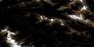
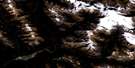
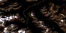
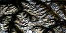
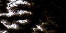
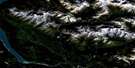
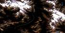
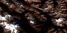
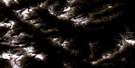
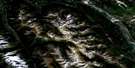
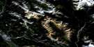
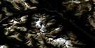
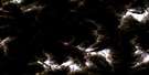
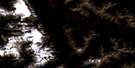
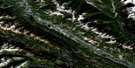
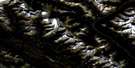
Golden Satellite Image Map
Download Free Aerial Photo 082N07 at 1:50,000 scale
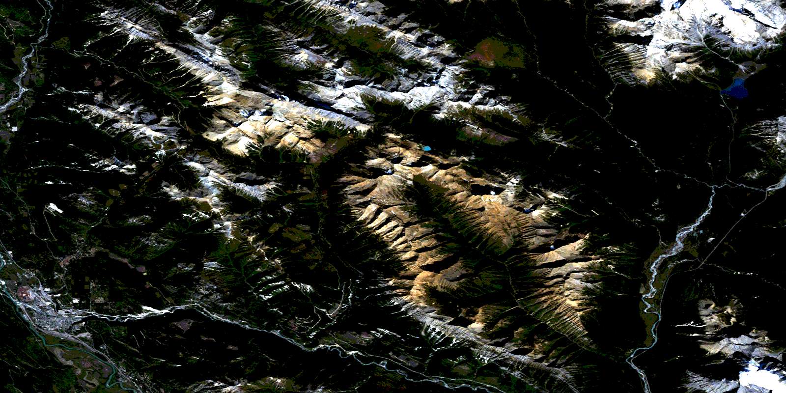
Golden Satellite Imagery
To view this satellite map, mouse over the air photo on the right.
You can also download this satellite image map for free:
082N07 Golden high-resolution satellite image map.
Maps for the Golden aerial map sheet 082N07 at 1:50,000 scale are also available in these versions:
Golden Surrounding Area Aerial Photo Maps
 |
 |
 |
 |
 |
 |
 |
 |
 |
 |
 |
 |
 |
 |
 |
 |
© Department of Natural Resources Canada. All rights reserved.
Golden Gazetteer
The following places can be found on satellite image map 082N07 Golden:
Golden Satellite Image: Falls
Hamilton FallsMagnificent Cascade
Oreamnos Cascade
Golden Satellite Image: Glaciers
Emerald GlacierHanbury Glacier
Golden Satellite Image: Lakes
Cedar LakeEmerald Lake
Hamilton Lake
Little Gem Lake
Lone Duck Lake
Peaceful Pond
Snowdrift Lake
Golden Satellite Image: Mountains
Beaverfoot RangeBurnt Hill
Columbia Mountains
Emerald Peak
Hamilton Ridge
Hamilton Spur
Kiwetinok Ridge
Kootenay Ranges
Langford Peak
Michael Peak
Moberly Peak
Montagnes Rocheuses
Mount Burgess
Mount Carnarvon
Mount Deville
Mount Ennis
Mount Horsey
Mount Hunter
Mount Hurd
Mount King
Mount Marpole
Mount McBeath
Mount Vaux
Ottertail Range
Porcupine Peak
President Range
Purcell Mountains
Redburn Peak
Rocky Mountains
Sea Shoal Mountain
Spike Peak
The President
Tocher Ridge
Van Horne Range
Walcott Peak
Golden Satellite Image: Major municipal/district area - major agglomerations
Columbia-Shuswap Regional DistrictRegional District of Kootenay-Boundary
Golden Satellite Image: Conservation areas
Golden ParkParc national du Canada Yoho
Yoho National Park of Canada
Golden Satellite Image: Rivers
Amiskwi RiverBlaeberry River
Boulder Creek
Cedar Creek
Columbia River
Edelweiss Creek
Emerald River
Fire Creek
Fleuve Columbia
Frenchman Creek
Giddie Creek
Glenogle Creek
Hamilton Creek
Haygarth Creek
Hedberg Creek
Hospital Creek
Kendel Creek
Kicking Horse River
Kiwetinok River
McBeath Creek
Moberly Creek
Oreamnos Creek
Otterhead River
Ottertail River
Otto Creek
Polecabin Creek
Porcupine Creek
Redburn Creek
Russell Creek
Snowdrift Creek
South Hospital Creek
Split Creek
Stacey Creek
Willowbank Creek
Golden Satellite Image: Towns
GoldenGolden Satellite Image: Unincorporated areas
CloisterCutbank
Edelweiss
Glenogle
Misko
Ottertail
Palliser
Golden Satellite Image: Valleys
Emerald PassHurd Pass
Kiwetinok Valley
Lower Canyon
Rocky Mountain Trench
© Department of Natural Resources Canada. All rights reserved.
082N Related Maps:
082N Golden082N01 Mount Goodsir
082N02 Mcmurdo
082N03 Mount Wheeler
082N04 Illecillewaet
082N05 Glacier
082N06 Blaeberry
082N07 Golden
082N08 Lake Louise
082N09 Hector Lake
082N10 Blaeberry River
082N11 Bluewater Creek
082N12 Mount Sir Sandford
082N13 Sullivan River
082N14 Rostrum Peak
082N15 Mistaya Lake
082N16 Siffleur River
