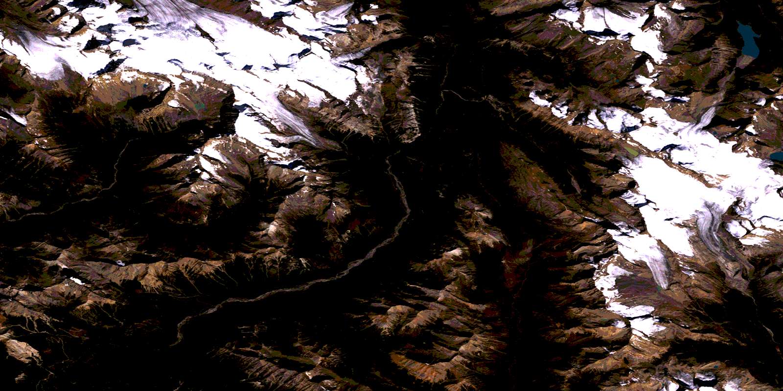
Blaeberry River Satellite Image Map
Download Free Aerial Photo 082N10 at 1:50,000 scale
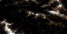
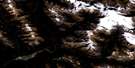
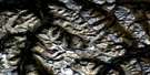
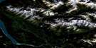
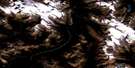
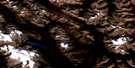
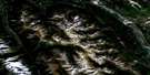
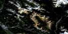
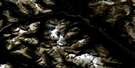
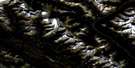
Blaeberry River Satellite Imagery
To view this satellite map, mouse over the air photo on the right.
You can also download this satellite image map for free:
082N10 Blaeberry River high-resolution satellite image map.
Maps for the Blaeberry River aerial map sheet 082N10 at 1:50,000 scale are also available in these versions:
Blaeberry River Surrounding Area Aerial Photo Maps
 |
 |
 |
 |
 |
 |
 |
 |
 |
 |
 |
 |
 |
 |
 |
 |
© Department of Natural Resources Canada. All rights reserved.
Blaeberry River Gazetteer
The following places can be found on satellite image map 082N10 Blaeberry River:
Blaeberry River Satellite Image: Falls
Amiskwi FallsBlaeberry Falls
Diableret Falls
Fall of the Waves
Laughing Falls
Twin Falls
Blaeberry River Satellite Image: Glaciers
Ayesha GlacierBaker Glacier
Barbette Glacier
Bow Glacier
Cairnes Glacier
Campbell Glacier
Campbell Icefield
Capricorn Glacier
Delta Glacier
Dragonback Glacier
Emerald Glacier
Freshfield Icefield
Glacier des Poilus
Lambe Glacier
McArthur Glacier
Mummery Glacier
Parapet Glacier
Parapet Glacier
Peyto Glacier
Waitabit Glacier
Wapta Glacier
Wapta Icefield
Wapta Icefield
Yoho Glacier
Blaeberry River Satellite Image: Lakes
Amiskwi LakeCaldron Lake
Frigid Lake
Kiwetinok Lake
Lake Celeste
Lake Duchesnay
Lateral Lake
Marpole Lake
Peyto Lake
Twin Lakes
Waitabit Lake
Blaeberry River Satellite Image: Mountains
Amiskwi PeakArete Peak
Ayesha Peak
Barbette Mountain
Barbette Mountain
Barnard Dent Group
Barnard Dent Group
Blackwater Range
Caldron Peak
Conway Group
Conway Group
Doubt Hill
Fisher Peak
Gilgit Mountain
Gilgit Mountain
Hagen Peak
Isolated Peak
Kiwetinok Peak
Kiwetinok Ridge
McArthur Mountain
Mistaya Mountain
Mistaya Mountain
Mont des Poilus
Montagnes Rocheuses
Montagnes Rocheuses
Mount Baker
Mount Baker
Mount Barlow
Mount Barlow
Mount Barnard
Mount Bulyea
Mount Bulyea
Mount Cairnes
Mount Collie
Mount de Margerie
Mount Freshfield
Mount Freshfield
Mount Gilgit
Mount Gordon
Mount Habel
Mount Habel
Mount Helmer
Mount Helmer
Mount Jimmy Simpson
Mount Keays
Mount Kerr
Mount Lambe
Mount Lambe
Mount Laussedat
Mount Lotosky
Mount Low
Mount Low
Mount Mather
Mount McArthur
Mount Mummery
Mount Patterson
Mount Pilkington
Mount Pilkington
Mount Poland
Mount Pollinger
Mount Prior
Mount Prior
Mount Rhondda
Mount Rhondda
Mount Sheppard
Mount Termier
Mount Thompson
Mount Trutch
Mount Trutch
Mount Walker
Mount Whiteaves
Mount Whiteaves
Mummery Group
Nanga Parbat Mountain
Nanga Parbat Mountain
Ogre Peak
Peyto Peak
Portal Peak
President Range
Prior Peak
Prior Peak
Rocky Mountains
Rocky Mountains
Sea Lion Mountain
Sealion Mountain
Solitaire Mountain
St. Nicholas Peak
St. Nicholas Peak
The President
The Secretary-Treasurer
The Vice President
Thompson Mountain
Trapper Peak
Trapper Peak
Trutch Mountain
Van Horne Range
Waitabit Peak
Waitabit Peak
Waputik Mountains
Waputik Mountains
Whaleback Mountain
Yoho Peak
Blaeberry River Satellite Image: Major municipal/district area - major agglomerations
Columbia-Shuswap Regional DistrictRegional District of Kootenay-Boundary
Blaeberry River Satellite Image: Other municipal/district area - miscellaneous
Improvement District No. 9Blaeberry River Satellite Image: Conservation areas
Banff National Park of CanadaLieu historique national du Canada du Salon-de-Thé-des-Chutes-Twin
Parc national du Canada Banff
Parc national du Canada Yoho
Twin Falls Tea House National Historic Site of Canada
Yoho National Park of Canada
Blaeberry River Satellite Image: Rivers
Amiskwi RiverBlaeberry River
Bluewater Creek
Breaker Creek
Caldron Creek
Collie Creek
Delta Creek
Ensign Creek
Fairy Creek
Kit Creek
Kiwetinok River
Little Yoho River
Martin Creek
Mistaya River
Mummery Creek
Otto Creek
Parapet Creek
Peyto Creek
Split Creek
Twin Falls Creek
Waitabit Creek
Waves Creek
Wildcat Creek
Yoho River
Blaeberry River Satellite Image: Valleys
Amiskwi PassKiwetinok Pass
Kiwetinok Valley
Otto Pass
President Pass
Waterfall Valley
Yoho Valley
© Department of Natural Resources Canada. All rights reserved.
082N Related Maps:
082N Golden082N01 Mount Goodsir
082N02 Mcmurdo
082N03 Mount Wheeler
082N04 Illecillewaet
082N05 Glacier
082N06 Blaeberry
082N07 Golden
082N08 Lake Louise
082N09 Hector Lake
082N10 Blaeberry River
082N11 Bluewater Creek
082N12 Mount Sir Sandford
082N13 Sullivan River
082N14 Rostrum Peak
082N15 Mistaya Lake
082N16 Siffleur River
