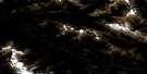
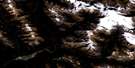
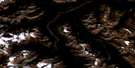
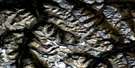
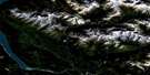
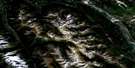
Sullivan River Satellite Image Map
Download Free Aerial Photo 082N13 at 1:50,000 scale
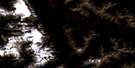
Sullivan River Satellite Imagery
To view this satellite map, mouse over the air photo on the right.
You can also download this satellite image map for free:
082N13 Sullivan River high-resolution satellite image map.
Maps for the Sullivan River aerial map sheet 082N13 at 1:50,000 scale are also available in these versions:
Sullivan River Surrounding Area Aerial Photo Maps
 |
 |
 |
 |
 |
 |
 |
 |
 |
 |
 |
 |
 |
 |
 |
 |
© Department of Natural Resources Canada. All rights reserved.
Sullivan River Gazetteer
The following places can be found on satellite image map 082N13 Sullivan River:
Sullivan River Satellite Image: Bays
Bush ArmDouble Eddy Bay
Game Bay
Kinbasket Arm
Smith Bay
Succour Arm
Sullivan Arm
Swan Bay
Sullivan River Satellite Image: Glaciers
Ed Falls GlacierGothics Glacier
Granite Glacier
Sullivan River Satellite Image: Lakes
Bush LakeKinbasket Lake
Sullivan River Satellite Image: Mountains
Adamant RangeAmbleside Peak
Big Bend Ranges
Columbia Mountains
Doubletop Mountain
Houdini Needles
Kitchen Range
Lid Mountain
Montagnes Rocheuses
Mount Damon
Mount Ed Falls
Mount Pythias
Park Ranges
Poker Mountain
Rocky Mountains
Selkirk Mountains
Solitude Mountain
Sophist Mountain
Stovepipe Mountain
Tabernacle Mountain
Vertebrae Mountain
Vertebrae Ridge
Sullivan River Satellite Image: Major municipal/district area - major agglomerations
Columbia-Shuswap Regional DistrictRegional District of Kootenay-Boundary
Sullivan River Satellite Image: Rapids
Surprise RapidsSullivan River Satellite Image: Rivers
Austerity CreekCaribou Creek
Chatter Creek
Columbia River
Double Eddy Creek
Fleuve Columbia
Game Creek
Garrett Creek
Kinbasket Creek
Kinbasket River
Little Foster Creek
Middle River
Nixon Creek
Prattle Creek
Shell Creek
Smith Creek
Sullivan River
Swan Creek
Tabernacle Creek
Sullivan River Satellite Image: River features
Columbia ReachThe Elbow
Sullivan River Satellite Image: Shoals
Sentinel RockSullivan River Satellite Image: Valleys
Rocky Mountain TrenchSullivan River Satellite Image: Low vegetation
Fairy Meadow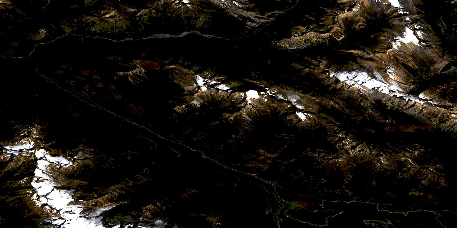
© Department of Natural Resources Canada. All rights reserved.
082N Related Maps:
082N Golden082N01 Mount Goodsir
082N02 Mcmurdo
082N03 Mount Wheeler
082N04 Illecillewaet
082N05 Glacier
082N06 Blaeberry
082N07 Golden
082N08 Lake Louise
082N09 Hector Lake
082N10 Blaeberry River
082N11 Bluewater Creek
082N12 Mount Sir Sandford
082N13 Sullivan River
082N14 Rostrum Peak
082N15 Mistaya Lake
082N16 Siffleur River
