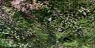
Swartz Lake Satellite Image Map
Download Free Aerial Photo 083J12 at 1:50,000 scale
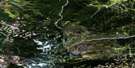
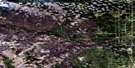
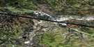
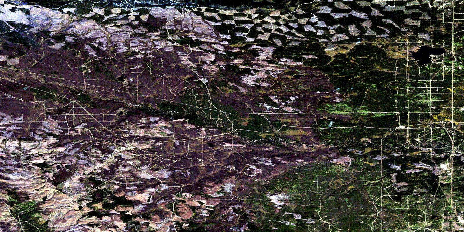
Swartz Lake Satellite Imagery
To view this satellite map, mouse over the air photo on the right.
You can also download this satellite image map for free:
083J12 Swartz Lake high-resolution satellite image map.
Maps for the Swartz Lake aerial map sheet 083J12 at 1:50,000 scale are also available in these versions:
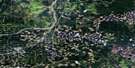
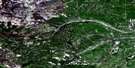
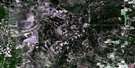
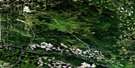
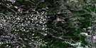
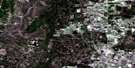
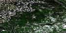
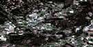
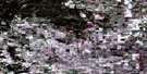
Swartz Lake Surrounding Area Aerial Photo Maps
 |
 |
 |
 |
 |
 |
 |
 |
 |
 |
 |
 |
 |
 |
 |
 |
© Department of Natural Resources Canada. All rights reserved.
Swartz Lake Gazetteer
The following places can be found on satellite image map 083J12 Swartz Lake:
Swartz Lake Satellite Image: Lakes
Freeman LakeMarigold Lake
Mons Lake
Swartz Lake
Swartz Lake Satellite Image: Mountains
Swan HillsSwartz Lake Satellite Image: Major municipal/district area - major agglomerations
Municipal District of Big Lakes No. 125Municipal District of Greenview No. 16
Swartz Lake Satellite Image: Rivers
East Prairie RiverFirst Creek
Freeman Creek
Freeman River
Freemen River
Goose River
Hope Creek
Layla Creek
Louise Creek
Morse River
Sakwatamau River
Stephanie Creek
Swan River
© Department of Natural Resources Canada. All rights reserved.
083J Related Maps:
083J Whitecourt083J01 Barrhead
083J02 Thunder Lake
083J03 Green Court
083J04 Whitecourt
083J05 Carson Lake
083J06 Christmas Creek
083J07 Fort Assiniboine
083J08 Shoal Creek
083J09 Flatbush
083J10 Timeu Creek
083J11 Swan Hills
083J12 Swartz Lake
083J13 Wallace Mountain
083J14 Deer Mountain
083J15 Jessie Lake
083J16 Chisholm
