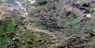
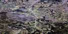
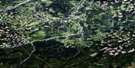
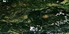
Asplund Creek Satellite Image Map
Download Free Aerial Photo 083K14 at 1:50,000 scale
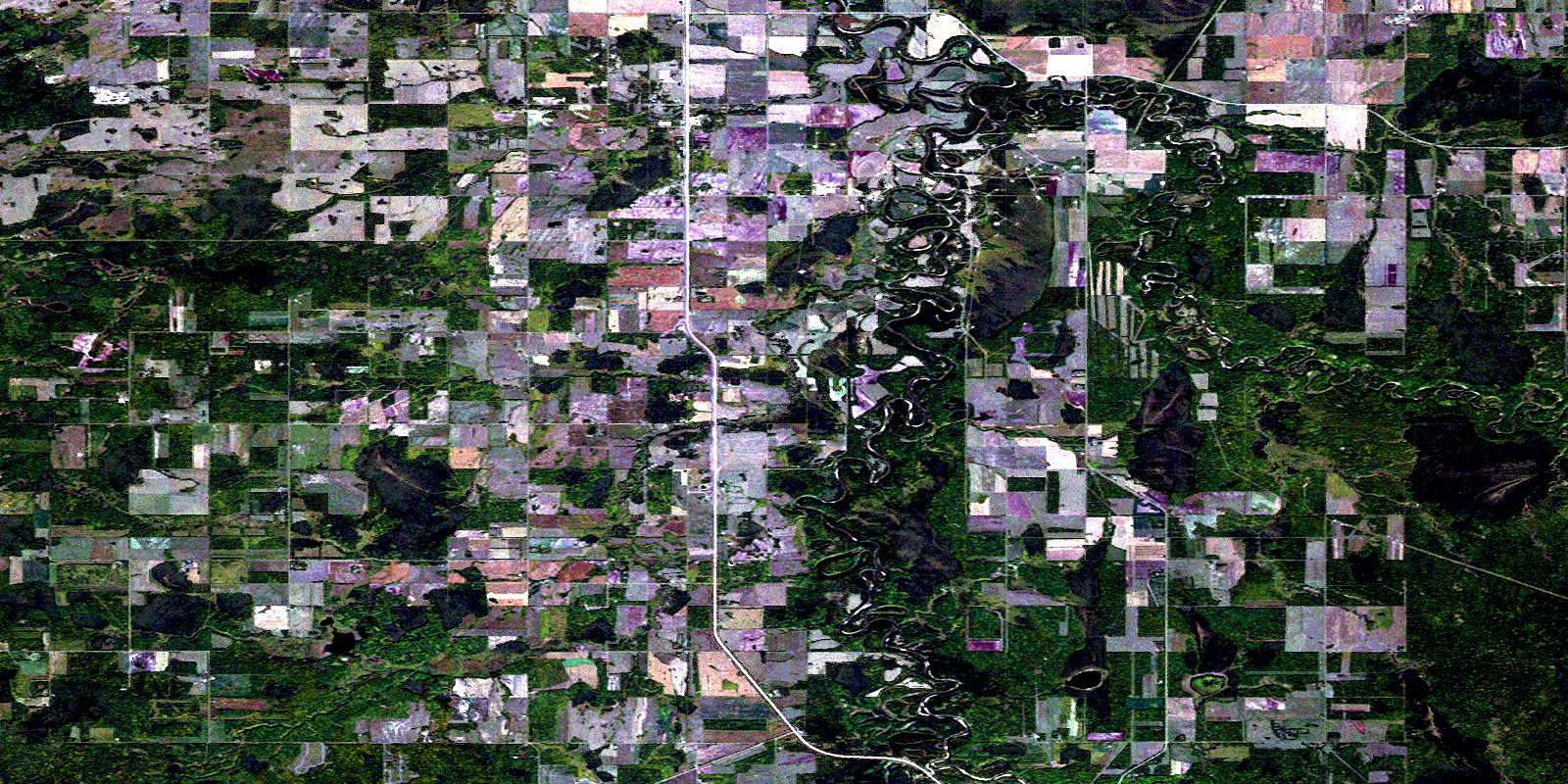
Asplund Creek Satellite Imagery
To view this satellite map, mouse over the air photo on the right.
You can also download this satellite image map for free:
083K14 Asplund Creek high-resolution satellite image map.
Maps for the Asplund Creek aerial map sheet 083K14 at 1:50,000 scale are also available in these versions:
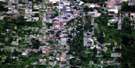
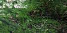
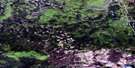
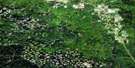
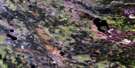
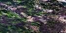
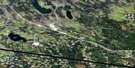
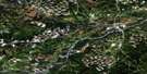
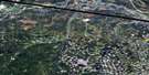
Asplund Creek Surrounding Area Aerial Photo Maps
 |
 |
 |
 |
 |
 |
 |
 |
 |
 |
 |
 |
 |
 |
 |
 |
© Department of Natural Resources Canada. All rights reserved.
Asplund Creek Gazetteer
The following places can be found on satellite image map 083K14 Asplund Creek:
Asplund Creek Satellite Image: Beaches
Dog Eating PrairieAsplund Creek Satellite Image: Glaciers
Gyr GlacierAsplund Creek Satellite Image: Lakes
Birch LakeFrog Lake
Moose Lake
Asplund Creek Satellite Image: Major municipal/district area - major agglomerations
Municipal District of Greenview No. 16Asplund Creek Satellite Image: Rivers
Asplund CreekGoose River
Huggard Creek
Little Smoky River
Moose Creek
Waskahigan River
© Department of Natural Resources Canada. All rights reserved.
083K Related Maps:
083K Iosegun Lake083K01 Windfall Creek
083K02 Marsh Head Creek
083K03 Berland River
083K04 No Title
083K05 Deep Valley Creek
083K06 Tony Creek
083K07 Iosegun Lake
083K08 Two Creek
083K09 No Title
083K10 Atikkamek Creek
083K11 Waskahigan River
083K12 Ante Creek
083K13 Long Lake
083K14 Asplund Creek
083K15 Sweathouse Creek
083K16 Wallace River
