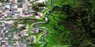
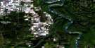
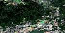
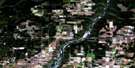
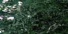
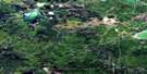
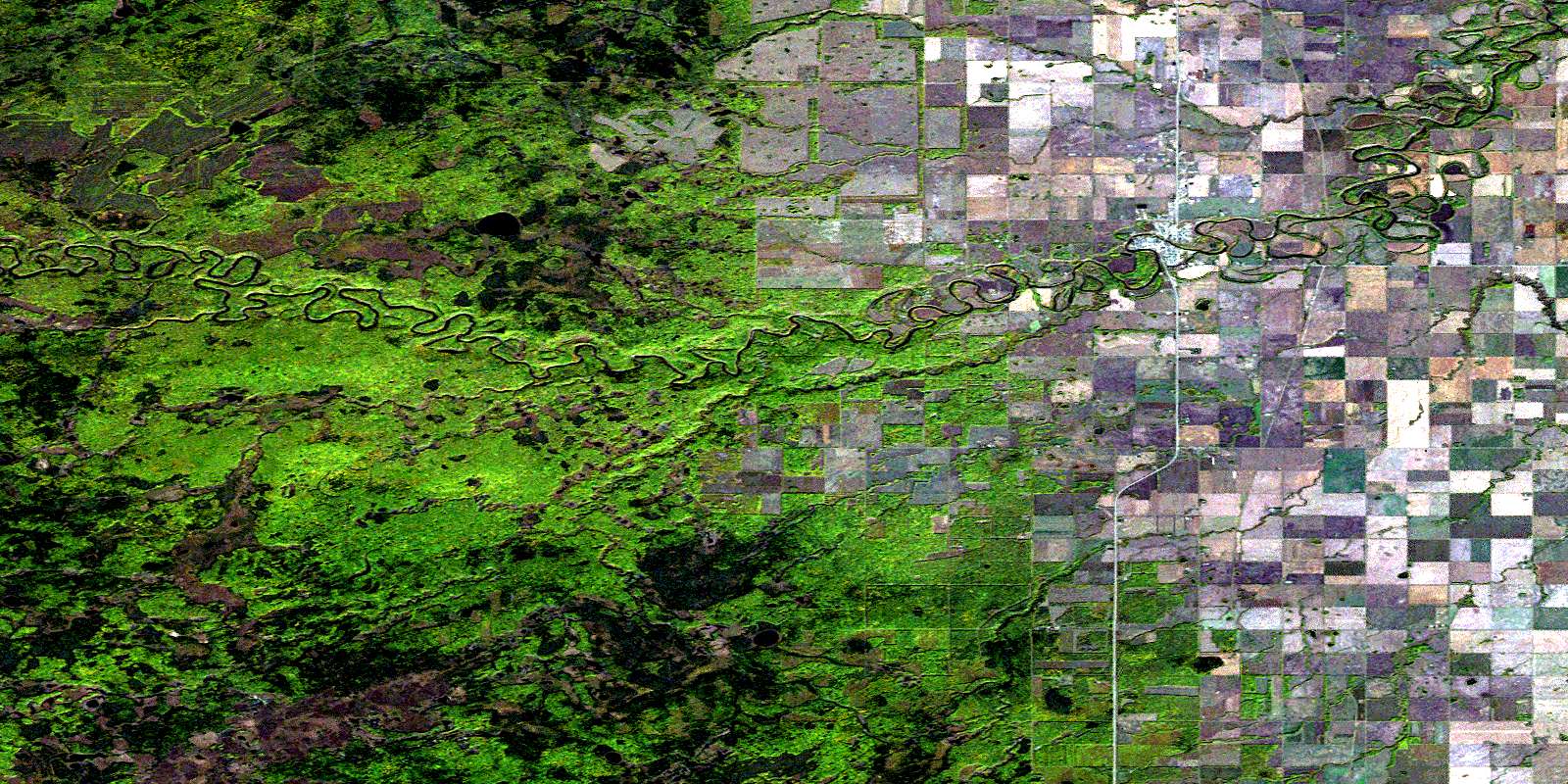
Manning Satellite Image Map
Download Free Aerial Photo 084C13 at 1:50,000 scale
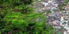
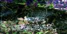
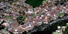
Manning Satellite Imagery
To view this satellite map, mouse over the air photo on the right.
You can also download this satellite image map for free:
084C13 Manning high-resolution satellite image map.
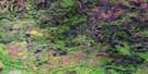
Maps for the Manning aerial map sheet 084C13 at 1:50,000 scale are also available in these versions:
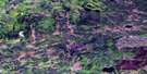
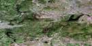
Manning Surrounding Area Aerial Photo Maps
 |
 |
 |
 |
 |
 |
 |
 |
 |
 |
 |
 |
 |
 |
 |
 |
© Department of Natural Resources Canada. All rights reserved.
Manning Gazetteer
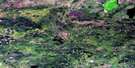
The following places can be found on satellite image map 084C13 Manning:
Manning Satellite Image: Major municipal/district area - major agglomerations
Municipal District of Northern Lights No. 22Manning Satellite Image: Conservation areas
Plavin Homestead Provincial Historic Site (Undeveloped)Manning Satellite Image: Rivers
Buchanan CreekJim Creek
Notikewin River
Soldar Creek
Stowe Creek
Manning Satellite Image: Towns
ManningManning Satellite Image: Unincorporated areas
North StarNotikewin
© Department of Natural Resources Canada. All rights reserved.
084C Related Maps:
084C Peace River084C01 Seal Lake
084C02 Harmon Valley
084C03 Peace River
084C04 Grimshaw
084C05 Chinook Valley
084C06 Weberville
084C07 Simon Lakes
084C08 Cadotte Lake
084C09 Golden Lake
084C10 Cadotte River
084C11 Deadwood
084C12 Dixonville
084C13 Manning
084C14 Buchanan Creek
084C15 Jackpine Creek
084C16 Haig Lake
