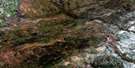
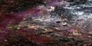
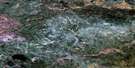
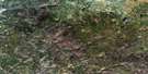
Bergeron Creek Satellite Image Map
Download Free Aerial Photo 084H11 at 1:50,000 scale
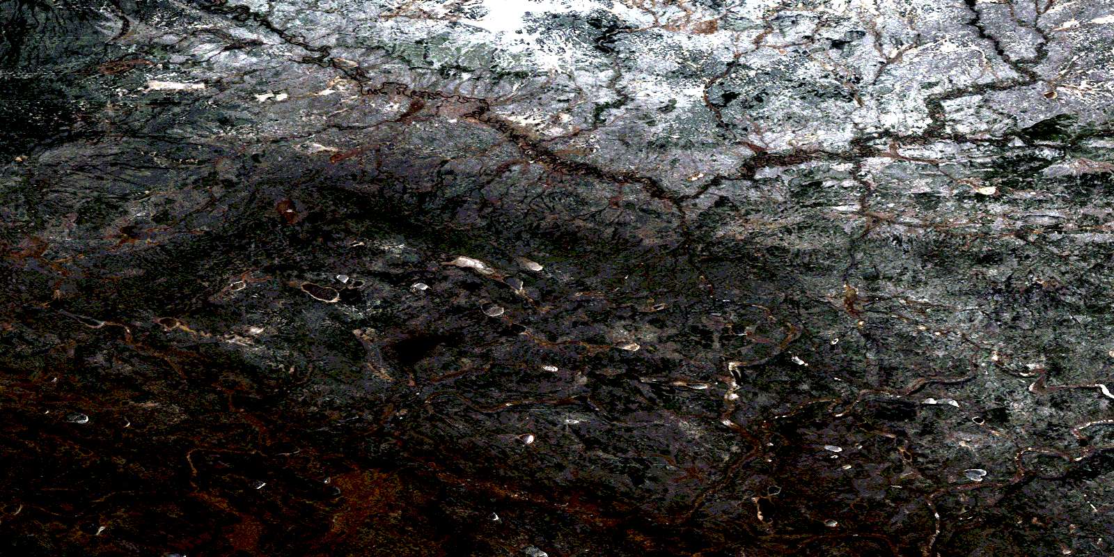
Bergeron Creek Satellite Imagery
To view this satellite map, mouse over the air photo on the right.
You can also download this satellite image map for free:
084H11 Bergeron Creek high-resolution satellite image map.
Maps for the Bergeron Creek aerial map sheet 084H11 at 1:50,000 scale are also available in these versions:
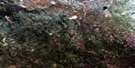
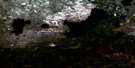
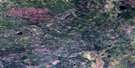
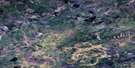
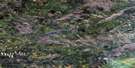
Bergeron Creek Surrounding Area Aerial Photo Maps
 |
 |
 |
 |
 |
 |
 |
 |
 |
 |
 |
 |
 |
 |
 |
 |
© Department of Natural Resources Canada. All rights reserved.
Bergeron Creek Gazetteer
The following places can be found on satellite image map 084H11 Bergeron Creek:
Bergeron Creek Satellite Image: Lakes
Antler LakeKakenokamaksik Lake
Stoney Lake
Bergeron Creek Satellite Image: Mountains
Birch MountainsBergeron Creek Satellite Image: Major municipal/district area - major agglomerations
Municipal District of Opportunity No. 17Bergeron Creek Satellite Image: Rivers
Bergeron CreekBirch River
Filion Creek
Mikkwa River
© Department of Natural Resources Canada. All rights reserved.
084H Related Maps:
084H Namur Lake084H01 No Title
084H02 Snipe Creek
084H03 No Title
084H04 Osi Lake
084H05 Burnt Lakes
084H06 No Title
084H07 Legend Lake
084H08 Chelsea Creek
084H09 No Title
084H10 No Title
084H11 Bergeron Creek
084H12 No Title
084H13 Raymond Creek
084H14 No Title
084H15 No Title
084H16 Bayard Lake
