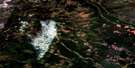
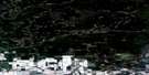
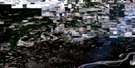
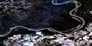
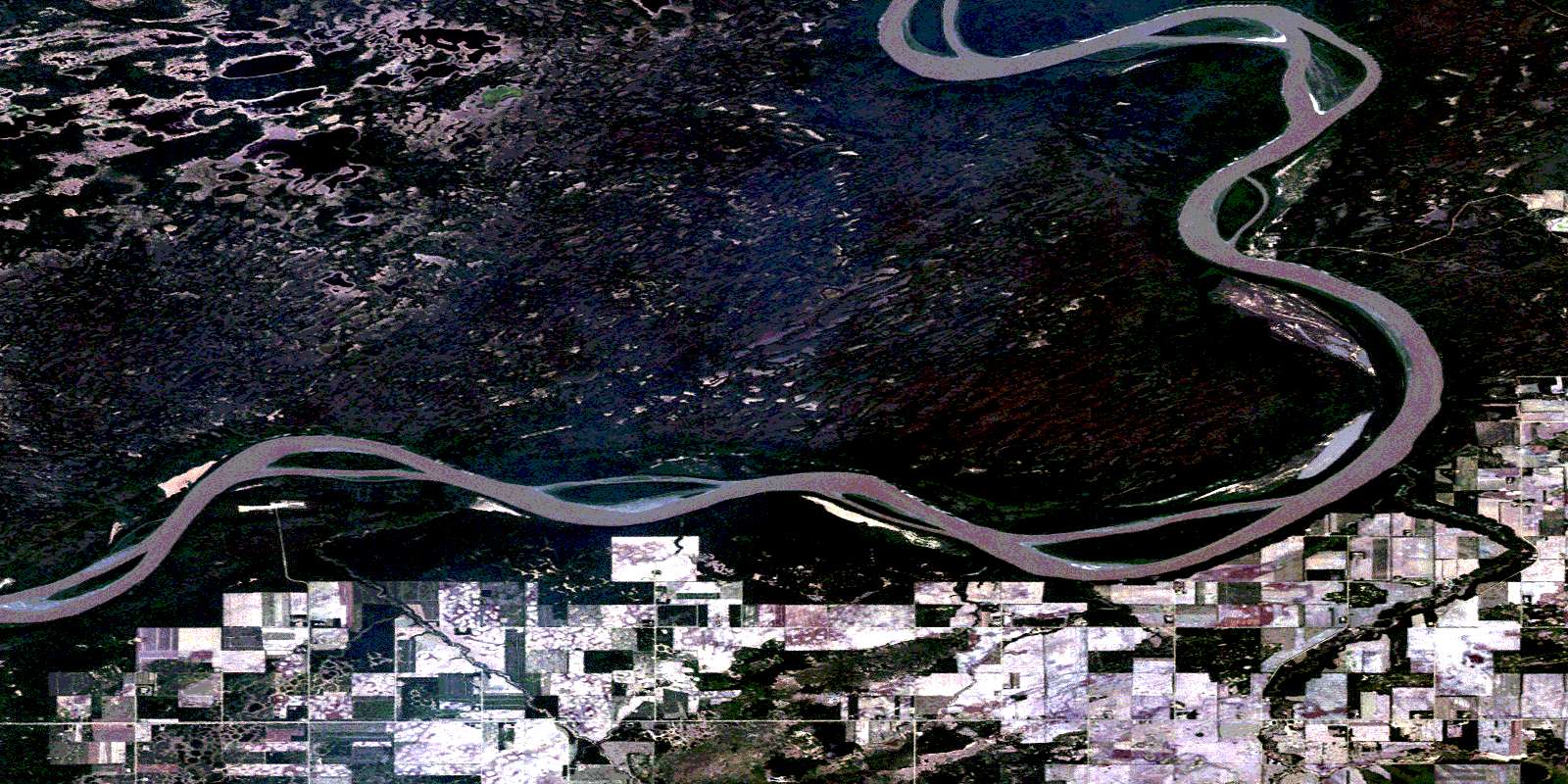
Moose Island Satellite Image Map
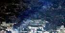
Download Free Aerial Photo 084K02 at 1:50,000 scale
Moose Island Satellite Imagery
To view this satellite map, mouse over the air photo on the right.
You can also download this satellite image map for free:
084K02 Moose Island high-resolution satellite image map.
Maps for the Moose Island aerial map sheet 084K02 at 1:50,000 scale are also available in these versions:
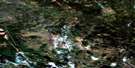
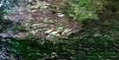
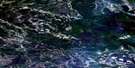
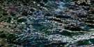
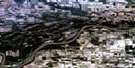
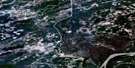
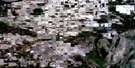
Moose Island Surrounding Area Aerial Photo Maps
 |
 |
 |
 |
 |
 |
 |
 |
 |
 |
 |
 |
 |
 |
 |
 |
© Department of Natural Resources Canada. All rights reserved.
Moose Island Gazetteer
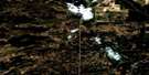
The following places can be found on satellite image map 084K02 Moose Island:
Moose Island Satellite Image: Islands
Moose IslandMoose Island Satellite Image: Lakes
Linton LakeMoose Island Satellite Image: Major municipal/district area - major agglomerations
Municipal District of Mackenzie No. 23Municipal District of Northern Lights No. 22
Specialized Municipality of Mackenzie No. 23
Moose Island Satellite Image: Rivers
Boyer RiverPeace River
Rivière de la Paix
Steephill Creek
Moose Island Satellite Image: Unincorporated areas
Keg River Metis Colony No. 1Keg River Metis Settlement
© Department of Natural Resources Canada. All rights reserved.
084K Related Maps:
084K Mount Watt084K01 Mustus Lake
084K02 Moose Island
084K03 Metis
084K04 Chain Ponds
084K05 Kidney Pond
084K06 Parma Creek
084K07 Child Lake
084K08 Fort Vermilion
084K09 Ponton River
084K10 Bushe River
084K11 High Level
084K12 No Title
084K13 Henderson Creek
084K14 Hutch Lake
084K15 Melvin River
084K16 Hotte Lake
