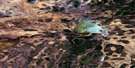
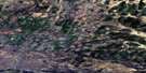
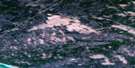
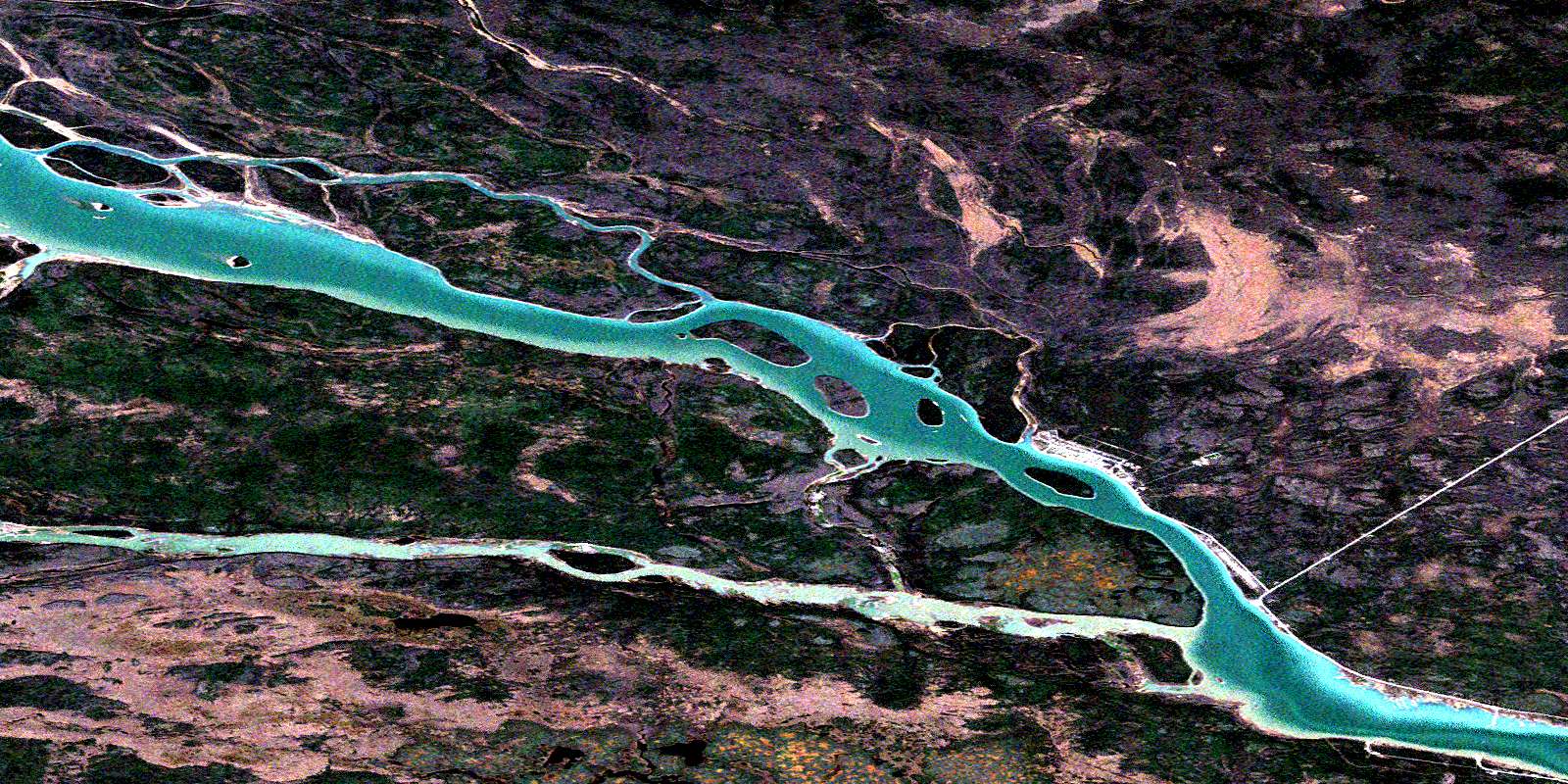
Meridian Island Satellite Image Map
Download Free Aerial Photo 085F05 at 1:50,000 scale
Meridian Island Satellite Imagery
To view this satellite map, mouse over the air photo on the right.
You can also download this satellite image map for free:
085F05 Meridian Island high-resolution satellite image map.
Maps for the Meridian Island aerial map sheet 085F05 at 1:50,000 scale are also available in these versions:
Meridian Island Surrounding Area Aerial Photo Maps
 |
 |
 |
 |
 |
 |
 |
 |
 |
 |
 |
 |
 |
 |
 |
 |
© Department of Natural Resources Canada. All rights reserved.
Meridian Island Gazetteer
The following places can be found on satellite image map 085F05 Meridian Island:
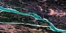
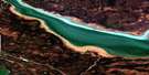
Meridian Island Satellite Image: Channels
Providence NarrowsMeridian Island Satellite Image: Hamlets
Fort ProvidenceMeridian Island Satellite Image: Islands
Gravel IslandGreen Island
Meridian Island
Mission Island
Providence Island
Whitlock Island
Meridian Island Satellite Image: Rapids
Providence RapidsMeridian Island Satellite Image: Rivers
Bluefish RiverFleuve Mackenzie
Mackenzie River
The Big Snye
Meridian Island Satellite Image: Shoals
Joma RockLampham Rock
© Department of Natural Resources Canada. All rights reserved.
085F Related Maps:
085F Falaise Lake085F01 Beacon Point
085F02 North Channel
085F03 Point Sarristo
085F04 No Title
085F05 Meridian Island
085F06 No Title
085F07 Deep Bay
085F08 Boulogne Lake
085F09 No Title
085F10 Calais Lake
085F11 No Title
085F12 No Title
085F13 Mink Lake
085F14 No Title
085F15 No Title
085F16 No Title
