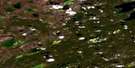
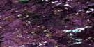
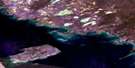
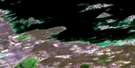
Snively Lake Satellite Image Map
Download Free Aerial Photo 085N16 at 1:50,000 scale
Snively Lake Satellite Imagery
To view this satellite map, mouse over the air photo on the right.
You can also download this satellite image map for free:
085N16 Snively Lake high-resolution satellite image map.
Maps for the Snively Lake aerial map sheet 085N16 at 1:50,000 scale are also available in these versions:
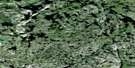
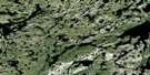
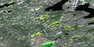
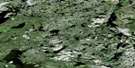
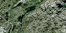
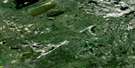
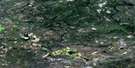
Snively Lake Surrounding Area Aerial Photo Maps
 |
 |
 |
 |
 |
 |
 |
 |
 |
 |
 |
 |
 |
 |
 |
 |
© Department of Natural Resources Canada. All rights reserved.
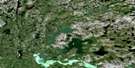
Snively Lake Gazetteer
The following places can be found on satellite image map 085N16 Snively Lake:
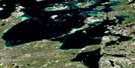
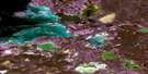
Snively Lake Satellite Image: Lakes
Basler LakeKwejinne Lake
Mattberry Lake
Saddle Lake
Snively Lake
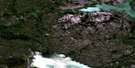
Snively Lake Satellite Image: Rivers
Emile River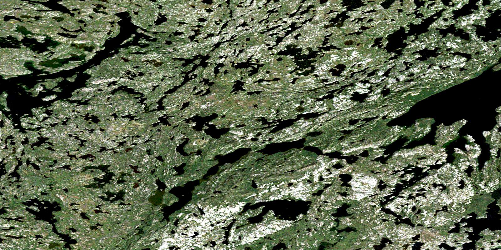
© Department of Natural Resources Canada. All rights reserved.
085N Related Maps:
085N Marian River085N01 Shoti Lake
085N02 La Martre Falls
085N03 Boyer Lake
085N04 Golby Island
085N05 No Title
085N06 Killam Lake
085N07 Tumi Lake
085N08 Strutt Lake
085N09 Labrish Lake
085N10 Bea Lake
085N11 Mcquarrie Lake
085N12 Trumper Lake
085N13 Mclellan Lake
085N14 Mossey Island
085N15 Ketcheson Lake
085N16 Snively Lake
