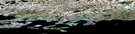
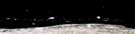
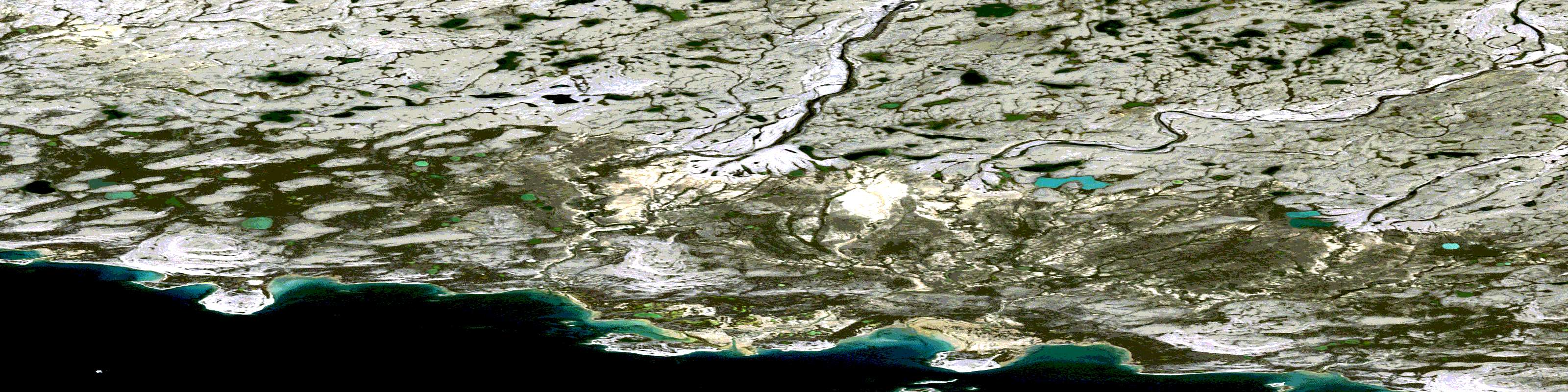
Woodward Point Satellite Image Map
Download Free Aerial Photo 087E09 at 1:50,000 scale
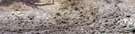
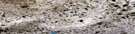
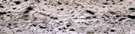
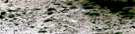
Woodward Point Satellite Imagery
To view this satellite map, mouse over the air photo on the right.
You can also download this satellite image map for free:
087E09 Woodward Point high-resolution satellite image map.
Maps for the Woodward Point aerial map sheet 087E09 at 1:50,000 scale are also available in these versions:
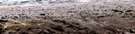
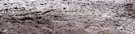
Woodward Point Surrounding Area Aerial Photo Maps
 |
 |
 |
 |
 |
 |
 |
 |
 |
 |
 |
 |
 |
 |
 |
 |
© Department of Natural Resources Canada. All rights reserved.
Woodward Point Gazetteer
The following places can be found on satellite image map 087E09 Woodward Point:
Woodward Point Satellite Image: Bays
Atkinson BayWoodward Point Satellite Image: Capes
Diamond Jenness PeninsulaNuvukhii
Woodward Point
Woodward Point Satellite Image: Channels
KangiryuaqPrince Albert Sound
Woodward Point Satellite Image: Islands
QikiqtaalukVictoria Island
Woodward Point Satellite Image: Mountains
TikiraryuaqWoodward Point Satellite Image: Rivers
KuukKuuk River
© Department of Natural Resources Canada. All rights reserved.
087E Related Maps:
087E Prince Albert Sound087E01 No Title
087E02 No Title
087E03 No Title
087E04 No Title
087E05 No Title
087E06 No Title
087E07 Linaluk Island
087E08 No Title
087E09 Woodward Point
087E10 Page Point
087E11 No Title
087E12 No Title
087E13 No Title
087E14 No Title
087E15 No Title
087E16 Tahiryuak Lake
