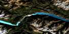
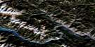
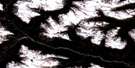
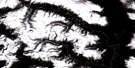
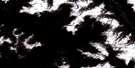
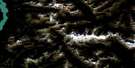
Brandywine Falls Satellite Image Map
Download Free Aerial Photo 092J03 at 1:50,000 scale
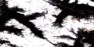
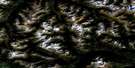
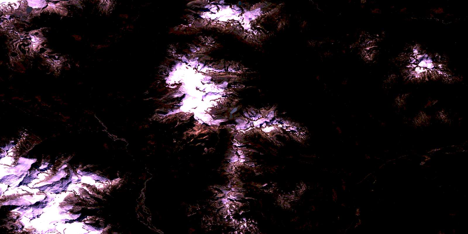
Brandywine Falls Satellite Imagery
To view this satellite map, mouse over the air photo on the right.
You can also download this satellite image map for free:
092J03 Brandywine Falls high-resolution satellite image map.
Maps for the Brandywine Falls aerial map sheet 092J03 at 1:50,000 scale are also available in these versions:
Brandywine Falls Surrounding Area Aerial Photo Maps
 |
 |
 |
 |
 |
 |
 |
 |
 |
 |
 |
 |
 |
 |
 |
 |
© Department of Natural Resources Canada. All rights reserved.
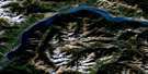
Brandywine Falls Gazetteer
The following places can be found on satellite image map 092J03 Brandywine Falls:
Brandywine Falls Satellite Image: Falls
Alexander FallsBrandywine Falls
Brandywine Falls Satellite Image: Glaciers
Pemberton IcefieldBrandywine Falls Satellite Image: Lakes
Alpha LakeBlanca Lake
Brew Lake
Callaghan Lake
Daisy Lake
Pinecrest Lake
Powell Lake
Rainbow Lake
Ransom Lake
Retta Lake
Wood Lake
Brandywine Falls Satellite Image: Mountains
Brandywine MountainChaîne Côtière
Coast Mountains
Cypress Peak
Empetrum Ridge
Fitzsimmons Range
Icecap Peak
Metal Dome
Mount Brew
Mount Callaghan
Mount Cayley
Mount Fee
Mount Sproatt
Pacific Ranges
Powder Mountain
Pykett Peak
Rainbow Mountain
Ring Mountain
Tricouni Peak
Brandywine Falls Satellite Image: Conservation areas
Brandywine Falls ParkCallaghan Lake Park
Garibaldi Park
Brandywine Falls Satellite Image: Rivers
Alpha CreekBrandywine Creek
Brew Creek
Callaghan Creek
Dipper Creek
Dority Creek
Edna Creek
Elaho River
Madeley Creek
Marble Creek
Millar Creek
Nineteen Mile Creek
Petticoat Creek
Roe Creek
Shovelnose Creek
Snow Creek
Soo River
Sproatt Creek
Squamish River
Torrent Creek
Turbid Creek
Twentyone Mile Creek
Brandywine Falls Satellite Image: Unincorporated areas
BrandywineBrandywine Falls
McGuire
Sproatt
Tamarisk
Van West
Water Tank
© Department of Natural Resources Canada. All rights reserved.
092J Related Maps:
092J Pemberton092J01 Stein Lake
092J02 Whistler
092J03 Brandywine Falls
092J04 Princes Louisa Inlet
092J05 Clendenning Creek
092J06 Ryan River
092J07 Pemberton
092J08 Duffey Lake
092J09 Shalalth
092J10 Birkenhead Lake
092J11 North Creek
092J12 Mount Dalgleish
092J13 Stanley Smith Glacier
092J14 Dickson Range
092J15 Bralorne
092J16 Bridge River
