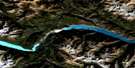
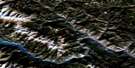
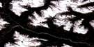
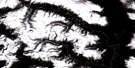
Ryan River Satellite Image Map
Download Free Aerial Photo 092J06 at 1:50,000 scale
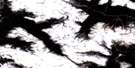
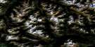
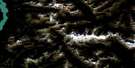
Ryan River Satellite Imagery
To view this satellite map, mouse over the air photo on the right.
You can also download this satellite image map for free:
092J06 Ryan River high-resolution satellite image map.
Maps for the Ryan River aerial map sheet 092J06 at 1:50,000 scale are also available in these versions:
Ryan River Surrounding Area Aerial Photo Maps
 |
 |
 |
 |
 |
 |
 |
 |
 |
 |
 |
 |
 |
 |
 |
 |
© Department of Natural Resources Canada. All rights reserved.
Ryan River Gazetteer
The following places can be found on satellite image map 092J06 Ryan River:
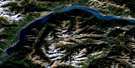
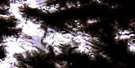
Ryan River Satellite Image: Glaciers
Appa GlacierIpsoot Glacier
Pemberton Icefield
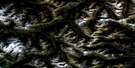
Ryan River Satellite Image: Mountains
Chaîne CôtièreCoast Mountains
Exodus Peak
Kwtamts Peak
Longspur Peak
Mount Morrison
Pacific Ranges
Rhododendron Mountain
Sem'am Peak
Sisqa Peak
Sugarloaf Mountain
Syaqtsa Skuza Peak
The Camels Back
Ryan River Satellite Image: Major municipal/district area - major agglomerations
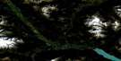
Squamish-Lillooet Regional DistrictRyan River Satellite Image: Rivers
Petersen CreekRutherford Creek
Ryan Creek
Ryan River
Soo River
South Creek
Squamish River
Torrent Creek
Wasp Creek
Ryan River Satellite Image: Valleys
Pemberton Valley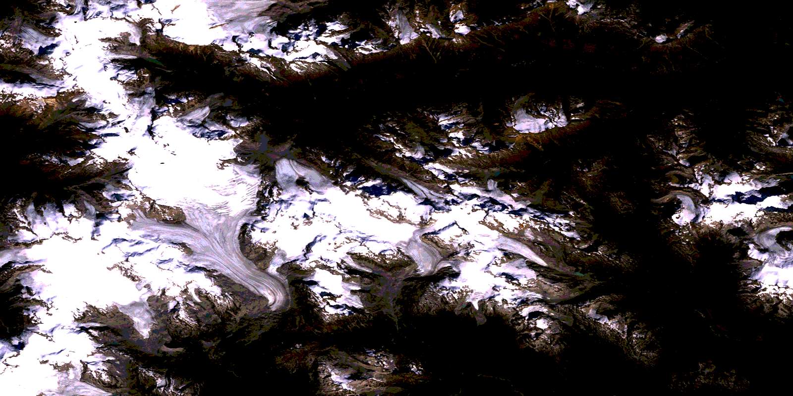
© Department of Natural Resources Canada. All rights reserved.
092J Related Maps:
092J Pemberton092J01 Stein Lake
092J02 Whistler
092J03 Brandywine Falls
092J04 Princes Louisa Inlet
092J05 Clendenning Creek
092J06 Ryan River
092J07 Pemberton
092J08 Duffey Lake
092J09 Shalalth
092J10 Birkenhead Lake
092J11 North Creek
092J12 Mount Dalgleish
092J13 Stanley Smith Glacier
092J14 Dickson Range
092J15 Bralorne
092J16 Bridge River
