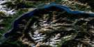
Bridge River Satellite Image Map
Download Free Aerial Photo 092J16 at 1:50,000 scale
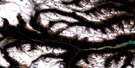
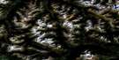
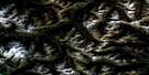
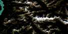
Bridge River Satellite Imagery
To view this satellite map, mouse over the air photo on the right.
You can also download this satellite image map for free:
092J16 Bridge River high-resolution satellite image map.
Maps for the Bridge River aerial map sheet 092J16 at 1:50,000 scale are also available in these versions:
Bridge River Surrounding Area Aerial Photo Maps
 |
 |
 |
 |
 |
 |
 |
 |
 |
 |
 |
 |
 |
 |
 |
 |
© Department of Natural Resources Canada. All rights reserved.
Bridge River Gazetteer
The following places can be found on satellite image map 092J16 Bridge River:
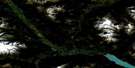
Bridge River Satellite Image: Hydraulic construction
Terzaghi DamBridge River Satellite Image: Indian Reserves
Bridge River Indian Reserve 1Réserve indienne Bridge River 1
Réserve indienne Slosh 1A
Slosh Indian Reserve 1A
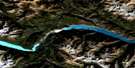
Bridge River Satellite Image: Lakes
Burkholder LakeCarol Lake
Carpenter Lake
Keary Lake
Lake La Mare
Serpentine Lake
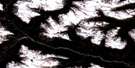
Bridge River Satellite Image: Mountains
Bendor RangeCamelsfoot Mountains
Camelsfoot Range
Chaîne Côtière
Coast Mountains
Marshall Ridge
Mission Ridge
Mount Birch
Mount Bishop
Mount Duncan
Nosebag Mountain
Pacific Ranges
Rex Peak
Rex Peaks
Shulaps Mountain
Shulaps Range
Slok Hill
Bridge River Satellite Image: Conservation areas
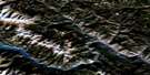
Yalakom Game ReserveBridge River Satellite Image: Rivers
Antoine CreekApplespring Creek
Beaverdam Creek
Bighorn Creek
Brett Creek
Bridge River
Buck Creek
Burkholder Creek
Camoo Creek
Cedarvale Creek
Doe Creek
Fall Creek
Fred Creek
Hell Creek
Hog Creek
Holbrook Creek
Jones Creek
Junction Creek
Keary Creek
La Rochelle Creek
Leon Creek
Marshall Creek
McKay Creek
Michelmoon Creek
Moon Creek
North Jones Creek
Nosebag Creek
Ore Creek
Peridotite Creek
Retaskit Creek
Sebring Creek
Shulaps Creek
Slok Creek
Viera Creek
Yalakom River
Bridge River Satellite Image: Unincorporated areas
MohaRexmount
Bridge River Satellite Image: Valleys
Mission Pass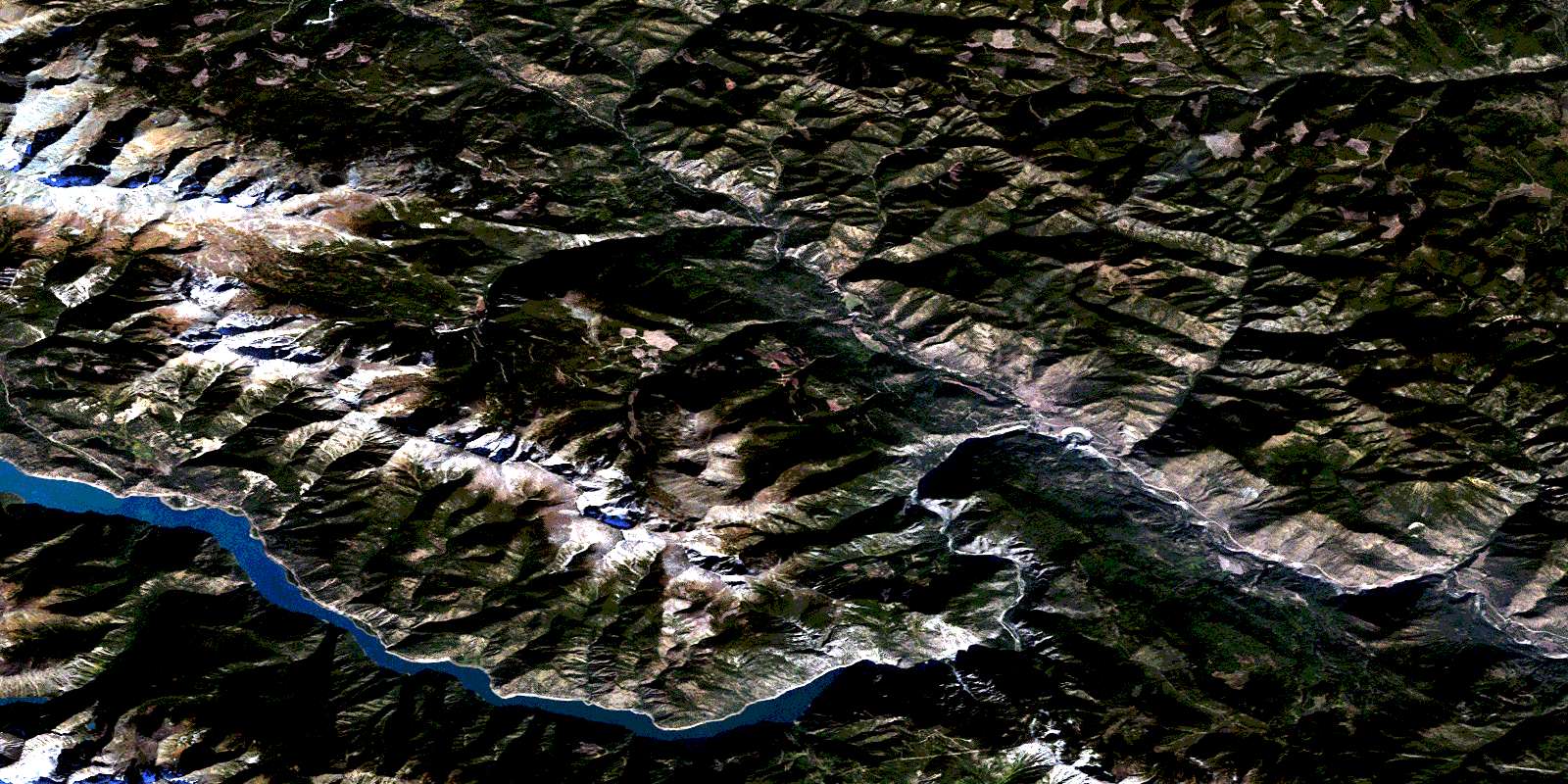
© Department of Natural Resources Canada. All rights reserved.
092J Related Maps:
092J Pemberton092J01 Stein Lake
092J02 Whistler
092J03 Brandywine Falls
092J04 Princes Louisa Inlet
092J05 Clendenning Creek
092J06 Ryan River
092J07 Pemberton
092J08 Duffey Lake
092J09 Shalalth
092J10 Birkenhead Lake
092J11 North Creek
092J12 Mount Dalgleish
092J13 Stanley Smith Glacier
092J14 Dickson Range
092J15 Bralorne
092J16 Bridge River
