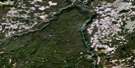
Elkin Creek Satellite Image Map
Download Free Aerial Photo 092O12 at 1:50,000 scale
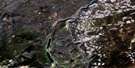
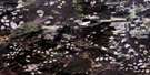
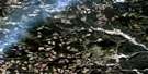
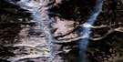
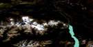
Elkin Creek Satellite Imagery
To view this satellite map, mouse over the air photo on the right.
You can also download this satellite image map for free:
092O12 Elkin Creek high-resolution satellite image map.
Maps for the Elkin Creek aerial map sheet 092O12 at 1:50,000 scale are also available in these versions:
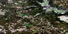
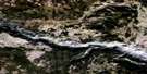
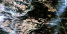
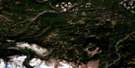
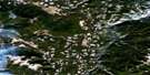
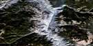
Elkin Creek Surrounding Area Aerial Photo Maps
 |
 |
 |
 |
 |
 |
 |
 |
 |
 |
 |
 |
 |
 |
 |
 |
© Department of Natural Resources Canada. All rights reserved.
Elkin Creek Gazetteer
The following places can be found on satellite image map 092O12 Elkin Creek:
Elkin Creek Satellite Image: Lakes
Atwell LakeAugers Lake
Big Lake
Brittany Lake
Chaunigan Lake
Chaunigan Lakes
Ducharme Lake
Elkin Lake
Mainguy Lake
Murray Taylor Lake
Vedan Lake
Vick Lake
Elkin Creek Satellite Image: Mountains
Chaîne CôtièreChilcotin Ranges
Coast Mountains
Cone Hill
Konni Mountain
Pacific Ranges
Elkin Creek Satellite Image: Major municipal/district area - major agglomerations
Cariboo Regional DistrictElkin Creek Satellite Image: Conservation areas
Nuntsi ParkTaseko Park
Elkin Creek Satellite Image: Plains
Fraser PlateauInterior Plateau
Elkin Creek Satellite Image: Rivers
Brittany CreekCasselman Creek
Chaunigan Creek
Elkin Creek
Haines Creek
Klokon Creek
Mainguy Creek
Nuntsi Creek
Taseko River
Tête Angela Creek
Vick Creek
Elkin Creek Satellite Image: Valleys
Elkin Valley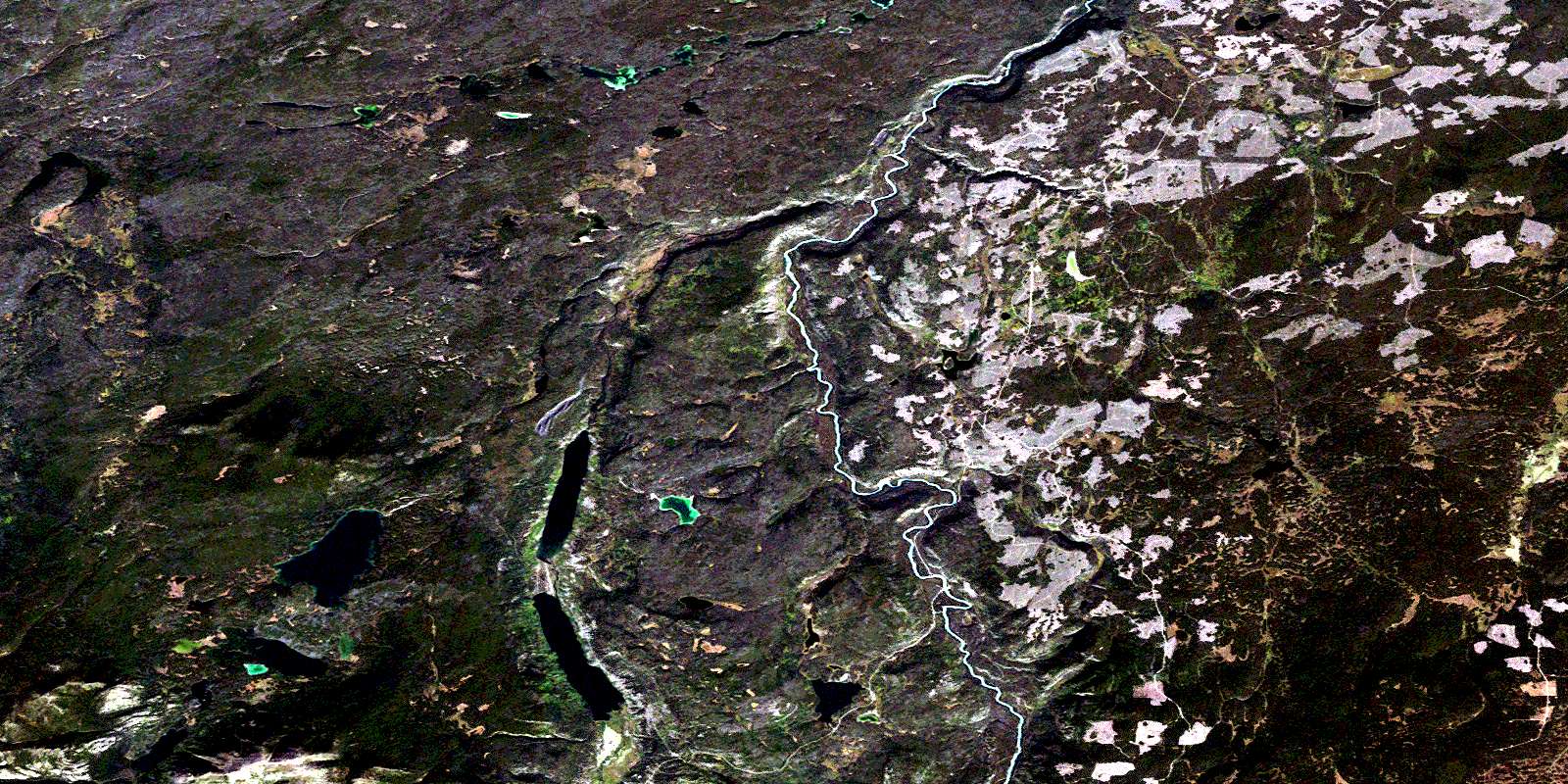
© Department of Natural Resources Canada. All rights reserved.
092O Related Maps:
092O Taseko Lakes092O01 Big Bar Creek
092O02 Noaxe Creek
092O03 Warner Pass
092O04 Tchaikazan River
092O05 Mount Tatlow
092O06 Anvil Mountain
092O07 Churn Creek
092O08 Empire Valley
092O09 Dog Creek
092O10 Mount Alex
092O11 Bambrick Creek
092O12 Elkin Creek
092O13 Scum Lake
092O14 Hanceville
092O15 Riske Creek
092O16 Alkali Lake
