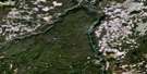
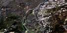
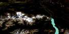
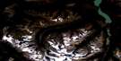
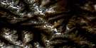
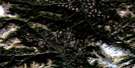
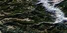
Noaxe Creek Satellite Image Map
Download Free Aerial Photo 092O02 at 1:50,000 scale
Noaxe Creek Satellite Imagery
To view this satellite map, mouse over the air photo on the right.
You can also download this satellite image map for free:
092O02 Noaxe Creek high-resolution satellite image map.
Maps for the Noaxe Creek aerial map sheet 092O02 at 1:50,000 scale are also available in these versions:
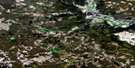
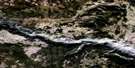
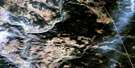
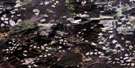
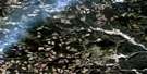
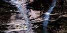
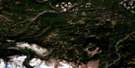
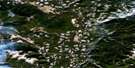
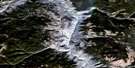
Noaxe Creek Surrounding Area Aerial Photo Maps
 |
 |
 |
 |
 |
 |
 |
 |
 |
 |
 |
 |
 |
 |
 |
 |
© Department of Natural Resources Canada. All rights reserved.
Noaxe Creek Gazetteer
The following places can be found on satellite image map 092O02 Noaxe Creek:
Noaxe Creek Satellite Image: Geographical areas
Lillooet Land DistrictNoaxe Creek Satellite Image: Lakes
Grizzly Bear LakeHorse Lake
Mud Lakes
Noaxe Lake
Prentice Lake
Roaster Lake
Spruce Lake
Swartz (Fish) Lake
Tyaughton Lake
Noaxe Creek Satellite Image: Mountains
Big Dog MountainBig Sheep Mountain
Buck Mountain
Camelsfoot Mountains
Camelsfoot Range
Cardtable Mountain
Castle Mountain
Castle Peak
Chaîne Côtière
Chilcotin Ranges
Coast Mountains
Dickson Peak
Dickson Range
Eldorado Mountain
Fortress Ridge
French Mountain
Leckie Mountains
Nine Mile Ridge
Pacific Ranges
Pearson Ridge
Poison Mountain
Quartz Mountain
Red Mountain
Relay Mountain
Shulaps Mountain
Shulaps Range
Tepee Mountain
Noaxe Creek Satellite Image: Major municipal/district area - major agglomerations
Cariboo Regional DistrictNoaxe Creek Satellite Image: Plains
Fraser PlateauInterior Plateau
Noaxe Creek Satellite Image: Rivers
B. & F. CreekBlue Creek
Bon Creek
Bonanza Creek
Churn Creek
Crane Creek
Dash Creek
Davey Jones Creek
Eldorado Creek
Evelyn Creek
Leckie Creek
Lick Creek
Lindsey Creek
Little Paradise Creek
Liza Creek
Lone Cabin Creek
Lone Valley Creek
Mud Creek
Nea Creek
Nicodemas Creek
Noaxe Creek
North Cinnabar Creek
Old Friend Creek
Panlos Creek
Paradise Creek
Poisonmount Creek
Reid Creek
Relay Creek
Rook Creek
Roxey Creek
Russel Creek
Slim Creek
Spruce Lake Creek
Taylor Creek
Tyaughton Creek
Tyaughton River
Yalakom River
Noaxe Creek Satellite Image: Valleys
Castle Pass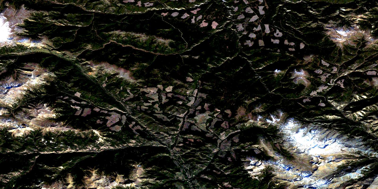
© Department of Natural Resources Canada. All rights reserved.
092O Related Maps:
092O Taseko Lakes092O01 Big Bar Creek
092O02 Noaxe Creek
092O03 Warner Pass
092O04 Tchaikazan River
092O05 Mount Tatlow
092O06 Anvil Mountain
092O07 Churn Creek
092O08 Empire Valley
092O09 Dog Creek
092O10 Mount Alex
092O11 Bambrick Creek
092O12 Elkin Creek
092O13 Scum Lake
092O14 Hanceville
092O15 Riske Creek
092O16 Alkali Lake
