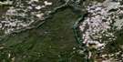
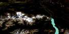
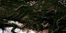
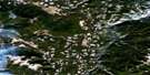
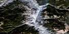
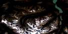
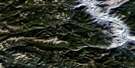
Empire Valley Satellite Image Map
Download Free Aerial Photo 092O08 at 1:50,000 scale
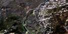
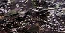
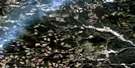
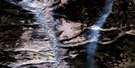
Empire Valley Satellite Imagery
To view this satellite map, mouse over the air photo on the right.
You can also download this satellite image map for free:
092O08 Empire Valley high-resolution satellite image map.
Maps for the Empire Valley aerial map sheet 092O08 at 1:50,000 scale are also available in these versions:
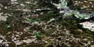
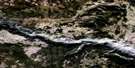
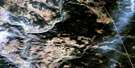
Empire Valley Surrounding Area Aerial Photo Maps
 |
 |
 |
 |
 |
 |
 |
 |
 |
 |
 |
 |
 |
 |
 |
 |
© Department of Natural Resources Canada. All rights reserved.
Empire Valley Gazetteer
The following places can be found on satellite image map 092O08 Empire Valley:
Empire Valley Satellite Image: Indian Reserves
Canoe Creek Indian Reserve 1Canoe Creek Indian Reserve 2
Réserve indienne Canoe Creek 1
Réserve indienne Canoe Creek 2
Réserve indienne Spilmouse 4
Spilmouse Indian Reserve 4
Empire Valley Satellite Image: Lakes
Brown LakeChina Lake
Coster Lake
Grouse Lake
Koster Lake
Onion Lake
Poison Lake
Separating Lake
Empire Valley Satellite Image: Mountains
Big Bar MountainBlack Dome Mountain
Camelsfoot Mountains
Camelsfoot Range
Marble Mountains
Marble Range
Pavilion Mountains
Pavilion Range
Empire Valley Satellite Image: Major municipal/district area - major agglomerations
Cariboo Regional DistrictEmpire Valley Satellite Image: Plains
Fraser PlateauGreen Timber Plateau
Interior Plateau
Empire Valley Satellite Image: Rivers
Big Bar CreekBoiler Creek
Borin Creek
Canoe Creek
China Creek
China Gulch
Churn Creek
Coster Creek
Crows Bar Creek
Deadman Creek
Fairless Creek
Fraser River
Grinder Creek
Higginbottom Creek
Indian Meadows Creek
Kenworthy Creek
Koster Creek
Little Churn Creek
Lone Cabin Creek
Porcupine Creek
Empire Valley Satellite Image: Valleys
Empire Valley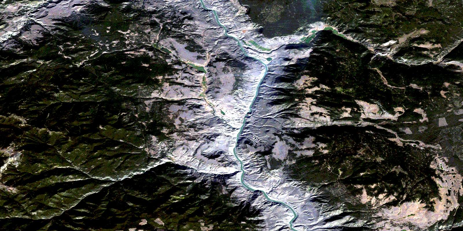
© Department of Natural Resources Canada. All rights reserved.
092O Related Maps:
092O Taseko Lakes092O01 Big Bar Creek
092O02 Noaxe Creek
092O03 Warner Pass
092O04 Tchaikazan River
092O05 Mount Tatlow
092O06 Anvil Mountain
092O07 Churn Creek
092O08 Empire Valley
092O09 Dog Creek
092O10 Mount Alex
092O11 Bambrick Creek
092O12 Elkin Creek
092O13 Scum Lake
092O14 Hanceville
092O15 Riske Creek
092O16 Alkali Lake
