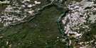
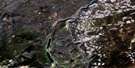
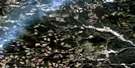
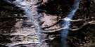
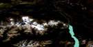
Warner Pass Satellite Image Map
Download Free Aerial Photo 092O03 at 1:50,000 scale
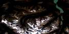
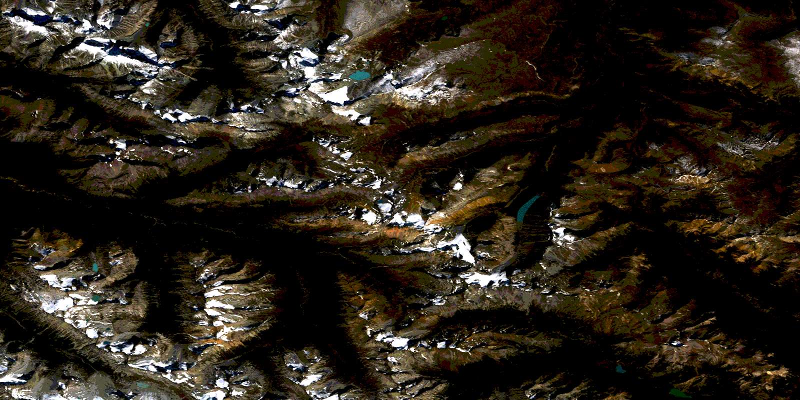
Warner Pass Satellite Imagery
To view this satellite map, mouse over the air photo on the right.
You can also download this satellite image map for free:
092O03 Warner Pass high-resolution satellite image map.
Maps for the Warner Pass aerial map sheet 092O03 at 1:50,000 scale are also available in these versions:
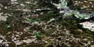
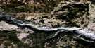
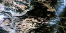
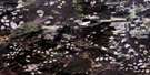
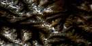
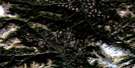
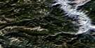
Warner Pass Surrounding Area Aerial Photo Maps
 |
 |
 |
 |
 |
 |
 |
 |
 |
 |
 |
 |
 |
 |
 |
 |
© Department of Natural Resources Canada. All rights reserved.
Warner Pass Gazetteer
The following places can be found on satellite image map 092O03 Warner Pass:
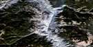
Warner Pass Satellite Image: Cliffs
Palisade BluffWarner Pass Satellite Image: Glaciers
Warner GlacierWarner Pass Satellite Image: Lakes
Hummingbird LakeLizardLake
Lorna Lake
Marian Lake
Nadila Lake
Spruce Lake
Summit Lakes
Trigger Lake
Tyaughton Lake
Vic Lake
Warner Lake
Warner Pass Satellite Image: Mountains
Battlement RidgeChaîne Côtière
Chilcotin Ranges
Cluckata Ridge
Coast Mountains
Dash Hill
Denain Ridge
Denain Spur
Dickson Peak
Dickson Range
Dorrie Peak
Elbow Mountain
Feo Ridge
Feo Spur
Leckie Mountains
Mount Cunningham
Mount Davidson
Mount McClure
Mount Sheba
Mount Solomon
Mount Vic
Mount Warner
Pacific Ranges
Pearson Ridge
Porteau Mountain
Rae Ridge
Rae Spur
Red Hill
Salmon Mount
Sheba Mountain
Taseko Mountain
Trail Ridge
Warner Ridge
Wilson Ridge
Warner Pass Satellite Image: Major municipal/district area - major agglomerations
Cariboo Regional DistrictWarner Pass Satellite Image: Plains
Dil-Dil PlateauWarner Pass Satellite Image: Rivers
Amazon CreekB. & F. Creek
Battlement Creek
Beece Creek
Big Creek
Bonanza Creek
Cairnes Creek
Chita Creek
Crane Creek
Dash Creek
Denain Creek
Duane Creek
Eldorado Creek
Feo Creek
Granite Creek
Grant Creek
Graveyard Creek
Griswold Creek
Gun Creek
Honduras Creek
Last Creek
Leckie Creek
Lick Creek
Little Paradise Creek
Lizard Creek
Manson Creek
McClure Creek
Mud Creek
Nadila Creek
Nea Creek
Noaxe Creek
North Cinnabar Creek
Powell Creek
Rae Creek
Relay Creek
Rowbottom Creek
Roxey Creek
Slim Creek
Sluice Creek
Taseko River
Tosh Creek
Tyaughton Creek
Tyaughton River
Warner Creek
Warner Pass Satellite Image: Valleys
Elbow PassIron Pass
Powell Pass
Tyoax Pass
Warner Pass
© Department of Natural Resources Canada. All rights reserved.
092O Related Maps:
092O Taseko Lakes092O01 Big Bar Creek
092O02 Noaxe Creek
092O03 Warner Pass
092O04 Tchaikazan River
092O05 Mount Tatlow
092O06 Anvil Mountain
092O07 Churn Creek
092O08 Empire Valley
092O09 Dog Creek
092O10 Mount Alex
092O11 Bambrick Creek
092O12 Elkin Creek
092O13 Scum Lake
092O14 Hanceville
092O15 Riske Creek
092O16 Alkali Lake
