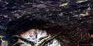
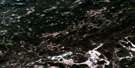
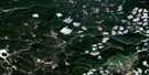
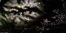
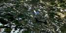
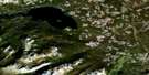
Clusko River Satellite Image Map
Download Free Aerial Photo 093C09 at 1:50,000 scale
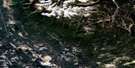
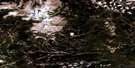
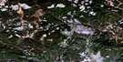
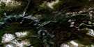
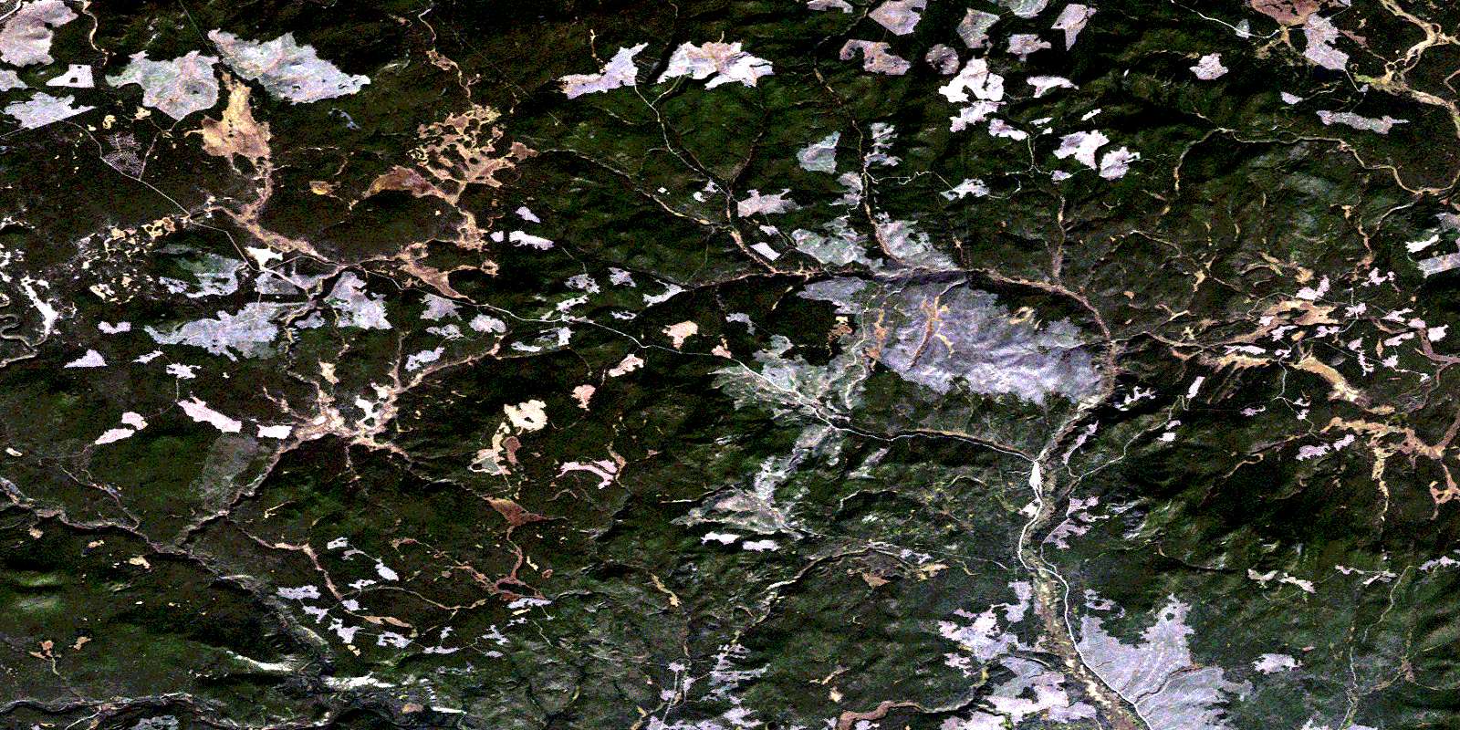
Clusko River Satellite Imagery
To view this satellite map, mouse over the air photo on the right.
You can also download this satellite image map for free:
093C09 Clusko River high-resolution satellite image map.
Maps for the Clusko River aerial map sheet 093C09 at 1:50,000 scale are also available in these versions:
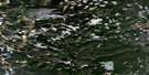
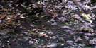
Clusko River Surrounding Area Aerial Photo Maps
 |
 |
 |
 |
 |
 |
 |
 |
 |
 |
 |
 |
 |
 |
 |
 |
© Department of Natural Resources Canada. All rights reserved.
Clusko River Gazetteer
The following places can be found on satellite image map 093C09 Clusko River:
Clusko River Satellite Image: Lakes
Horsehoof LakeHorsehoof Lakes
Clusko River Satellite Image: Mountains
Canyon MountainMount Dent
Mount Sheringham
Rocky Mountains
Sheringham Mountain
Thunder Mountain
Clusko River Satellite Image: Major municipal/district area - major agglomerations
Cariboo Regional DistrictClusko River Satellite Image: Plains
Fraser PlateauInterior Plateau
Clusko River Satellite Image: Rivers
Chilcotin RiverClisbako River
Clusko River
Guichon Creek
Horsehoof Creek
Moore Creek
Punkutlaenkut Creek
© Department of Natural Resources Canada. All rights reserved.
093C Related Maps:
093C Anahim Lake093C01 Chilanko Forks
093C02 Chantslar Lake
093C03 Charlotte Lake
093C04 Junker Lake
093C05 Atnarko
093C06 Anahim Lake
093C07 Satah Mountain
093C08 Chezacut
093C09 Clusko River
093C10 Downton Creek
093C11 Christensen Creek
093C12 Tusulko River
093C13 Ulkatcho
093C14 Carnlick Creek
093C15 Kushya River
093C16 Toil Mountain
