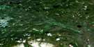
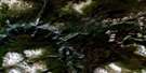
Carnlick Creek Satellite Image Map
Download Free Aerial Photo 093C14 at 1:50,000 scale
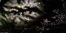
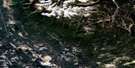
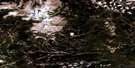
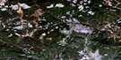
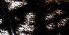
Carnlick Creek Satellite Imagery
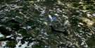
To view this satellite map, mouse over the air photo on the right.
You can also download this satellite image map for free:
093C14 Carnlick Creek high-resolution satellite image map.
Maps for the Carnlick Creek aerial map sheet 093C14 at 1:50,000 scale are also available in these versions:
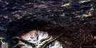
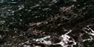
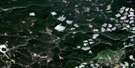
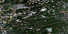
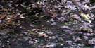
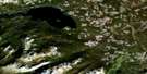
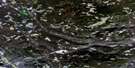
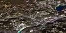
Carnlick Creek Surrounding Area Aerial Photo Maps
 |
 |
 |
 |
 |
 |
 |
 |
 |
 |
 |
 |
 |
 |
 |
 |
© Department of Natural Resources Canada. All rights reserved.
Carnlick Creek Gazetteer
The following places can be found on satellite image map 093C14 Carnlick Creek:
Carnlick Creek Satellite Image: Indian Reserves
Betty Creek Indian Reserve 18Cluchuta Lake Indian Reserve 10A
Cluchuta Lake Indian Reserve 10B
Réserve indienne Betty Creek 18
Réserve indienne Cluchuta Lake 10A
Réserve indienne Cluchuta Lake 10B
Réserve indienne Salmon River Meadow 7
Réserve indienne Tzetzi Lake 11
Salmon River Meadow Indian Reserve 7
Tzetzi Lake Indian Reserve 11
Carnlick Creek Satellite Image: Lakes
Basalt LakeCluchuta Lake
Eliguk Lake
Naglico Lake
Pettry Lake
Rainbow Lake
Sedum Lake
Stuyvesant Lake
Tilgatgo Lake
Tsetzi Lake
Tsilbekuz Lake
Tundra Lake
Carnlick Creek Satellite Image: Mountains
Campanula PeakCindercone Peak
Crepis Peak
Crumble Mountain
Dodds Domes
Far Mountain
Hierochloë Peak
Ilgachuz Mountain
Ilgachuz Mountains
Ilgachuz Range
Itcha Range
Mizzen Mountain
Monocephala Peak
Mount Mizzen
Nana Peak
Pipe Organ Mountain
Stonecrop Ridge
Tundra Mountain
Carnlick Creek Satellite Image: Major municipal/district area - major agglomerations
Cariboo Regional DistrictCarnlick Creek Satellite Image: Plains
Fraser PlateauInterior Plateau
Nechako Plateau
Carnlick Creek Satellite Image: Rivers
Blue Canyon CreekCarnlick Creek
Far Creek
Festuca Creek
Pan Creek
Phacelia Creek
Rich Creek
Sedum Creek
Shag Creek
Tanswanket Creek
Tsetzi Creek
Ulgako Creek
West Road (Blackwater) River
Carnlick Creek Satellite Image: Valleys
Festuca Pass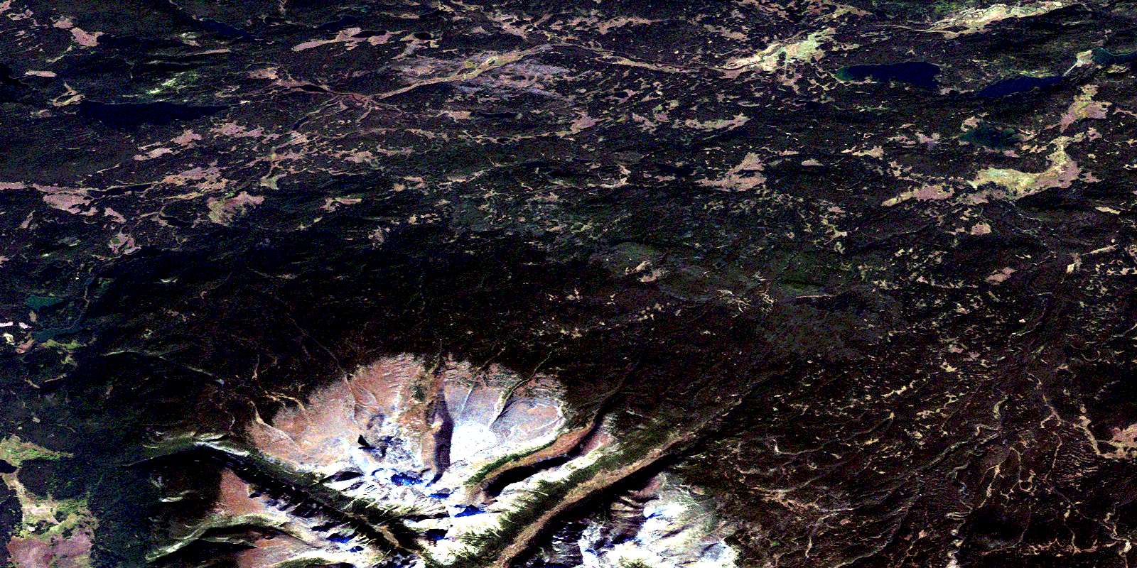
© Department of Natural Resources Canada. All rights reserved.
093C Related Maps:
093C Anahim Lake093C01 Chilanko Forks
093C02 Chantslar Lake
093C03 Charlotte Lake
093C04 Junker Lake
093C05 Atnarko
093C06 Anahim Lake
093C07 Satah Mountain
093C08 Chezacut
093C09 Clusko River
093C10 Downton Creek
093C11 Christensen Creek
093C12 Tusulko River
093C13 Ulkatcho
093C14 Carnlick Creek
093C15 Kushya River
093C16 Toil Mountain
