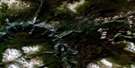
Chezacut Satellite Image Map
Download Free Aerial Photo 093C08 at 1:50,000 scale
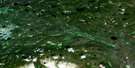
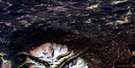
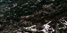
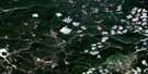
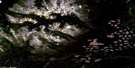
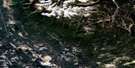
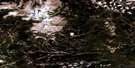
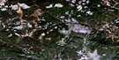
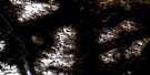
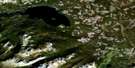
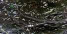
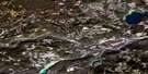
Chezacut Satellite Imagery
To view this satellite map, mouse over the air photo on the right.
You can also download this satellite image map for free:
093C08 Chezacut high-resolution satellite image map.
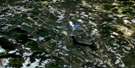
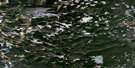
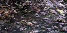
Maps for the Chezacut aerial map sheet 093C08 at 1:50,000 scale are also available in these versions:
Chezacut Surrounding Area Aerial Photo Maps
 |
 |
 |
 |
 |
 |
 |
 |
 |
 |
 |
 |
 |
 |
 |
 |
© Department of Natural Resources Canada. All rights reserved.
Chezacut Gazetteer
The following places can be found on satellite image map 093C08 Chezacut:
Chezacut Satellite Image: Indian Reserves
Agats Meadow Indian Reserve 8Alexis Creek Indian Reserve 20
Alexis Creek Indian Reserve 21
Alexis Creek Indian Reserve 22
Alexis Creek Indian Reserve 23
Alexis Creek Indian Reserve 24
Alexis Creek Indian Reserve 25
Alexis Creek Indian Reserve 26
Alexis Creek Indian Reserve 27
Alexis Creek Indian Reserve 28
Alexis Creek Indian Reserve 29
Alexis Creek Indian Reserve 30
Alexis Creek Indian Reserve 31
Alexis Creek Indian Reserve 32
Alexis Creek Indian Reserve 33
Alexis Creek Indian Reserve 34
Alexis Creek Indian Reserve 35
Alexis Creek Indian Reserve 6
Charley Boy's Meadow Indian Reserve 3
Chezacut Cemetery Indian Reserve 5
Freddie Charley Boy Indian Reserve 7
Réserve indienne Agats Meadow 8
Réserve indienne Alexis Creek 20
Réserve indienne Alexis Creek 21
Réserve indienne Alexis Creek 22
Réserve indienne Alexis Creek 23
Réserve indienne Alexis Creek 24
Réserve indienne Alexis Creek 25
Réserve indienne Alexis Creek 26
Réserve indienne Alexis Creek 27
Réserve indienne Alexis Creek 28
Réserve indienne Alexis Creek 29
Réserve indienne Alexis Creek 30
Réserve indienne Alexis Creek 31
Réserve indienne Alexis Creek 32
Réserve indienne Alexis Creek 33
Réserve indienne Alexis Creek 34
Réserve indienne Alexis Creek 35
Réserve indienne Alexis Creek 6
Réserve indienne Charley Boy's Meadow 3
Réserve indienne Chezacut Cemetery 5
Réserve indienne Freddie Charley Boy 7
Réserve indienne Toby Helenes Meadow 9
Réserve indienne Toby's Meadow 4
Toby Helenes Meadow Indian Reserve 9
Toby's Meadow Indian Reserve 4
Chezacut Satellite Image: Lakes
Billy LakeChilcotin Lake
Chezacut Satellite Image: Mountains
Arc MountainCopeland Hills
Luck Mountain
Meridional Hill
Mount Arc
Mount Charlieboy
Puntzi Ridge
Redtop Mountain
Chezacut Satellite Image: Major municipal/district area - major agglomerations
Cariboo Regional DistrictChezacut Satellite Image: Plains
Fraser PlateauInterior Plateau
Chezacut Satellite Image: Rivers
Billy CreekChilcotin River
Clinchintampan Creek
Clusko River
Guichon Creek
Jorgensen Creek
Knoll Creek
Palmer Creek
Punkutlaenkut Creek
Puntzi Creek
Chezacut Satellite Image: Unincorporated areas
Chezacut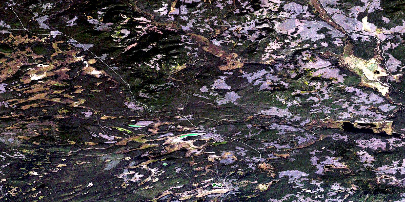
© Department of Natural Resources Canada. All rights reserved.
093C Related Maps:
093C Anahim Lake093C01 Chilanko Forks
093C02 Chantslar Lake
093C03 Charlotte Lake
093C04 Junker Lake
093C05 Atnarko
093C06 Anahim Lake
093C07 Satah Mountain
093C08 Chezacut
093C09 Clusko River
093C10 Downton Creek
093C11 Christensen Creek
093C12 Tusulko River
093C13 Ulkatcho
093C14 Carnlick Creek
093C15 Kushya River
093C16 Toil Mountain
