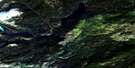
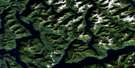
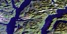
Kwatna River Satellite Image Map
Download Free Aerial Photo 093D03 at 1:50,000 scale
Kwatna River Satellite Imagery
To view this satellite map, mouse over the air photo on the right.
You can also download this satellite image map for free:
093D03 Kwatna River high-resolution satellite image map.
Maps for the Kwatna River aerial map sheet 093D03 at 1:50,000 scale are also available in these versions:
Kwatna River Surrounding Area Aerial Photo Maps
 |
 |
 |
 |
 |
 |
 |
 |
 |
 |
 |
 |
 |
 |
 |
 |
© Department of Natural Resources Canada. All rights reserved.
Kwatna River Gazetteer
The following places can be found on satellite image map 093D03 Kwatna River:
Kwatna River Satellite Image: Bays
Kwatna BayKwatna Inlet
Kwatna River Satellite Image: Capes
Cathedral PointGaarden Point
Gibraltar Point
Kwatna River Satellite Image: Channels
Burke ChannelKwatna River Satellite Image: Indian Reserves
Kwatlena Indian Reserve 4Réserve indienne Kwatlena 4
Kwatna River Satellite Image: Islands
King IslandKwatna River Satellite Image: Mountains
Bentinck SpireChaîne Côtière
Coast Mountains
Kitimat Ranges
Pacific Ranges
Kwatna River Satellite Image: Major municipal/district area - major agglomerations
Central Coast Regional DistrictOcean Falls Regional District
Kwatna River Satellite Image: Rivers
Clyak RiverHot Springs Creek
Kwatna River
Oak Beck Creek
Quatlena River
Slousiska Creek
Thorwald Creek
Young River
Kwatna River Satellite Image: Shoals
Kwatna Rocks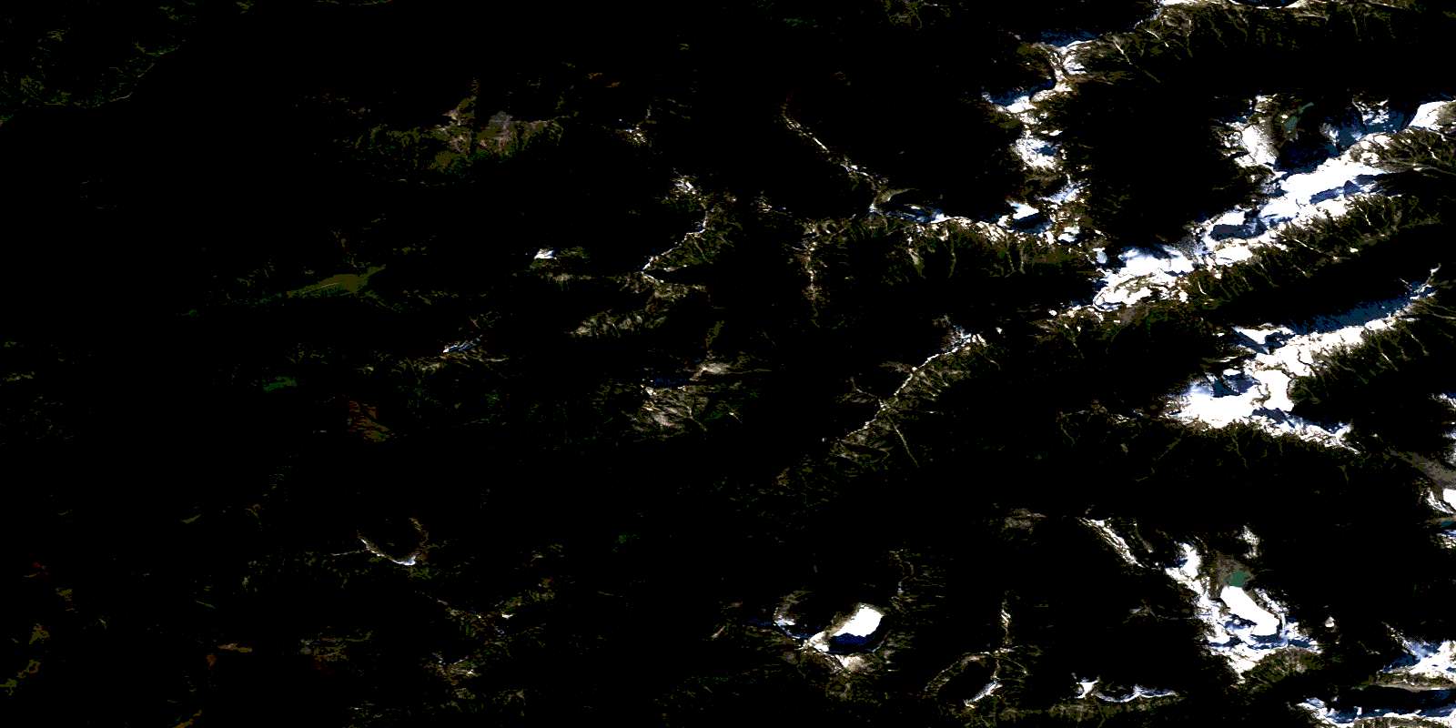
© Department of Natural Resources Canada. All rights reserved.
093D Related Maps:
093D Bella Coola093D01 Jacobsen Glacier
093D02 South Bentinck Arm
093D03 Kwatna River
093D04 Fisher Channel
093D05 Ocean Falls
093D06 Labouchere Channel
093D07 Bella Coola
093D08 Stuie
093D09 Tahyesco River
093D10 Swallop Creek
093D11 Skowquiltz River
093D12 Ellerslie Lake
093D13 Tezwa River
093D14 Kimsquit River
093D15 Kimsquit
093D16 Sigutlat Lake
