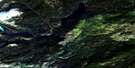
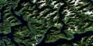
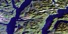
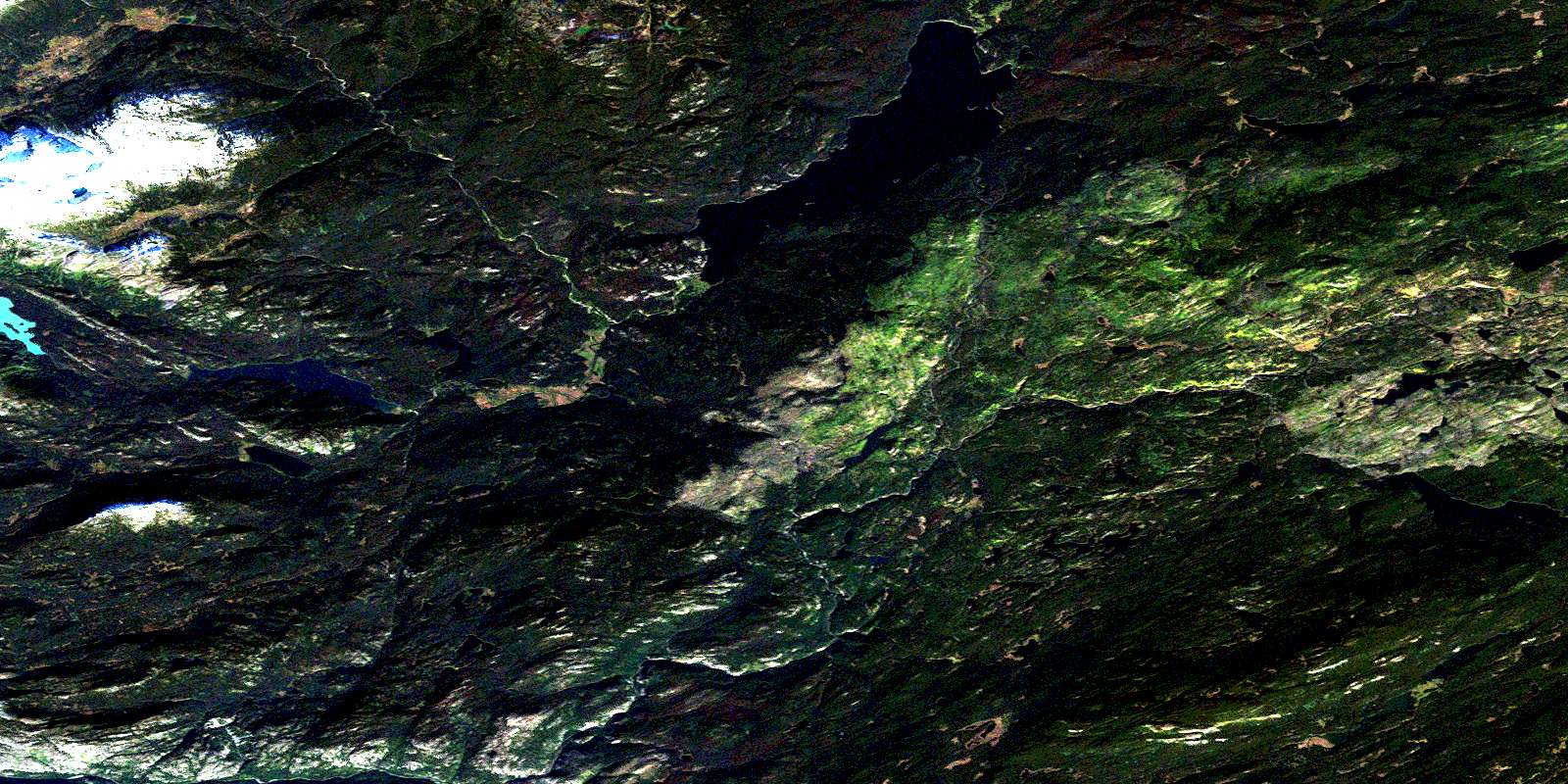
Sigutlat Lake Satellite Image Map
Download Free Aerial Photo 093D16 at 1:50,000 scale
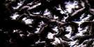
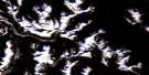
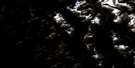
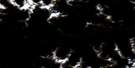
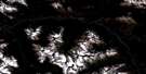
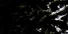
Sigutlat Lake Satellite Imagery
To view this satellite map, mouse over the air photo on the right.
You can also download this satellite image map for free:
093D16 Sigutlat Lake high-resolution satellite image map.
Maps for the Sigutlat Lake aerial map sheet 093D16 at 1:50,000 scale are also available in these versions:
Sigutlat Lake Surrounding Area Aerial Photo Maps
 |
 |
 |
 |
 |
 |
 |
 |
 |
 |
 |
 |
 |
 |
 |
 |
© Department of Natural Resources Canada. All rights reserved.
Sigutlat Lake Gazetteer
The following places can be found on satellite image map 093D16 Sigutlat Lake:
Sigutlat Lake Satellite Image: Lakes
Iltasyouko LakeIltasyuko Lake
Sherry Lake
Sigutlat Lake
Stick Lake
Tanya Lakes
Sigutlat Lake Satellite Image: Mountains
Coast MountainsKitimat Ranges
Mount Jones
Pattullo Range
Tanya Mountain
Sigutlat Lake Satellite Image: Major municipal/district area - major agglomerations
Cariboo Regional DistrictCentral Coast Regional District
Sigutlat Lake Satellite Image: Conservation areas
Tweedsmuir ParkSigutlat Lake Satellite Image: Plains
Fraser PlateauInterior Plateau
Nechako Plateau
Sigutlat Lake Satellite Image: Rivers
Bottleneck CreekDean River
Iltasyouko River
Iltasyuko River
Nahlouza Creek
Qualcho Creek
Ramsey Creek
Sigutlat Creek
Sigutlat River
Taiataeszi Creek
Taiateazi River
Takia River
© Department of Natural Resources Canada. All rights reserved.
093D Related Maps:
093D Bella Coola093D01 Jacobsen Glacier
093D02 South Bentinck Arm
093D03 Kwatna River
093D04 Fisher Channel
093D05 Ocean Falls
093D06 Labouchere Channel
093D07 Bella Coola
093D08 Stuie
093D09 Tahyesco River
093D10 Swallop Creek
093D11 Skowquiltz River
093D12 Ellerslie Lake
093D13 Tezwa River
093D14 Kimsquit River
093D15 Kimsquit
093D16 Sigutlat Lake
