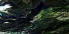
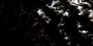
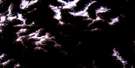
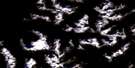
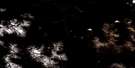
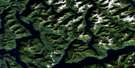
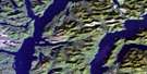
Swallop Creek Satellite Image Map
Download Free Aerial Photo 093D10 at 1:50,000 scale
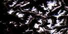
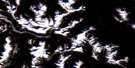
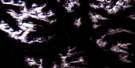
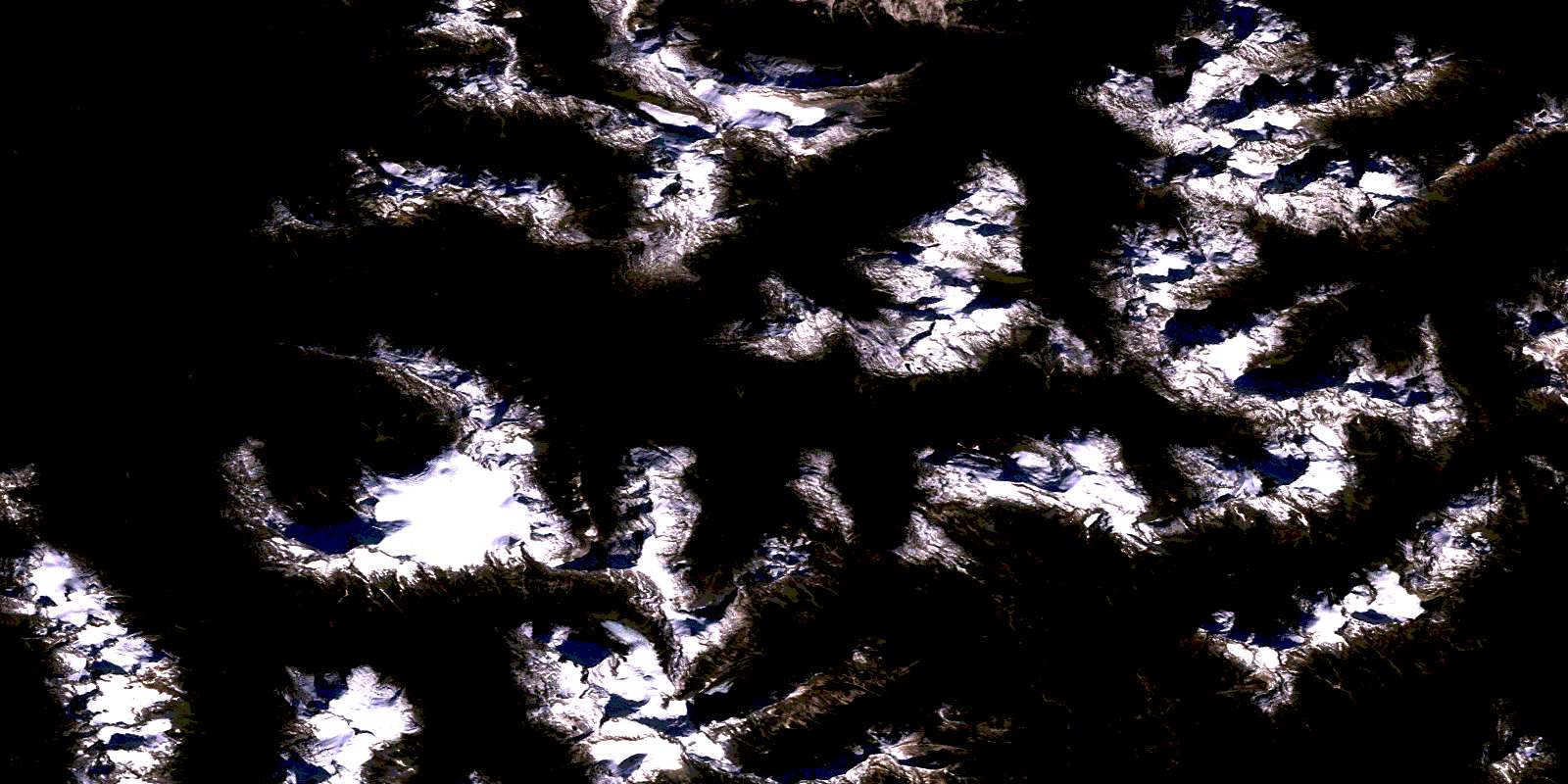
Swallop Creek Satellite Imagery
To view this satellite map, mouse over the air photo on the right.
You can also download this satellite image map for free:
093D10 Swallop Creek high-resolution satellite image map.
Maps for the Swallop Creek aerial map sheet 093D10 at 1:50,000 scale are also available in these versions:
Swallop Creek Surrounding Area Aerial Photo Maps
 |
 |
 |
 |
 |
 |
 |
 |
 |
 |
 |
 |
 |
 |
 |
 |
© Department of Natural Resources Canada. All rights reserved.
Swallop Creek Gazetteer
The following places can be found on satellite image map 093D10 Swallop Creek:
Swallop Creek Satellite Image: Capes
Raphoe PointSwallop Creek Satellite Image: Channels
Dean ChannelSwallop Creek Satellite Image: Cliffs
Index CragSwallop Creek Satellite Image: Lakes
Talcheazoone LakesSwallop Creek Satellite Image: Mountains
Chaîne CôtièreCoast Mountains
Forward Peak
Kalone Peak
Kitimat Ranges
Mount Creswell
Swallop Creek Satellite Image: Major municipal/district area - major agglomerations
Central Coast Regional DistrictSwallop Creek Satellite Image: Rivers
Christenson CreekCrag Creek
Humpback Creek
Jump Across Creek
Kalone Creek
Kalone River
Necleetsconnay River
Nooskulla Creek
Nusash Creek
Salloomt River
Sutslem Creek
Swallop Creek
© Department of Natural Resources Canada. All rights reserved.
093D Related Maps:
093D Bella Coola093D01 Jacobsen Glacier
093D02 South Bentinck Arm
093D03 Kwatna River
093D04 Fisher Channel
093D05 Ocean Falls
093D06 Labouchere Channel
093D07 Bella Coola
093D08 Stuie
093D09 Tahyesco River
093D10 Swallop Creek
093D11 Skowquiltz River
093D12 Ellerslie Lake
093D13 Tezwa River
093D14 Kimsquit River
093D15 Kimsquit
093D16 Sigutlat Lake
